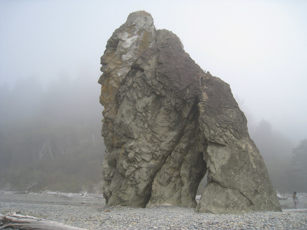
Photo: U.S. Forest Service, Public domain (via Wikimedia Commons)
Paddling · 37 spots
Featured spots
All spots · 37 spots

Canoeing
Cedar Creek
Forks, Washington

Canoeing
Christmas Creek
Forks, Washington
Canoeing
Clearwater River
Forks, Washington

Canoeing
Coal Creek
Forks, Washington
Canoeing
East Fork Miller Creek
Forks, Washington
Canoeing
Elk Creek
Forks, Washington
Canoeing
Elk Creek
Forks, Washington
Canoeing
Finley Creek
Forks, Washington

Canoeing
Goodman Creek
Forks, Washington
Canoeing
Hell Roaring Creek
Forks, Washington
Canoeing
Hurst Creek
Forks, Washington
Canoeing
Kalaloch Creek
Forks, Washington
Canoeing
Manor Creek
Forks, Washington
Canoeing
Maple Creek
Forks, Washington
Canoeing
Matheny Creek
Forks, Washington
Canoeing
Maxfield Creek
Forks, Washington
Canoeing
Middle Fork Salmon River
Forks, Washington

Canoeing
Miller Creek
Forks, Washington
Canoeing
Minter Creek
Forks, Washington
Canoeing
Mount Tom Creek
Forks, Washington
Canoeing
Murphy Creek
Forks, Washington
Canoeing
Nolan Creek
Forks, Washington
Canoeing
Owl Creek
Forks, Washington

Canoeing
Salmon River
Forks, Washington
Keep exploring — more water worth the drive
Photo: U.S. Forest Service, Public domain (via Wikimedia Commons)Mosquito Creek
~21 min drive
Mosquito Creek is a 9.5-mile paddling stretch near Forks, Washington. It flows year-round. USGS models an average flow of about 110 cfs and a gradient of about 75.6 feet per mile.
Morgan's Crossing Boating Site
~10 min drive
A worthwhile stop near Washington.
 Photo: Kimon Berlin, CC BY-SA 2.0 (via Wikimedia Commons)
Sol Duc River
~40 min drive
Sol Duc River is a 6.8-mile paddling stretch near Port Angeles, Washington. It flows year-round. USGS models an average flow of about 147 cfs and a gradient of about 345.9 feet per mile. Land along it is managed by the National Park Service.
Hartzell Creek Boat Launch
~22 min drive
Hartzell Creek Boat Launch is a boat launch in Washington.
Snahapish River
~4 min drive
Snahapish River is a 13-mile paddling stretch near Forks, Washington. It flows year-round. USGS models an average flow of about 145 cfs and a gradient of about 39.2 feet per mile. Land along it is managed by the state natural resources department.
Three Rivers Boat Launch
~37 min drive
Three Rivers Boat Launch is a boat launch in Washington.
Christmas Creek
~6 min drive
Christmas Creek is a 9.8-mile paddling stretch near Forks, Washington. It flows year-round. USGS models an average flow of about 63 cfs and a gradient of about 115.5 feet per mile. Land along it is managed by the state natural resources department.
Dickey Boat Ramp
~42 min drive
Dickey Boat Ramp is a boat launch in Washington.
Winfield Creek
~7 min drive
Winfield Creek is a 5.9-mile paddling stretch near Forks, Washington. It flows year-round. USGS models an average flow of about 79 cfs and a gradient of about 123.7 feet per mile.
Maple Creek
~8 min drive
Maple Creek is a 4.5-mile paddling stretch near Forks, Washington. It flows year-round. USGS models an average flow of about 50 cfs and a gradient of about 378.3 feet per mile. Land along it is managed by the state natural resources department.
Nolan Creek
~8 min drive
Nolan Creek is a 7.2-mile paddling stretch near Forks, Washington. It flows year-round. USGS models an average flow of about 54 cfs and a gradient of about 139.1 feet per mile.
Elk Creek
~9 min drive
Elk Creek is a 2.6-mile paddling stretch near Forks, Washington. It flows year-round. USGS models an average flow of about 36 cfs and a gradient of about 99.4 feet per mile. Land along it is managed by the state natural resources department.