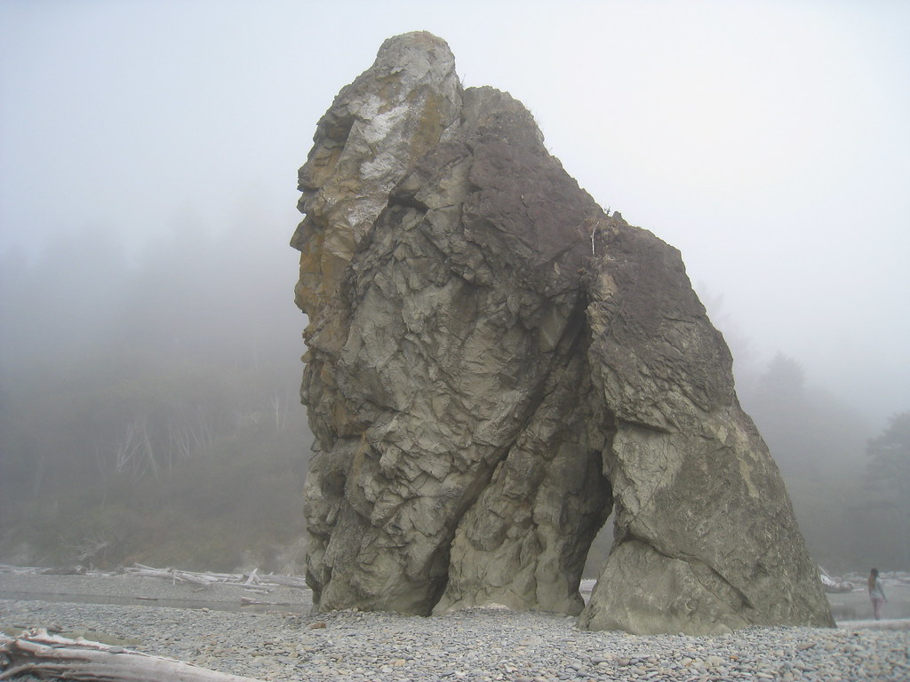
Pacheedaht Campground
Kayaking business nearby (~41 mi away) — hasn't claimed their Roamze page yet
Free — you'll pick up right here.
Watch this water
Sign up to watch it — saving subscribes you to gate, closure and report changes.
Washington
No agency boundary, access route or field report is mapped to it — so there is no verdict, and we won't guess. We'll tell you the moment this water has something to say.
Covered nearby
Waters within 25 miles where we do have a current picture.
Nobody's filed a report here yet — be the first.
Why you'll love it
Long-term averages modeled by USGS (NHDPlus HR), not today's conditions. Check a gauge before you go.
Coal Creek
AI-suggested draft · review before you go
Coal Creek is a 7.1-mile paddling stretch near Forks, Washington. It flows year-round. USGS models an average flow of about 49 cfs and a gradient of about 64.5 feet per mile. Land along it is managed by the state natural resources department.
 Photo: U.S. Forest Service, Public domain (via Wikimedia Commons)
Mosquito Creek
~26 min drive
Mosquito Creek is a 9.5-mile paddling stretch near Forks, Washington. It flows year-round. USGS models an average flow of about 110 cfs and a gradient of about 75.6 feet per mile.
Dickey Boat Ramp
~7 min drive
Dickey Boat Ramp is a boat launch in Washington.
West Fork Dickey River
~11 min drive
West Fork Dickey River is a 9.9-mile paddling stretch near Beaver, Washington. It flows year-round. USGS models an average flow of about 218 cfs and a gradient of about 12.3 feet per mile.
Three Rivers Boat Launch
~9 min drive
Three Rivers Boat Launch is a boat launch in Washington.
Thunder Creek
~12 min drive
Thunder Creek is a 5.8-mile paddling stretch near Beaver, Washington. It flows year-round. USGS models an average flow of about 41 cfs and a gradient of about 36.7 feet per mile.
Swan Bay Boat Launch
~17 min drive
Swan Bay Boat Launch is a boat launch in Washington.
Murphy Creek
~13 min drive
Murphy Creek is a 4.6-mile paddling stretch near Forks, Washington. It flows year-round. USGS models an average flow of about 32 cfs and a gradient of about 54.2 feet per mile.
Beaver Lake Boating Site
~32 min drive
A worthwhile stop near Washington.
Maxfield Creek
~14 min drive
Maxfield Creek is a 6.5-mile paddling stretch near Forks, Washington. It flows year-round. USGS models an average flow of about 61 cfs and a gradient of about 81.3 feet per mile.
East Fork Dickey River
~14 min drive
East Fork Dickey River is a 16-mile paddling stretch near Beaver, Washington. It flows year-round. USGS models an average flow of about 227 cfs and a gradient of about 78.6 feet per mile.
Local operators near Forksoffering guided trips. You book directly with them — Roamze doesn’t take a cut.
Pacheedaht Campground
Kayaking business nearby (~41 mi away) — hasn't claimed their Roamze page yet
Crescent Beach
Kayaking business nearby (~43 mi away) — hasn't claimed their Roamze page yet
