Mowich Camp
- Free
- fee
- May–Oct
- best months
Is Mowich Camp open right now?
Alert in the area
The Forest Service lists 6 alerts for Gifford Pinchot National Forest.
Fire Restrictions
Agency alert covering Gifford Pinchot National Forest · USFS · Gifford Pinchot National Forest
Seasonal Road Closures
Agency alert covering Gifford Pinchot National Forest · USFS · Gifford Pinchot National Forest
Road Repairs & Road Closures in 2026
Agency alert covering Gifford Pinchot National Forest · USFS · Gifford Pinchot National Forest
Washout on Forest Road 93
Agency alert covering Gifford Pinchot National Forest · USFS · Gifford Pinchot National Forest
Upper State Route 504 closed at milepost 45.2 due to large slide
Agency alert covering Gifford Pinchot National Forest · USFS · Gifford Pinchot National Forest
As of · Source: USFS · Gifford Pinchot National Forest. Agencies don't list every closure — check before you go.
- Mt. Adams Ranger DistrictGifford Pinchot National Forest
Mowich Camp is a campground in Washington.
Local outfitters
- Northwest Rafting Company26 mi away
- Vancouver Mall RV Park27 mi away
Not on Roamze yet. Their page has how to reach them.
- Layout CreekCanoeing1.8 mi
- Snag Creek TrailHiking1.9 mi
- Sedum PointHiking2 mi
- Rock Creek Cliff (aka Clif's Cliff)Rock climbing2.8 mi
- North Section (Left Side)Rock climbing2.8 mi
- Trout CreekCanoeing3.4 mi
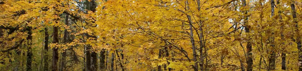 Beaver CampgroundCampingPhoto: Recreation.gov (RIDB) / public domain6 mi
- Dougan FallsWaterfall9.9 mi
Source: Roamze catalog (indexable pages within 10 miles, PostGIS distance)
- Beaver CampgroundCamping · ~10 min drive
- Eagle Creek Overlook Grp SiteCamping · ~20 min drive
- Panther Creek campgroundCamping · ~14 min drive
- Spring CampCamping · ~4 min drive
- Lookout Mountain CampCamping · ~5 min drive
- Fourth of July CampCamping · ~6 min drive
- Doughgob CampCamping · ~9 min drive
- Government Mineral Springs CampgroundCamping · ~11 min drive
- Govt. Mineral Springs CgCamping · ~11 min drive
- Berry CampCamping · ~16 min drive
Also worth it near here
- Rock Creek Cliff (aka Clif's Cliff)Rock climbing · ~5 min drive
 Washougal RiverCanoeing · ~9 min drivePhoto: Leslie butler, CC BY 2.0 (via Wikimedia Commons)
 Bunker HillHiking · ~9 min drivePhoto: Ken Lund from Reno, Nevada, USA, CC BY-SA 2.0 (via Wikimedia Commons)
- Soda Peaks LakeMountain biking · ~11 min drive
 Greenleaf PeakSummit · ~11 min drivePhoto: Walter Siegmund (talk), CC BY-SA 3.0 (via Wikimedia Commons)
Best time to visit Mowich Camp
Best months: May–October. Best months have typical highs of 55–85 °F, lows of 30 °F or warmer (32 °F where the station doesn't record snow), at most one snowy day and no more than 12 wet days.
Jan
38° / 28°
19 wet
Feb
43° / 29°
16 wet
Mar
50° / 31°
17 wet
Apr
57° / 35°
16 wet
May
66° / 41°
12 wet
Jun
72° / 46°
7 wet
Jul
81° / 49°
3 wet
Aug
82° / 49°
3 wet
Sep
74° / 44°
6 wet
Oct
60° / 38°
12 wet
Nov
46° / 33°
17 wet
Dec
38° / 29°
20 wet
Typical high / low (°F) and days with rain or snow, 1991–2020. Measured at Carson Fish Hatchery, WA, 6.2 mi away at 1,134 ft. We don't have this place's elevation, so higher spots nearby can run cooler. This station doesn't record snowfall. Source: NOAA NCEI U.S. Climate Normals 1991–2020.
Map and trail data © OpenStreetMap contributors
