Sedum Point
- 2.2 mi
- round trip
- 519 ft
- climb
- 2,952 ft
- high point
- Out and back
- route
Is Sedum Point open right now?
Alert in the area
The Forest Service lists 6 alerts for Gifford Pinchot National Forest.
Fire Restrictions
Agency alert covering Gifford Pinchot National Forest · USFS · Gifford Pinchot National Forest
Seasonal Road Closures
Agency alert covering Gifford Pinchot National Forest · USFS · Gifford Pinchot National Forest
Road Repairs & Road Closures in 2026
Agency alert covering Gifford Pinchot National Forest · USFS · Gifford Pinchot National Forest
Washout on Forest Road 93
Agency alert covering Gifford Pinchot National Forest · USFS · Gifford Pinchot National Forest
Upper State Route 504 closed at milepost 45.2 due to large slide
Agency alert covering Gifford Pinchot National Forest · USFS · Gifford Pinchot National Forest
As of · Source: USFS · Gifford Pinchot National Forest. Agencies don't list every closure — check before you go.
Sedum Point is an easy out-and-back hike in the Mt. Adams Ranger District of Gifford Pinchot National Forest in Washington, about 2.2 miles long with a total elevation gain of 519 feet. The trail starts at a low point of about 2,450 feet and climbs to a high point of about 2,952 feet. The route is natural-surface and not accessible. It is managed by the Forest Service, and the climb is gentle enough to make a short outing. The Sedum Ridge Trail lies about 0.9 miles away, and the Planting Creek Ridge Trail is about 1.2 miles off. Climbers can find Rock Creek Cliff (aka Clif's Cliff) about 2.4 miles away, and Beaver Campground is about 4.9 miles away for an overnight stay.
Local outfitters
- Bike the Gorge10 mi away
- Wildwood Adventures38 mi away
Not on Roamze yet. Their page has how to reach them.
- Sedum Ridge TrailHiking0.9 mi
- Planting Creek Ridge TrailHiking1.2 mi
- North Section (Left Side)Rock climbing2.4 mi
- Rock Creek Cliff (aka Clif's Cliff)Rock climbing2.4 mi
- Trout CreekCanoeing2.4 mi
- Layout CreekCanoeing2.7 mi
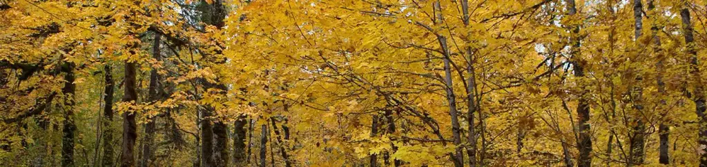 Beaver CampgroundCampingPhoto: Recreation.gov (RIDB) / public domain4.9 mi
- Govt Mineral Springs Guard StaCamping6.1 mi
Source: Roamze catalog (indexable pages within 10 miles, PostGIS distance)
 TRAPPER CREEKHiking · ~11 min drivePhoto: Greg Willis from Denver, CO, usa, CC BY-SA 2.0 (via Wikimedia Commons)
 North Table Mountain TrailHiking · ~12 min drivePhoto: Ryan Snyder, CC BY 2.0 (via Wikimedia Commons)
- Table Mountain TrailHiking · ~12 min drivePhoto: Ryan Snyder, CC BY 2.0 (via Wikimedia Commons)
- Trapper Creek Trail #192.2Hiking · ~11 min drive
- Soda Peaks LakeHiking · ~11 min drivePhoto: Greg Willis from Denver, CO, usa, CC BY-SA 2.0 (via Wikimedia Commons)
 West Table Mountain TrailHiking · ~13 min drivePhoto: Ryan Snyder, CC BY 2.0 (via Wikimedia Commons)
- Trapper CreekHiking · ~11 min drivePhoto: Greg Willis from Denver, CO, usa, CC BY-SA 2.0 (via Wikimedia Commons)
- UPPER FALLS CREEKHiking · ~14 min drive
- Sedum Ridge TrailHiking · ~1 min drive
 Equestrian TrailHiking · ~16 min drivePhoto: Robert Ashworth from Bellingham, WA., USA, CC BY 2.0 (via Wikimedia Commons)

