Chittenden Brook Campground
Campground
Campground · 2.1 mi from the trail
Closure in the area
There's a closure order in Green Mountain and Finger Lakes National Forests. It doesn't name Vermont's Lonely Rocks - Central, so check the source for the area it covers (3 listed).
Klondike Fire Incident Report
Agency closure covering Green Mountain and Finger Lakes National Forests · USFS · Green Mountain and Finger Lakes National Forests
Heavily damaged or closed trails
Agency closure covering Green Mountain and Finger Lakes National Forests · USFS · Green Mountain and Finger Lakes National Forests
Glastenbury fire tower is closed to public use
Agency closure covering Green Mountain and Finger Lakes National Forests · USFS · Green Mountain and Finger Lakes National Forests
Moosalamoo Campground Water System
Agency alert covering Green Mountain and Finger Lakes National Forests · USFS · Green Mountain and Finger Lakes National Forests
As of · Source: USFS · Green Mountain and Finger Lakes National Forests. Agencies don't list every closure — check before you go.
Lonely Rocks is a bouldering area in Vermont's Green Mountain and Finger Lakes National Forests, within the Rochester Ranger District. The Forest Service manages the land. It is a bouldering destination with eight routes, all of them boulders, and the grade range runs from V1-2 up to V9+. Summer and early fall are the most comfortable times to visit. Typical averages from the Rochester, Vermont weather station, about 7 miles away, show July highs near 79°F and September highs around 72°F with lows in the upper 40s. That station sits well below the boulders, so temperatures up high run cooler. The area's routes include The Cat's Mouth at V1-2 and Xocolatl at V6, plus The Sharpest Knife at V9- and Nesting Doll at V9+. The Wetmore Gap Trail and Caryl Brook are hikes within a mile, and Chittenden Brook Campground is about 2 miles away.
Chittenden Brook Campground
Campground
 If it rainsHarvey Barrison from Massapequa, NY, USA, CC BY-SA 2.0 · Wikimedia Commons
Museum and active dairy farm in Woodstock, Vermont
Places © OpenStreetMap contributors, Places © Overture Maps Foundation · Photos: Harvey Barrison from Massapequa, NY, USA, CC BY-SA 2.0 (commons)
More in Randolph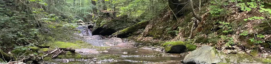 Chittenden Brook CampgroundCampingPhoto: Recreation.gov (RIDB) / public domain2.1 mi
Source: Roamze catalog (indexable pages within 10 miles, PostGIS distance)
 Lake Dunmore/Falls of LanaRock climbing · ~18 min drivePhoto: Boston Public Library, CC BY 2.0 (via Wikimedia Commons)Main CragRock climbing · ~18 min drivePhoto: Boston Public Library, CC BY 2.0 (via Wikimedia Commons)
Best months: August–October. Best months have typical highs of 55–85 °F, lows of 30 °F or warmer (32 °F where the station doesn't record snow), at most one snowy day and no more than 12 wet days.
Jan
29° / 9°
9 wet
Feb
32° / 9°
8 wet
Mar
41° / 17°
9 wet
Apr
54° / 30°
11 wet
May
67° / 41°
13 wet
Jun
75° / 50°
14 wet
Jul
79° / 55°
13 wet
Aug
78° / 54°
11 wet
Sep
72° / 47°
10 wet
Oct
58° / 36°
12 wet
Nov
46° / 27°
10 wet
Dec
35° / 16°
10 wet
Typical high / low (°F) and days with rain or snow, 1991–2020. Measured at Rochester, VT, 7.1 mi away at 830 ft. The station sits about 1,200 ft lower than this place, so expect it a little cooler here. This station doesn't record snowfall. Source: NOAA NCEI U.S. Climate Normals 1991–2020.
