Muddy Creek
 Photo: Doc Searls from Santa Barbara, USA, CC BY 2.0 (via Wikimedia Commons)
- 95.4 mi
- distance
- 7,862 ft
- high point
- May–Oct
- best months
Muddy Creek is a 95-mile paddling stretch near Green River, Utah, on land managed by the Bureau of Land Management's Price Field Office. It is an intermittent waterway, and some parts may run dry in certain seasons. USGS models an average flow of about 124 cfs and a gradient of about 34.7 feet per mile. Summer is the most comfortable time to paddle. Typical averages from a nearby weather station at Salina put July highs around 80°F with lows near 53°F, while winter highs stay in the low 30s. Nearby, Upper Muddy Creek offers rock climbing about 8 miles away, and the Hebe Canyon Trail is also about 8 miles off. Reds Canyon, another climbing area, is about 8 miles from the creek.
Source: Roamze catalog (indexable pages within 10 miles, PostGIS distance)
 Cottonwood CreekCanoeing · ~54 min drivePhoto: Clyde Charles Brown, CC BY-SA 4.0 (via Wikimedia Commons)
- Chute of Muddy LaunchBoat launch · ~14 min drive
 San Rafael RiverCanoeing · ~1h 3m drivePhoto: G. Thomas at English Wikipedia, Public domain (via Wikimedia Commons)
- Millsite Reservoir Boat RampBoat launch · ~39 min drive
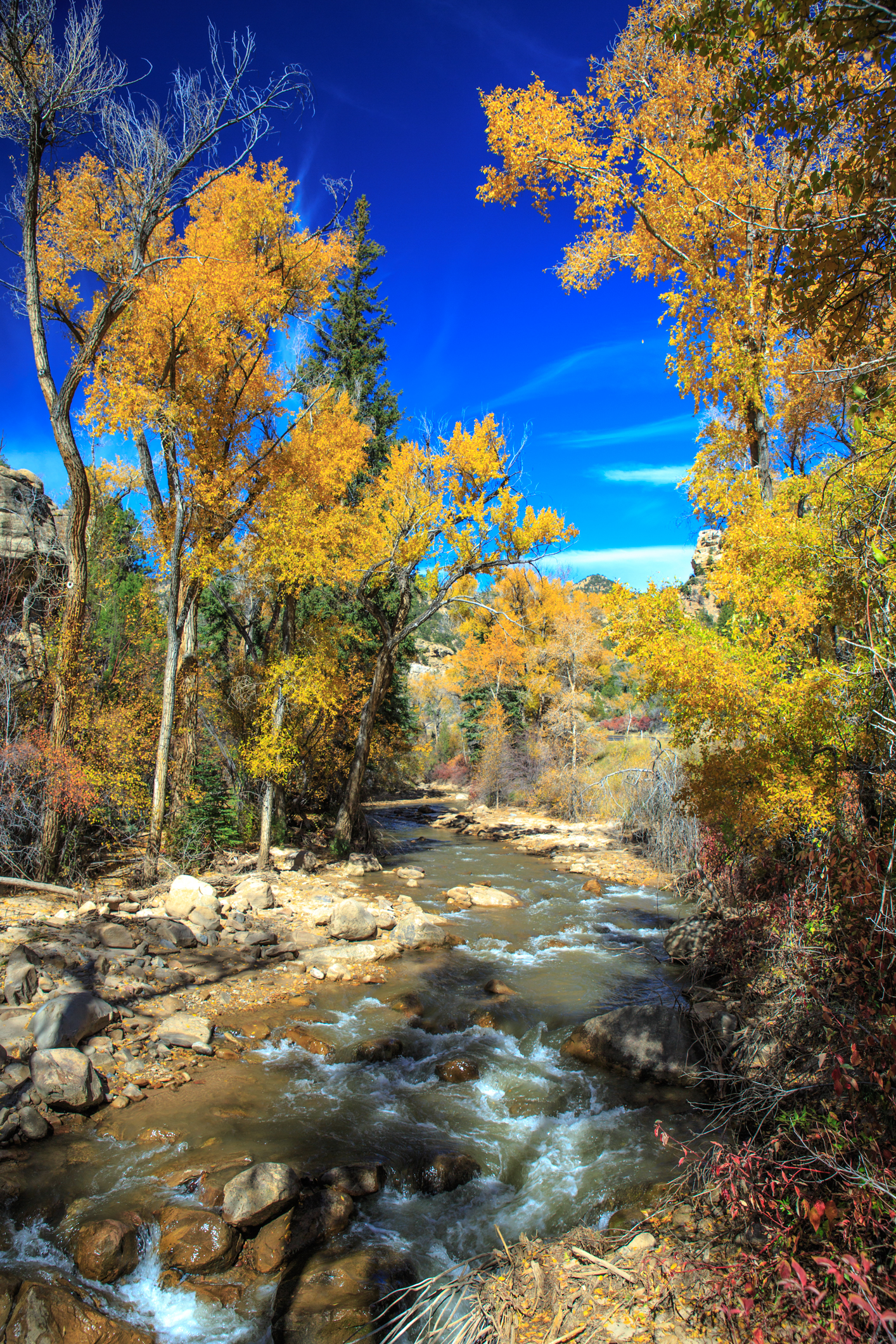 Huntington CreekCanoeing · ~1h 9m drivePhoto: Murray Foubister, CC BY-SA 2.0 (via Wikimedia Commons)
- Personal Watercraft Put-InBoat launch · ~48 min drive
 Otter CreekCanoeing · ~1h 22m drivePhoto: Murray Foubister, CC BY-SA 2.0 (via Wikimedia Commons)
- Personal Watercraft Put-InBoat launch · ~48 min drive
- Ivie CreekCanoeing · ~20 min drive
- Forsyth Reservoir Boat Ramp Rec SiteBoat launch · ~48 min drive
Also worth it near here
- Twin PondsLake fishing · ~13 min drive
 Moore Cutoff RoadRock climbing · ~19 min drivePhoto: inkknife_2000 (7.5 million views +), CC BY-SA 2.0 (via Wikimedia Commons)
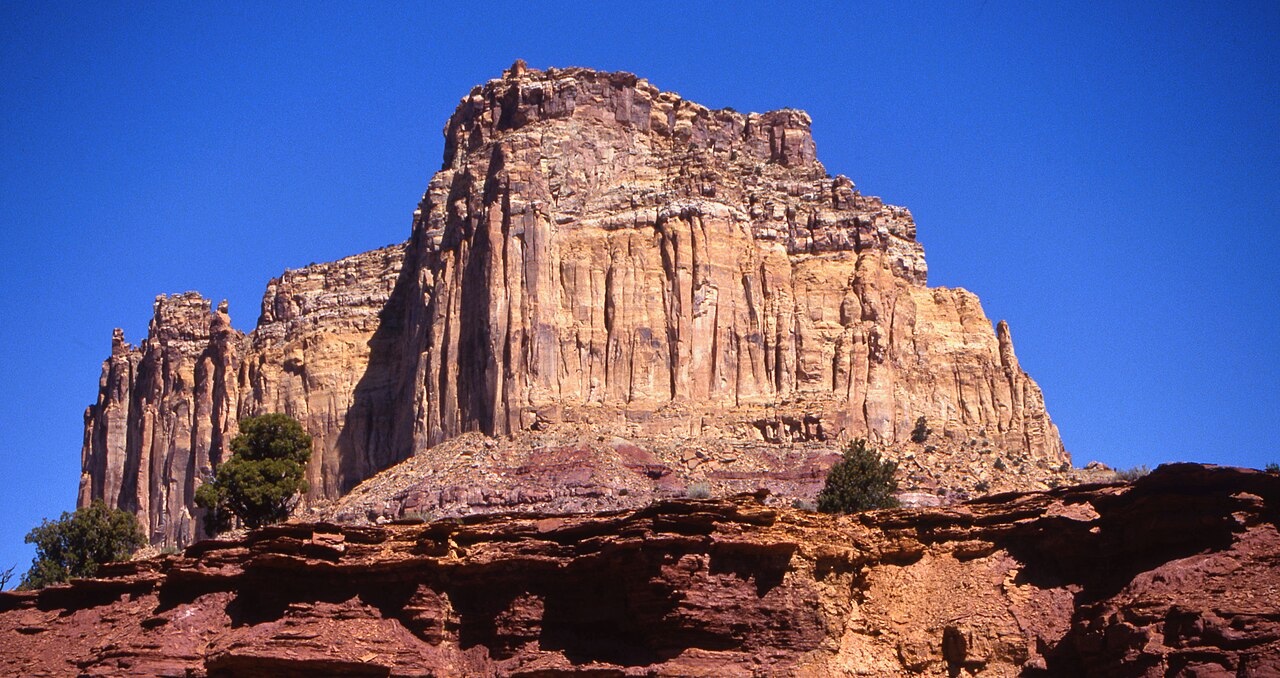 Square TopSummit · ~19 min drivePhoto: Bureau of Land Management - Utah, Public domain (via Wikimedia Commons)
 Ding and Dang Connector TrailHiking · ~31 min drivePhoto: Greg Willis from Denver, CO, usa, CC BY-SA 2.0 (via Wikimedia Commons)
Best time to visit Muddy Creek
Best months: May–October. Best months have typical highs of 55–85 °F, lows of 30 °F or warmer (32 °F where the station doesn't record snow), at most one snowy day and no more than 12 wet days.
Jan
33° / 16°
8 wet
Feb
35° / 18°
8 wet
Mar
43° / 24°
8 wet
Apr
50° / 29°
8 wet
May
61° / 37°
7 wet
Jun
73° / 45°
5 wet
Jul
80° / 53°
7 wet
Aug
77° / 51°
9 wet
Sep
69° / 43°
8 wet
Oct
55° / 33°
7 wet
Nov
41° / 22°
6 wet
Dec
32° / 15°
7 wet
Typical high / low (°F) and days with rain or snow, 1991–2020. Measured at Salina 24 E, UT, 19.6 mi away at 7,560 ft. This station doesn't record snowfall. Source: NOAA NCEI U.S. Climate Normals 1991–2020.
