San Rafael River
 Photo: G. Thomas at English Wikipedia, Public domain (via Wikimedia Commons)
- 5.8 mi
- distance
- 5,344 ft
- high point
- Apr–Jun, Sep–Oct
- best months
The San Rafael River runs through the Price Field Office of the Bureau of Land Management in Utah, within the Mexican Mountain Wilderness. It is a paddling route, and its location inside designated wilderness makes it a natural choice for paddlers looking to explore this remote corner of southern Utah. The most comfortable months for a trip are late spring and early fall. Typical averages from the nearby Castle Dale weather station show May highs around 75°F and September highs around 81°F, while July averages about 91°F. Winters are cold, with January highs near 40°F and lows around 10°F. Several trails start close by. Sids Leap Trail is about 0.8 miles away, and Mexican Mountain Trail is about 1 mile away. Spring Canyon Trail and Lower Black Box Trail are both within about 3 miles.
Local outfitters
- Desert Moon Hotel & RV Park42 mi away
Not on Roamze yet. Their page has how to reach them.
 Sids Leap TrailHikingPhoto: inkknife_2000 (7.5 million views +), CC BY-SA 2.0 (via Wikimedia Commons)0.8 mi
- Mexican Mountain TrailHiking1 mi
- Spring Canyon TrailHiking2.7 mi
- Lower Black Box TrailHikingPhoto: inkknife_2000 (7.5 million views +), CC BY-SA 2.0 (via Wikimedia Commons)2.8 mi
 Smith CabinRock climbingPhoto: inkknife_2000 (7.5 million views +), CC BY-SA 2.0 (via Wikimedia Commons)5.5 mi
- Mexican Mountain Road AreaRock climbing6.2 mi
 E Crags (DBC Canyon)Rock climbingPhoto: inkknife_2000 (7.5 million views +), CC BY-SA 2.0 (via Wikimedia Commons)7.6 mi
- N CragsRock climbing8.4 mi
Source: Roamze catalog (indexable pages within 10 miles, PostGIS distance)
 Cottonwood CreekCanoeing · ~55 min drivePhoto: Clyde Charles Brown, CC BY-SA 4.0 (via Wikimedia Commons)
- Personal Watercraft Take-outBoat launch · ~18 min drive
- Mineral Bottom Recreation SiteFloat trip · ~1h 13m drive
 Muddy CreekCanoeing · ~1h 3m drivePhoto: Doc Searls from Santa Barbara, USA, CC BY 2.0 (via Wikimedia Commons)
- Personal Watercraft Take-outBoat launch · ~19 min drive
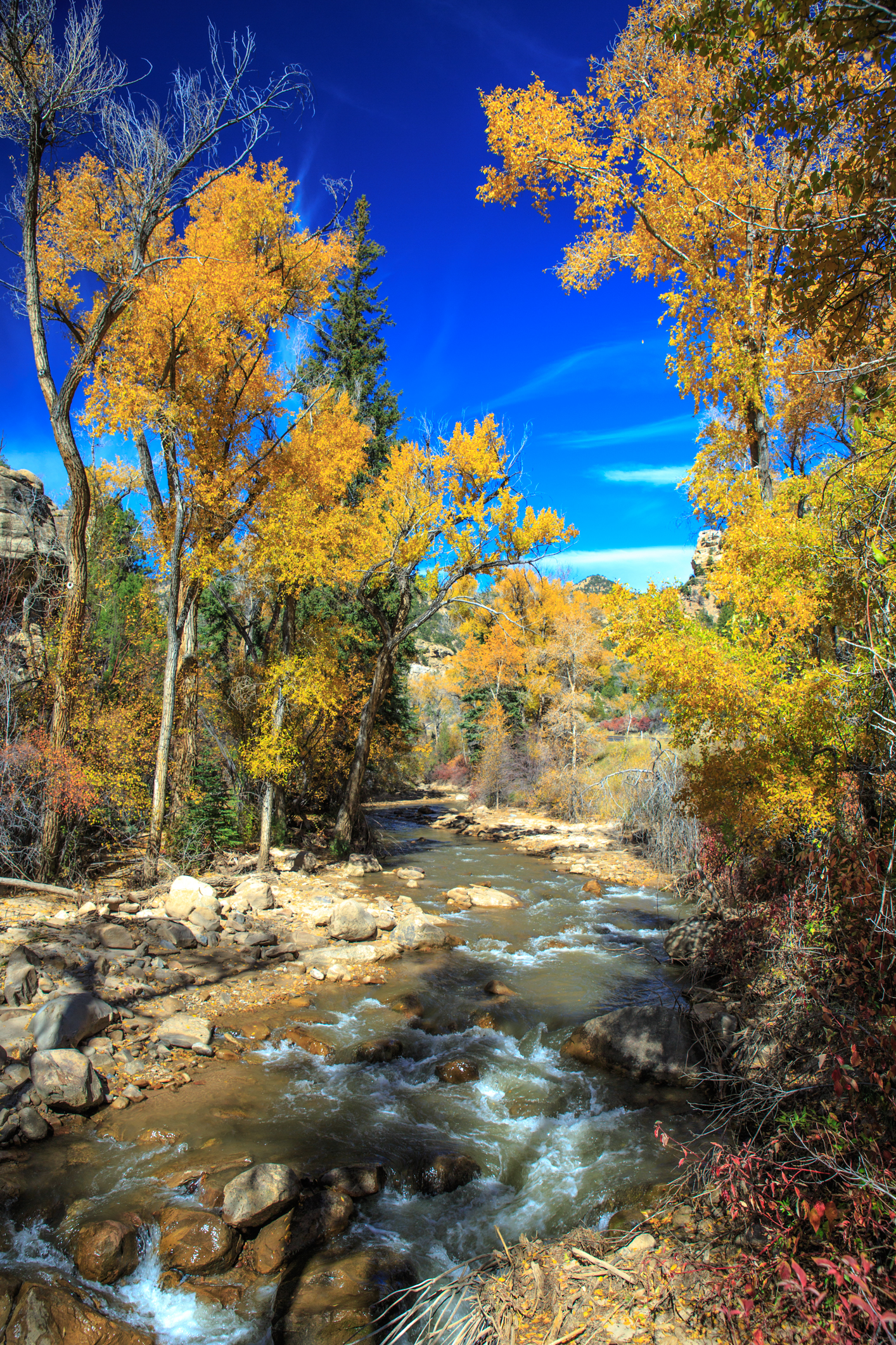 Huntington CreekCanoeing · ~1h 3m drivePhoto: Murray Foubister, CC BY-SA 2.0 (via Wikimedia Commons)
- Personal Watercraft Put-InBoat launch · ~36 min drive
- Ferron CreekCanoeing · ~1h 1m drive
- Personal Watercraft Put-InBoat launch · ~36 min drive
- Ivie CreekCanoeing · ~1h 20m drive
Also worth it near here
- Lower Black Box TrailHiking · ~5 min drivePhoto: inkknife_2000 (7.5 million views +), CC BY-SA 2.0 (via Wikimedia Commons)
- E Crags (DBC Canyon)Rock climbing · ~13 min drivePhoto: inkknife_2000 (7.5 million views +), CC BY-SA 2.0 (via Wikimedia Commons)
 Window Blind PeakSummit · ~16 min drivePhoto: Bureau of Land Management - Utah, Public domain (via Wikimedia Commons)
- Sids ReservoirLake fishing · ~16 min drive
Best time to visit San Rafael River
Best months: April–June and September–October. Best months have typical highs of 55–85 °F, lows of 30 °F or warmer (32 °F where the station doesn't record snow), at most one snowy day and no more than 12 wet days.
Jan
40° / 10°
5 wet · 2 snow
Feb
47° / 16°
4 wet · 2 snow
Mar
58° / 25°
4 wet · 1 snow
Apr
66° / 31°
4 wet
May
75° / 40°
5 wet
Jun
85° / 47°
4 wet
Jul
91° / 54°
5 wet
Aug
89° / 52°
7 wet
Sep
81° / 43°
6 wet
Oct
68° / 32°
5 wet
Nov
53° / 20°
4 wet · 1 snow
Dec
41° / 11°
4 wet · 2 snow
Typical high / low (°F) and days with rain or snow, 1991–2020. Measured at Castle Dale, UT, 31.3 mi away at 5,629 ft. Source: NOAA NCEI U.S. Climate Normals 1991–2020.
