Hebe Canyon Trail
- 0.3 mi
- round trip
- 81 ft
- climb
- 5,671 ft
- high point
- Out and back
- route
- Apr–May, Sep–Oct
- best months
Hebe Canyon Trail is a short, easy out-and-back hike in Utah's Price Field Office, managed by the Bureau of Land Management. The route is about half a mile long and climbs roughly 80 feet from the trailhead to a high point of about 5,670 feet, with the steepest stretch around the 0.2-mile mark. It is an easy, low-commitment outing for a quick stretch of time in the area. For comfortable weather, aim for late spring or early fall. Typical averages from a nearby weather station run about 76°F highs in May and 84°F in September, while July highs reach about 95°F. That station sits roughly 700 feet lower than the trail, so temperatures on the canyon may run slightly cooler. Reds Canyon, a climbing area about 1.4 miles away, and Upper Muddy Creek, a climbing area about 3.8 miles away, are the closest options for a longer outing. Justensen Flat-Kimball West Trail, about 5.9 miles away, and Muddy Creek, a paddling spot about 7.9 miles away, round out the nearby choices.
Local outfitters
- Muddy Creek Mining Co.29 mi away
- Sand Creek RV Park & Campground39 mi away
Not on Roamze yet. Their page has how to reach them.
- Reds CanyonRock climbing1.4 mi
- Upper Muddy CreekRock climbing3.8 mi
- Justensen Flat-Kimball West TrailHiking5.9 mi
 Muddy CreekCanoeingPhoto: Doc Searls from Santa Barbara, USA, CC BY 2.0 (via Wikimedia Commons)7.9 mi
- Upper Eagle Canyon TrailHiking9 mi
- Chimney Canyon TrailHiking9.1 mi
- Moore-Moore Int. TrailHiking9.2 mi
- Baptist Draw TrailHiking9.3 mi
Source: Roamze catalog (indexable pages within 10 miles, PostGIS distance)
 Ding and Dang Connector TrailHiking · ~20 min drivePhoto: Greg Willis from Denver, CO, usa, CC BY-SA 2.0 (via Wikimedia Commons)
 Ding Canyon TrailHiking · ~22 min drivePhoto: Greg Willis from Denver, CO, usa, CC BY-SA 2.0 (via Wikimedia Commons)
 Little Wild Horse Canyon TrailHiking · ~23 min drivePhoto: gregw66, CC BY-SA 2.0 (via Wikimedia Commons)
- Little Wild Horse & Bell Canyon TrailHiking · ~23 min drivePhoto: gregw66, CC BY-SA 2.0 (via Wikimedia Commons)
 Swaseys Cabin-Rods Valle TrailHiking · ~23 min drivePhoto: Greg Willis from Denver, CO, usa, CC BY-SA 2.0 (via Wikimedia Commons)
- (Lower) Chute Canyon TrailHiking · ~23 min drive
 Waterfall TrailHiking · ~21 min drivePhoto: Greg Willis from Denver, CO, usa, CC BY-SA 2.0 (via Wikimedia Commons)
 Eagle Canyon TrailHiking · ~17 min drivePhoto: Scott Thompson, CC BY 3.0 (via Wikimedia Commons)
 Fix It Pass TrailHiking · ~27 min drivePhoto: inkknife_2000 (7.5 million views +), CC BY-SA 2.0 (via Wikimedia Commons)
- Muddy Creek Gorge TrailHiking · ~25 min drive
Also worth it near here
- Chute of Muddy LaunchBoat launch · ~7 min drive
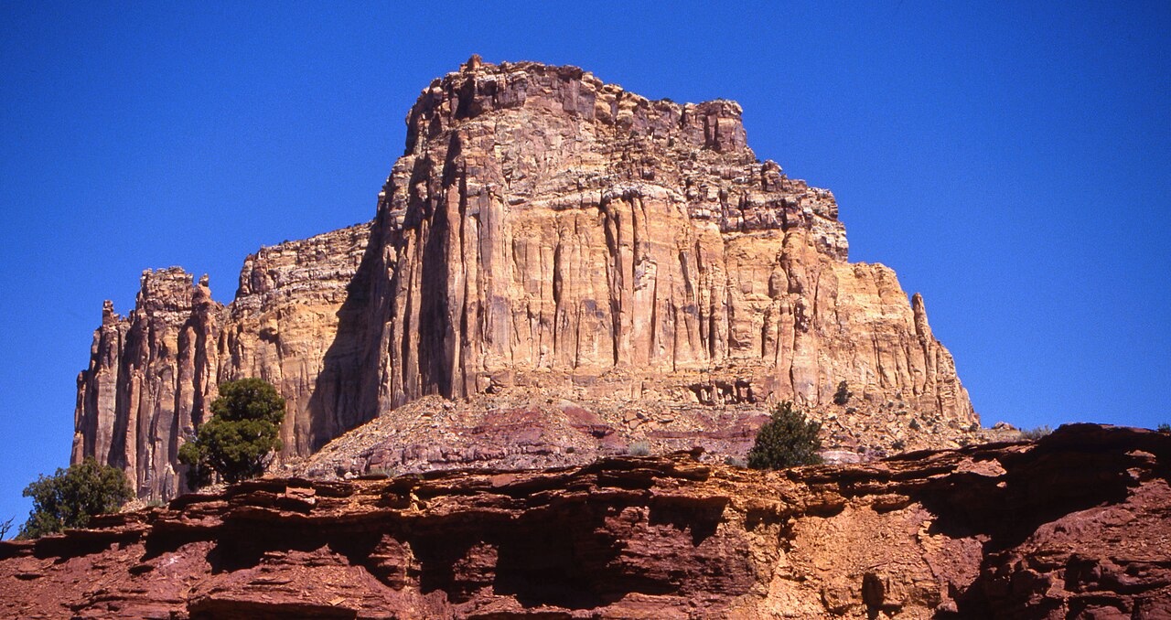 Square TopSummit · ~8 min drivePhoto: Bureau of Land Management - Utah, Public domain (via Wikimedia Commons)
- Muddy CreekCanoeing · ~13 min drivePhoto: Doc Searls from Santa Barbara, USA, CC BY 2.0 (via Wikimedia Commons)
 SwaseylandRock climbing · ~18 min drivePhoto: hakkun, CC BY-SA 3.0 (via Wikimedia Commons)
Best time to visit Hebe Canyon Trail
Best months: April–May and September–October. Best months have typical highs of 55–85 °F, lows of 30 °F or warmer (32 °F where the station doesn't record snow), at most one snowy day and no more than 12 wet days.
Jan
41° / 17°
Feb
47° / 23°
Mar
59° / 30°
Apr
66° / 37°
May
76° / 47°
Jun
89° / 55°
Jul
95° / 63°
Aug
92° / 61°
Sep
84° / 50°
Oct
68° / 39°
Nov
53° / 26°
Dec
41° / 18°
Typical high / low (°F) and days with rain or snow, 1991–2020. Measured at Goblin Valley Sp, UT, 17.7 mi away at 4,960 ft. The station sits about 700 ft lower than this place, so expect it a little cooler here. This station doesn't record snowfall. Source: NOAA NCEI U.S. Climate Normals 1991–2020.
Map and trail data © OpenStreetMap contributors
