Upper Muddy Creek
Upper Muddy Creek in Utah has 13 climbing routes across 10 difficulty grades, featuring mixed, sport, and trad styles.
- 13 routes
- 5.6 – 5.11a
- Trad · Sport · Mixed
Best time to visit Upper Muddy Creek
Best months: April–May and September–October. Best months have typical highs of 55–85 °F, lows of 30 °F or warmer (32 °F where the station doesn't record snow), at most one snowy day and no more than 12 wet days.
Jan
41° / 17°
Feb
47° / 23°
Mar
59° / 30°
Apr
66° / 37°
May
76° / 47°
Jun
89° / 55°
Jul
95° / 63°
Aug
92° / 61°
Sep
84° / 50°
Oct
68° / 39°
Nov
53° / 26°
Dec
41° / 18°
Typical high / low (°F) and days with rain or snow, 1991–2020. Measured at Goblin Valley Sp, UT, 17.6 mi away at 4,960 ft. This station doesn't record snowfall. Source: NOAA NCEI U.S. Climate Normals 1991–2020.
Upper Muddy Creek is a climbing area on Bureau of Land Management land in the Price Field Office of Utah, managed by the BLM. It sits among the canyons and trails of southern Utah, with several climbing and hiking destinations within a short drive. The area has 13 routes, with a mix of trad and sport styles and a grade range from 5.6 to 5.11-. Trad is the dominant style, with nine trad routes and three sport routes. A few of the named routes include Windy Cheeks at 5.6 and Midnight Intruder at 5.11-, both of which are trad. The most comfortable months to climb are typically late spring and early fall, when typical averages from a nearby weather station at Goblin Valley State Park run from highs around 76°F in May to about 84°F in September. Midsummer is hot, with July highs averaging 95°F. Reds Canyon is the closest climbing area, about 2.6 miles away. Hebe Canyon Trail, Chimney Canyon Trail and Sedgers Hole Trail are hikes within about 8 miles.
Routes (13)
Keep exploring — more climbs worth the drive
 Photo: hakkun, CC BY-SA 3.0 (via Wikimedia Commons)
Swaseyland
~24 min drive
Swaseyland in Utah has 7 traditional climbing routes across 5 grades.
 Photo: inkknife_2000 (7.5 million views +), CC BY-SA 2.0 (via Wikimedia Commons)
Moore Cutoff Road
~26 min drive
Moore Cutoff Road in Utah has 3 trad climbing routes on 2 difficulty grades.
 Photo: Ken Lund, CC BY-SA 2.0 (via Wikimedia Commons)
San Rafael Swell - South
~28 min drive
San Rafael Swell - South has 31 climbing routes with bouldering pads, mixed, and trad styles.
 Photo: Greg Willis from Denver, CO, usa, CC BY-SA 2.0 (via Wikimedia Commons)
Head of Sinbad North
~32 min drive
Head of Sinbad North is a Utah climbing area with 5 routes on 4 difficulty grades.
 Photo: The Greater Southwestern Exploration Company from Claremont, California, United States, CC BY 2.0 (via Wikimedia Commons)
Giles Townsite Boulders
~40 min drive
5 bouldering routes in Utah spanning 4 difficulty grades.
 Photo: Famartin, CC BY-SA 4.0 (via Wikimedia Commons)
The Weasel Formation
~42 min drive
Weasel Formation, The in Utah has 10 routes across 4 grades, offering trad climbing.
 Photo: Famartin, CC BY-SA 4.0 (via Wikimedia Commons)
Eagle Canyon
~48 min drive
Eagle Canyon in Utah offers 8 traditional climbing routes across 5 difficulty grades.
 Photo: Kent G. Budge, CC0 (via Wikimedia Commons)
Viewfinder Towers
~52 min drive
Viewfinder Towers in Utah has 13 climbing routes across 7 grades, offering mixed, sport, and trad styles.
Photo: Kent G. Budge, CC0 (via Wikimedia Commons)Family Butte
~52 min drive
Family Butte in Utah has 7 trad climbing routes across 4 difficulty grades.
Photo: Kent G. Budge, CC0 (via Wikimedia Commons)R Crags (Two Finger Canyon)
~53 min drive
R Crags (Two Finger Canyon) in Utah has 29 climbing routes across 12 grades.
Also worth it near here
Chute of Muddy Launch
~1 min drive
 Photo: Doc Searls from Santa Barbara, USA, CC BY 2.0 (via Wikimedia Commons)
Muddy Creek
~13 min drive
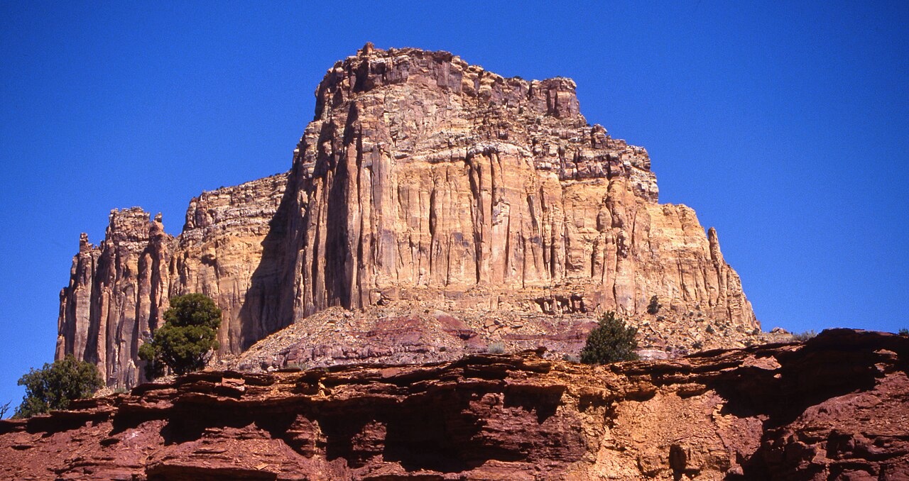 Photo: Bureau of Land Management - Utah, Public domain (via Wikimedia Commons)
Square Top
~14 min drive
 Photo: Greg Willis from Denver, CO, usa, CC BY-SA 2.0 (via Wikimedia Commons)
Ding and Dang Connector Trail
~18 min drive
