Trail 1433
- 0.1 mi
- distance
- 29 ft
- climb
- May–Jun, Sep–Oct
- best months
Is Trail 1433 open right now?
Alert in the area
The Forest Service lists 2 alerts for Fishlake National Forest.
PST 66 Rock Canyon Trail Temporarily Closed
Agency alert covering Fishlake National Forest · USFS · Fishlake National Forest
TERMINATION OF STAGE 1 FIRE RESTRICTION ORDER
Agency alert covering Fishlake National Forest · Order 0408-26-10 · USFS · Fishlake National Forest
As of · Source: USFS · Fishlake National Forest. Agencies don't list every closure — check before you go.
Trail 1433 is a short mountain biking route in the Fillmore Ranger District of Fishlake National Forest in Utah. The Forest Service manages the land. The route covers just over 0.1 mile, with a total climb of 29 feet from a low point of 5,499 feet to a high of 5,542 feet. Spring and fall are the most comfortable times to ride. Typical averages from a nearby weather station in Fillmore show May highs around 72°F and October highs around 64°F, while July peaks near 88°F and winter brings frequent snow days. The Chalk Creek hike lies about 0.4 mile away. Tr 327, another mountain biking route, is about a mile off. White Sage Flat - Shinglemill and Trail 1440 are both within about 1.6 miles.
Local outfitters
- Big Rock Candy Mountain30 mi away
- Big Rock Adventure30 mi away
Not on Roamze yet. Their page has how to reach them.
- CHALK CREEKHiking0.4 mi
- Tr 327Mountain biking1 mi
- White Sage Flat - ShinglemillHiking1.6 mi
- North Fork Chalk CreekHiking1.6 mi
- Trail 1440Mountain biking1.6 mi
- Shingle MillHiking1.8 mi
- Meadow Rappel RockRock climbing5.2 mi
- Fishlake National ForestRock climbing5.2 mi
Source: Roamze catalog (indexable pages within 10 miles, PostGIS distance)
 PharoMountain biking · ~17 min drivePhoto: QKC, CC BY-SA 3.0 (via Wikimedia Commons)
- Pole Creek TrailMountain biking · ~45 min drive
- North Maple GroveMountain biking · ~18 min drivePhoto: QKC, CC BY-SA 3.0 (via Wikimedia Commons)
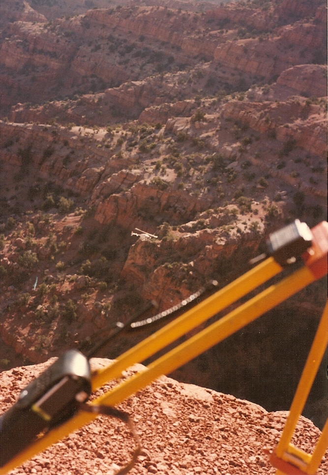 Crazy HollowMountain biking · ~21 min drivePhoto: Lorne Kelly, CC BY-SA 3.0 (via Wikimedia Commons)
- Pharo-Willow Creek Peak SpurMountain biking · ~14 min drivePhoto: QKC, CC BY-SA 3.0 (via Wikimedia Commons)
- Trail 1440Mountain biking · ~3 min drive
- Copleys CanyonMountain biking · ~4 min drive
- White Sage Flat - ShinglemillMountain biking · ~4 min drive
- Shingle MillMountain biking · ~6 min drive
- Dry CreekMountain biking · ~7 min drive
Best time to visit Trail 1433
Best months: May–June and September–October. Best months have typical highs of 55–85 °F, lows of 30 °F or warmer (32 °F where the station doesn't record snow), at most one snowy day and no more than 12 wet days.
Jan
38° / 21°
7 wet · 5 snow
Feb
45° / 25°
8 wet · 5 snow
Mar
55° / 32°
8 wet · 4 snow
Apr
62° / 37°
8 wet · 3 snow
May
72° / 45°
7 wet
Jun
82° / 53°
4 wet
Jul
88° / 60°
4 wet
Aug
86° / 60°
5 wet
Sep
78° / 51°
5 wet
Oct
64° / 39°
5 wet · 1 snow
Nov
50° / 29°
6 wet · 3 snow
Dec
38° / 21°
7 wet · 5 snow
Typical high / low (°F) and days with rain or snow, 1991–2020. Measured at Fillmore, UT, 3.1 mi away at 5,127 ft. Source: NOAA NCEI U.S. Climate Normals 1991–2020.

Map and trail data © OpenStreetMap contributors
