Pharo
 Photo: QKC, CC BY-SA 3.0 (via Wikimedia Commons)
- 3.7 mi
- distance
- 2,769 ft
- climb
Is Pharo open right now?
Alert in the area
The Forest Service lists 2 alerts for Fishlake National Forest.
PST 66 Rock Canyon Trail Temporarily Closed
Agency alert covering Fishlake National Forest · USFS · Fishlake National Forest
TERMINATION OF STAGE 1 FIRE RESTRICTION ORDER
Agency alert covering Fishlake National Forest · Order 0408-26-10 · USFS · Fishlake National Forest
As of · Source: USFS · Fishlake National Forest. Agencies don't list every closure — check before you go.
Pharo is a mountain biking route in the Fillmore Ranger District of Fishlake National Forest in southern Utah. The Forest Service manages the land, and the ride covers about 3.7 miles with a total elevation gain of 2,769 feet, climbing from a low point of 6,711 feet to a high point of 9,490 feet. Several trails and places sit close by. The Pharo-Willow Creek Peak Spur is less than a mile away, and the Rock Canyon/Cedar Spr Spur is about a mile out. The Rock Canyon mountain biking route is roughly 1.3 miles away, and the Maple Grove campground is about 1.4 miles from the route.
Local outfitters
- Big Rock Candy Mountain34 mi away
- Big Rock Adventure34 mi away
Not on Roamze yet. Their page has how to reach them.
- PHARO-WILLOW CREEK PEAK SPURHiking0.8 mi
- ROCK CANYON/CEDAR SPR SPURHiking1 mi
- Paiute (D-1)Hiking1.2 mi
- Rock CanyonMountain biking1.3 mi
- Maple Grove - Rec SiteCamping1.4 mi
- Maple GroveCamping1.4 mi
- North Maple GroveHiking2.1 mi
 Pack TrailHikingPhoto: Ken Lund from Reno, Nevada, USA, CC BY-SA 2.0 (via Wikimedia Commons)2.2 mi
Source: Roamze catalog (indexable pages within 10 miles, PostGIS distance)
- North Maple GroveMountain biking · ~4 min drivePhoto: QKC, CC BY-SA 3.0 (via Wikimedia Commons)
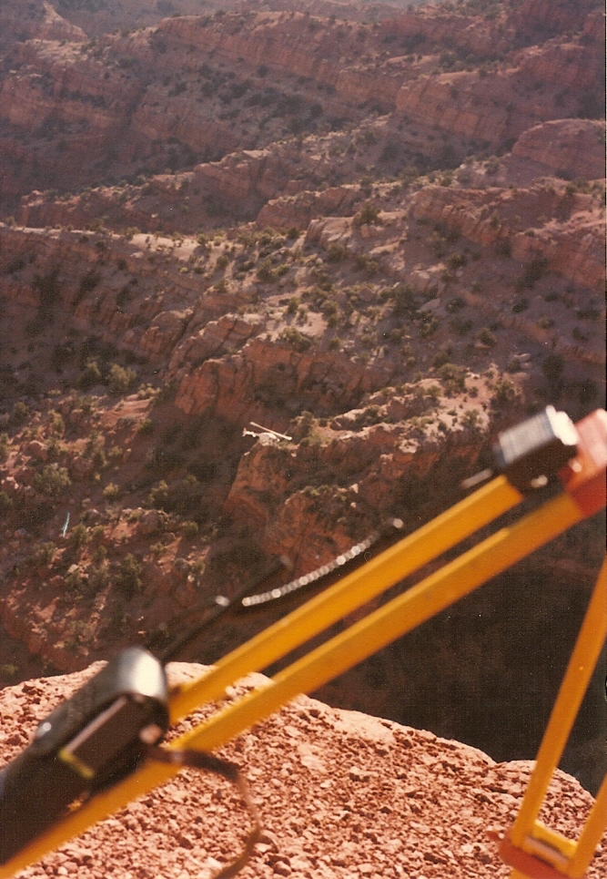 Crazy HollowMountain biking · ~31 min drivePhoto: Lorne Kelly, CC BY-SA 3.0 (via Wikimedia Commons)
- Pharo-Willow Creek Peak SpurMountain biking · ~3 min drivePhoto: QKC, CC BY-SA 3.0 (via Wikimedia Commons)
- Rock CanyonMountain biking · ~2 min drive
- Rock Canyon/cedar Spr SpurMountain biking · ~3 min drive
- Teeples RidgeMountain biking · ~5 min drive
- Eagle Hollow SpurMountain biking · ~5 min drive
- TeeplesMountain biking · ~8 min drive
- Cedar SpringsMountain biking · ~12 min drive
- CottonwoodMountain biking · ~12 min drive
Map and trail data © OpenStreetMap contributors
