White Sage Flat - Shinglemill
- 2.2 mi
- distance
- 2,419 ft
- climb
Is White Sage Flat - Shinglemill open right now?
Alert in the area
The Forest Service lists 2 alerts for Fishlake National Forest.
PST 66 Rock Canyon Trail Temporarily Closed
Agency alert covering Fishlake National Forest · USFS · Fishlake National Forest
TERMINATION OF STAGE 1 FIRE RESTRICTION ORDER
Agency alert covering Fishlake National Forest · Order 0408-26-10 · USFS · Fishlake National Forest
As of · Source: USFS · Fishlake National Forest. Agencies don't list every closure — check before you go.
White Sage Flat - Shinglemill is a mountain biking route in Utah's Fishlake National Forest, within the Fillmore Ranger District. The Forest Service manages the land, and the route rises from about 6,659 feet to about 9,078 feet over a distance of about 2.2 miles, with a total elevation gain of 2,419 feet. The climb is a significant one, and the route's high point sits well above the starting point. The Shingle Mill hike lies about a mile away, and North Fork Chalk Creek and Copleys Canyon are each within about a mile and a half, so riders can pair this ride with a walk or another trail in the area.
Local outfitters
- Big Rock Candy Mountain30 mi away
- Big Rock Adventure30 mi away
Not on Roamze yet. Their page has how to reach them.
- Shingle MillHiking0.9 mi
- North Fork Chalk CreekHiking1 mi
- Copleys CanyonHiking1.3 mi
- Black Cedar/north Fork SpurHiking1.5 mi
- Fishlake National ForestRock climbing6.5 mi
- Meadow Rappel RockRock climbing6.5 mi
- Maple GroveRock climbing8.5 mi
- Maple Grove - Rec SiteCamping8.5 mi
Source: Roamze catalog (indexable pages within 10 miles, PostGIS distance)
 PharoMountain biking · ~13 min drivePhoto: QKC, CC BY-SA 3.0 (via Wikimedia Commons)
- Pole Creek TrailMountain biking · ~46 min drive
- North Maple GroveMountain biking · ~15 min drivePhoto: QKC, CC BY-SA 3.0 (via Wikimedia Commons)
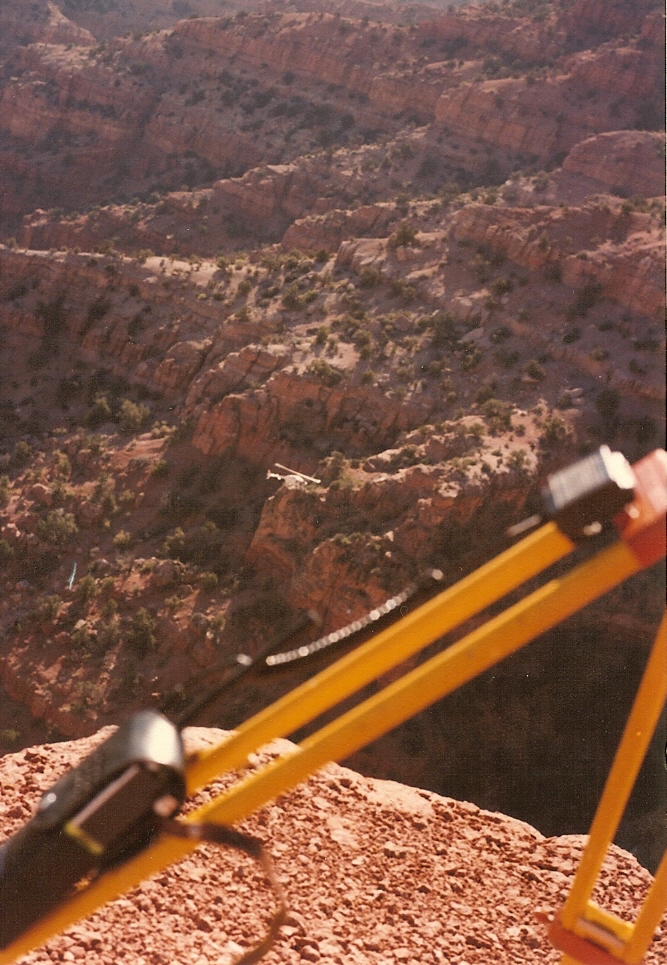 Crazy HollowMountain biking · ~21 min drivePhoto: Lorne Kelly, CC BY-SA 3.0 (via Wikimedia Commons)
- Pharo-Willow Creek Peak SpurMountain biking · ~10 min drivePhoto: QKC, CC BY-SA 3.0 (via Wikimedia Commons)
- Shingle MillMountain biking · ~2 min drive
- Copleys CanyonMountain biking · ~3 min drive
- Trail 1440Mountain biking · ~4 min drive
- Cedar SpringsMountain biking · ~4 min drive
- Trail 1433Mountain biking · ~4 min drive

Map and trail data © OpenStreetMap contributors
