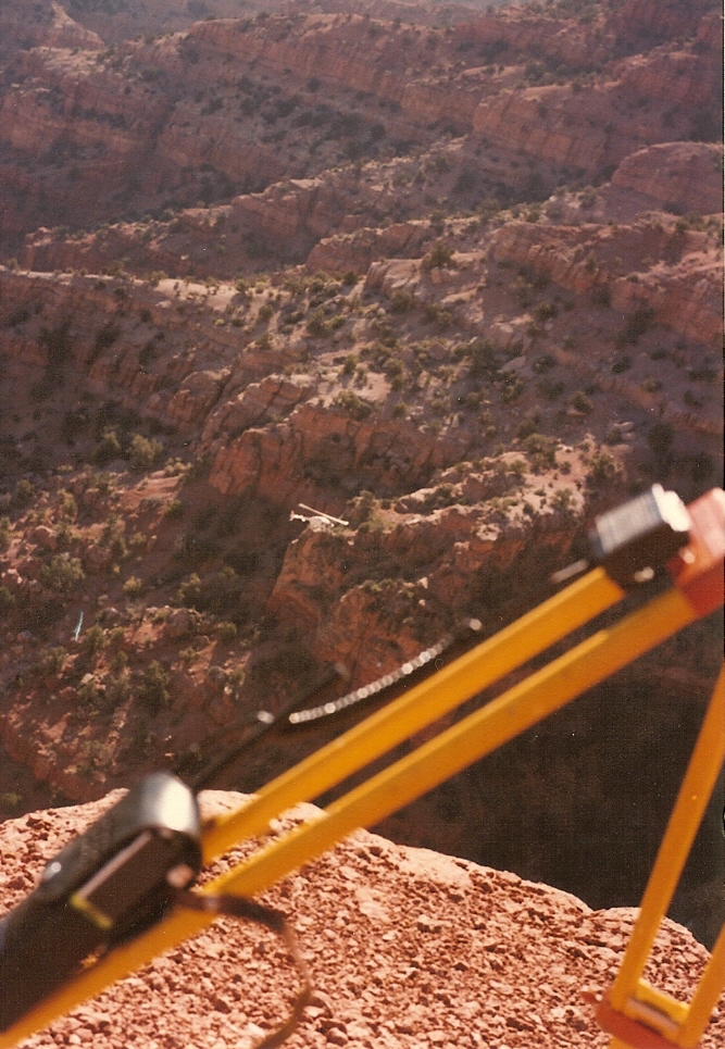
Fishlake National Forest
Fishlake National Forest in Utah has 4 climbing routes with mixed and traditional styles.
- 4 routes
- 5.6 – 5.10a
- Mixed · Trad
Is Fishlake National Forest open right now?
Alert in the area
The Forest Service lists an alert for Fishlake National Forest.
TERMINATION OF STAGE 1 FIRE RESTRICTION ORDER
Agency alert covering Fishlake National Forest · Order 0408-26-10 · USFS · Fishlake National Forest
As of · Source: USFS · Fishlake National Forest. Agencies don't list every closure — check before you go.
Best time to visit Fishlake National Forest
Best months: May–June and September–October. Best months have typical highs of 55–85 °F, lows of 30 °F or warmer (32 °F where the station doesn't record snow), at most one snowy day and no more than 12 wet days.
Jan
38° / 21°
7 wet · 5 snow
Feb
45° / 25°
8 wet · 5 snow
Mar
55° / 32°
8 wet · 4 snow
Apr
62° / 37°
8 wet · 3 snow
May
72° / 45°
7 wet
Jun
82° / 53°
4 wet
Jul
88° / 60°
4 wet
Aug
86° / 60°
5 wet
Sep
78° / 51°
5 wet
Oct
64° / 39°
5 wet · 1 snow
Nov
50° / 29°
6 wet · 3 snow
Dec
38° / 21°
7 wet · 5 snow
Typical high / low (°F) and days with rain or snow, 1991–2020. Measured at Fillmore, UT, 5.6 mi away at 5,127 ft. The station sits about 1,400 ft lower than this place, so expect it a little cooler here. Source: NOAA NCEI U.S. Climate Normals 1991–2020.
Fishlake National Forest is a climbing area in Utah's Fishlake National Forest, within the Fillmore Ranger District. The Forest Service manages the land, and the area sits close to the town of Fillmore. It's a compact cluster of crags, with four climbing routes within a short distance of each other and Meadow Rappel Rock just 0.1 mile away. The climbing here is a mix of trad and mixed routes, with grades ranging from 5.6 to 5.10a. The Chimney is the only trad route at 5.6, while Practice Crack and its Scared Brother Variation are mixed at 5.8-, and Excavation is the hardest at 5.10a. Spring and fall are the most comfortable times to go. Typical averages from the nearby Fillmore weather station run from highs around 72°F in May to 78°F in September, with winter highs near 38°F and regular snow days from December through February. That station sits about 1,400 feet lower than the crags, so temperatures up high run cooler. Meadow Creek and Walker Canyon are short hikes within about 2 miles, and Adelaide Campground is about 9 miles away. For riding, Trail 1442 is a mountain bike route roughly 2.4 miles off.
Routes (4)
Keep exploring — more climbs worth the drive
 Photo: The Dye Clan, CC BY-SA 3.0 (via Wikimedia Commons)
Monroe Canyon: North Side
~39 min drive
Monroe Canyon: North Side in Utah has 3 sport climbing routes.
Photo: The Dye Clan, CC BY-SA 3.0 (via Wikimedia Commons)The Narrows
~39 min drive
The Narrows in Utah has one 5.11c sport climbing route.
Meadow Rappel Rock
~0 min drive
Meadow Rappel Rock is a Utah climbing area with 6 sport routes.
Maple Grove
~26 min drive
Maple Grove in Utah has 16 sport climbing routes across 8 difficulty grades.
Richfield
~26 min drive
Richfield in Utah has 5 climbing routes with bouldering, mixed, and sport styles.
Nuwuvi Ledge
~41 min drive
Nuwuvi Ledge in Utah has 6 mixed climbing routes.
Toddler Wall
~50 min drive
Toddler Wall is a Utah climbing crag with 5 sport routes.
Redmond Rocks
~51 min drive
Redmond Rocks in Utah has 7 sport climbing routes across 5 difficulty grades.
Cyclops Wall
~52 min drive
Cyclops Wall in Utah has 5 sport climbing routes on 4 difficulty grades.
Tall Tales Wall
~52 min drive
Tall Tales Wall in Utah has 6 sport climbing routes on 3 difficulty grades.