Wire Pass Trail
 Photo: John Fowler from Placitas, NM, USA, CC BY 2.0 (via Wikimedia Commons)
- 1.7 mi
- round trip
- 233 ft
- climb
- 4,872 ft
- high point
- Out and back
- route
- Mar–May, Oct
- best months
Wire Pass Trail is a short, easy out-and-back hike in Utah's Paria Canyon-Vermilion Cliffs Wilderness, on land managed by the Bureau of Land Management's Kanab Field Office. The trail is 3.4 miles long, with a total elevation gain of 233 feet, and it starts and ends at about 4,670 feet, rising to a high point of 4,872 feet. Spring and fall are the most comfortable times to go. Typical averages from a nearby weather station show May highs around 79°F and October highs around 72°F, while July averages climb to about 96°F. The trail sits right beside the Buckskin Gulch Trail and the Upper Buckskin Gulch Trail, both about 0.1 mile away. The Trail To Double Arch is about half a mile off, and Stateline Campground is about 2.2 miles away.
Local outfitters
- Kanab Tour Company28 mi away
- Kanab RV Corral29 mi away
Not on Roamze yet. Their page has how to reach them.
- Upper Buckskin Gulch TrailHikingPhoto: John Fowler from Placitas, NM, USA, CC BY 2.0 (via Wikimedia Commons)0.1 mi
 Buckskin Gulch TrailHikingPhoto: John Fowler from Placitas, NM, USA, CC BY 2.0 (via Wikimedia Commons)0.1 mi
- Trail To Double ArchHikingPhoto: John Fowler from Placitas, NM, USA, CC BY 2.0 (via Wikimedia Commons)0.5 mi
- Stateline CampgroundCamping2.2 mi
 Swoop WallRock climbingPhoto: DarTar, CC BY-SA 4.0 (via Wikimedia Commons)3.8 mi
- Carrot ButtressRock climbingPhoto: DarTar, CC BY-SA 4.0 (via Wikimedia Commons)3.9 mi
- Hammer WallRock climbingPhoto: DarTar, CC BY-SA 4.0 (via Wikimedia Commons)3.9 mi
- White House CampgroundCamping7.5 mi
Source: Roamze catalog (indexable pages within 10 miles, PostGIS distance)
- Trail To Double ArchHiking · Next doorPhoto: John Fowler from Placitas, NM, USA, CC BY 2.0 (via Wikimedia Commons)
 White House / Paria River TrailHiking · ~13 min drivePhoto: Ken Lund from Reno, Nevada, USA, CC BY-SA 2.0 (via Wikimedia Commons)
- Buckskin GulchHiking · ~6 min drive
- Cobra Arch TrailHiking · ~8 min drive
- The Wave Trail via Wire PassHiking · ~1 min drivePhoto: John Fowler from Placitas, NM, USA, CC BY 2.0 (via Wikimedia Commons)
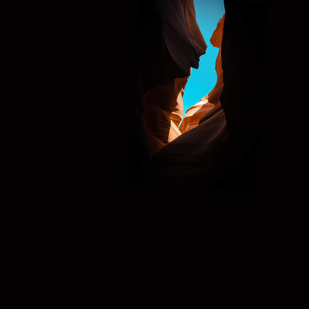 Paria River TrailHiking · ~13 min drivePhoto: KMK Photo, CC BY 2.0 (via Flickr)
- Fin Little TrailHiking · ~20 min drive
- Petrified Hollow TrailHiking · ~17 min drive
 The LoopHiking · ~3 min drivePhoto: John Fowler from Placitas, NM, USA, CC BY 2.0 (via Wikimedia Commons)
- Hayduke Trail #9Hiking · ~21 min drive
Also worth it near here
- Stateline CampgroundCamping · ~4 min drive
 Coyote ButtesSummit · ~6 min drivePhoto: Bureau of Land Management, Public domain (via Wikimedia Commons)
- Swoop WallRock climbing · ~7 min drivePhoto: DarTar, CC BY-SA 4.0 (via Wikimedia Commons)
 Wrather ArchNatural arch · ~22 min drivePhoto: BLM Photo, Public domain (via Wikimedia Commons)
Best time to visit Wire Pass Trail
Best months: March–May and October. Best months have typical highs of 55–85 °F, lows of 30 °F or warmer (32 °F where the station doesn't record snow), at most one snowy day and no more than 12 wet days.
Jan
46° / 22°
Feb
52° / 27°
Mar
61° / 33°
Apr
69° / 39°
May
79° / 48°
Jun
91° / 58°
Jul
96° / 65°
Aug
94° / 63°
Sep
86° / 53°
Oct
72° / 41°
Nov
57° / 29°
Dec
46° / 21°
Typical high / low (°F) and days with rain or snow, 1991–2020. Measured at Paria Rs, UT, 8.1 mi away at 4,426 ft. This station doesn't record snowfall. Source: NOAA NCEI U.S. Climate Normals 1991–2020.
Map and trail data © OpenStreetMap contributors
