The Loop
 Photo: John Fowler from Placitas, NM, USA, CC BY 2.0 (via Wikimedia Commons)
- 1.5 mi
- loop
- 613 ft
- climb
- 5,366 ft
- high point
- Loop
- route
- Mar–May, Oct
- best months
The Loop is a 1.5-mile loop in the Paria Canyon-Vermilion Cliffs Wilderness in Arizona, on land managed by the Bureau of Land Management's Arizona Strip Field Office. The route sits at about 5,000 feet and climbs to 5,366 feet, with a total gain of 613 feet. The climb is front-loaded, peaking in steepness around the 1.3-mile mark with a 21% grade, and the loop returns to nearly the same elevation it starts at. Spring and fall are the most comfortable times to go. Typical averages from a nearby weather station at Paria, Utah, run to highs around 69°F in April and 72°F in October, while July highs reach 96°F. That station sits roughly 940 feet below the trail, so temperatures on the loop run cooler. The loop takes about an hour to complete. Top Rock Loop is just 0.3 miles away, and the Trail To Double Arch and Notch Trail lie within about 1.5 miles. Stateline Campground, 1.6 miles off, offers a place to stay.
Local outfitters
- Kanab Tour Company28 mi away
- Kanab RV Corral29 mi away
Not on Roamze yet. Their page has how to reach them.
 Top Rock LoopHikingPhoto: Zhou Joe Yu, CC BY 3.0 (via Wikimedia Commons)0.3 mi
 Trail To Double ArchHikingPhoto: John Fowler from Placitas, NM, USA, CC BY 2.0 (via Wikimedia Commons)1.2 mi
- Notch TrailHiking1.5 mi
- Stateline CampgroundCamping1.6 mi
 Swoop WallRock climbingPhoto: DarTar, CC BY-SA 4.0 (via Wikimedia Commons)5.3 mi
- Carrot ButtressRock climbingPhoto: DarTar, CC BY-SA 4.0 (via Wikimedia Commons)5.4 mi
- Hammer WallRock climbingPhoto: DarTar, CC BY-SA 4.0 (via Wikimedia Commons)5.4 mi
- White House CampgroundCamping8.5 mi
Source: Roamze catalog (indexable pages within 10 miles, PostGIS distance)
- Top Rock LoopHiking · Next doorPhoto: Zhou Joe Yu, CC BY 3.0 (via Wikimedia Commons)
- Upper Buckskin Gulch TrailHiking · ~3 min drivePhoto: John Fowler from Placitas, NM, USA, CC BY 2.0 (via Wikimedia Commons)
 Buckskin Gulch TrailHiking · ~3 min drivePhoto: John Fowler from Placitas, NM, USA, CC BY 2.0 (via Wikimedia Commons)
- Buckskin GulchHiking · ~9 min drive
- Trail To Double ArchHiking · ~2 min drivePhoto: John Fowler from Placitas, NM, USA, CC BY 2.0 (via Wikimedia Commons)
- Cobra Arch TrailHiking · ~10 min drive
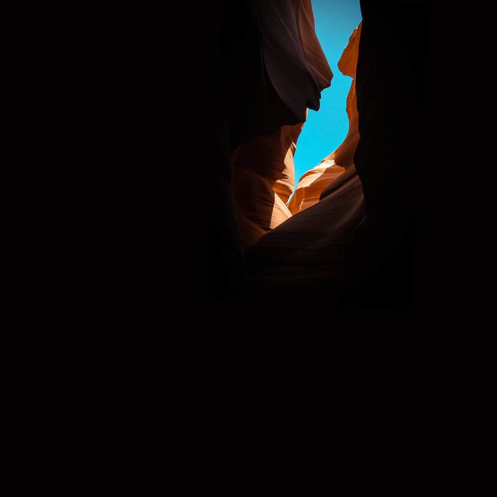 Paria River TrailHiking · ~13 min drivePhoto: KMK Photo, CC BY 2.0 (via Flickr)
- Fin Little TrailHiking · ~22 min drive
- House Rock Valley RoadHiking · ~3 min drivePhoto: John Fowler from Placitas, NM, USA, CC BY 2.0 (via Wikimedia Commons)
- Petrified Hollow TrailHiking · ~18 min drive
Also worth it near here
- Stateline CampgroundCamping · ~3 min drive
 Coyote ButtesSummit · ~4 min drivePhoto: Bureau of Land Management, Public domain (via Wikimedia Commons)
- Swoop WallRock climbing · ~9 min drivePhoto: DarTar, CC BY-SA 4.0 (via Wikimedia Commons)
 Wrather ArchNatural arch · ~22 min drivePhoto: BLM Photo, Public domain (via Wikimedia Commons)
Permit by lottery · The Wave
Lottery open now · closes Monday, November 30
For permits for March 2027.
Apply online during the month four months before you want to go. The draw runs at 9am Mountain on the 1st of the next month.
- Daily lottery too: A daily lottery for permits two days out. You apply on your phone while you are near Kanab.
Apply on Recreation.gov · Dates checked Oct 20
Best time to visit The Loop
Best months: March–May and October. Best months have typical highs of 55–85 °F, lows of 30 °F or warmer (32 °F where the station doesn't record snow), at most one snowy day and no more than 12 wet days.
Jan
46° / 22°
Feb
52° / 27°
Mar
61° / 33°
Apr
69° / 39°
May
79° / 48°
Jun
91° / 58°
Jul
96° / 65°
Aug
94° / 63°
Sep
86° / 53°
Oct
72° / 41°
Nov
57° / 29°
Dec
46° / 21°
Typical high / low (°F) and days with rain or snow, 1991–2020. Measured at Paria Rs, UT, 9.4 mi away at 4,426 ft. The station sits about 900 ft lower than this place, so expect it a little cooler here. This station doesn't record snowfall. Source: NOAA NCEI U.S. Climate Normals 1991–2020.
Map and trail data © OpenStreetMap contributors
