White House / Paria River Trail
 Photo: Ken Lund from Reno, Nevada, USA, CC BY-SA 2.0 (via Wikimedia Commons)
- 7.3 mi
- round trip
- 2,841 ft
- climb
- 4,417 ft
- high point
- Out and back
- route
- Mar–May, Oct
- best months
The White House / Paria River Trail is a 14.5-mile out-and-back hike on Bureau of Land Management land in the Kanab Field Office in Utah, about 7 miles from the town of Kanab. The trail is rated expert, and the route is a steady climb from a starting point of about 4,300 feet to a high point of 4,417 feet, with a total elevation gain of 2,841 feet over the full trip. The steepest stretch comes at about 2.5 miles in, where the grade reaches 27 percent. Spring and fall are the most comfortable times to go. Typical averages from a nearby weather station show May highs around 79°F and October highs around 72°F, while July averages climb to about 96°F. The White House Trailhead is the starting point, and White House Campground sits just 0.1 mile away. Copper Slot Trail and Trail to The Nautilus are both within half a mile. For climbing, North CRC is about 6 miles off.
Local outfitters
- Dixie's Lower Antelope Canyon Tours26 mi away
- Antelope Slot Canyon Tours26 mi away
Not on Roamze yet. Their page has how to reach them.
- White House CampgroundCamping0.1 mi
- Copper Slot TrailHiking0.3 mi
 Trail to The NautilusHikingPhoto: Ken Lund from Reno, Nevada, USA, CC BY-SA 2.0 (via Wikimedia Commons)0.4 mi
- Toadstool Hoodoos TrailHikingPhoto: Ken Lund from Reno, Nevada, USA, CC BY-SA 2.0 (via Wikimedia Commons)1.7 mi
- North CRCRock climbingPhoto: Ken Lund from Reno, Nevada, USA, CC BY-SA 2.0 (via Wikimedia Commons)6 mi
 Swoop WallRock climbingPhoto: DarTar, CC BY-SA 4.0 (via Wikimedia Commons)6.2 mi
- Carrot ButtressRock climbingPhoto: DarTar, CC BY-SA 4.0 (via Wikimedia Commons)6.3 mi
- Stateline CampgroundCamping9.7 mi
Source: Roamze catalog (indexable pages within 10 miles, PostGIS distance)
- Trail to The NautilusHiking · Next doorPhoto: Ken Lund from Reno, Nevada, USA, CC BY-SA 2.0 (via Wikimedia Commons)
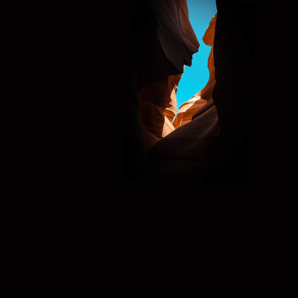 Paria River TrailHiking · ~10 min drivePhoto: KMK Photo, CC BY 2.0 (via Flickr)
 Upper Buckskin Gulch TrailHiking · ~13 min drivePhoto: John Fowler from Placitas, NM, USA, CC BY 2.0 (via Wikimedia Commons)
- Buckskin GulchHiking · ~11 min drive
- Toadstool Hoodoos TrailHiking · ~3 min drivePhoto: Ken Lund from Reno, Nevada, USA, CC BY-SA 2.0 (via Wikimedia Commons)
 Buckskin Gulch TrailHiking · ~13 min drivePhoto: John Fowler from Placitas, NM, USA, CC BY 2.0 (via Wikimedia Commons)
 Box TrailHiking · ~17 min drivePhoto: Greg Willis, CC BY-SA 3.0 (via Wikimedia Commons)
- Wahweap Hoodoos TrailHiking · ~20 min drive
- Paria RimrocksHiking · ~5 min drivePhoto: Ken Lund from Reno, Nevada, USA, CC BY-SA 2.0 (via Wikimedia Commons)
- Cobra Arch TrailHiking · ~5 min drive
Also worth it near here
- White House CampgroundCamping · Next door
- Cap Rock CityRock climbing · ~10 min drivePhoto: Ken Lund from Reno, Nevada, USA, CC BY-SA 2.0 (via Wikimedia Commons)
 Wrather ArchNatural arch · ~17 min drivePhoto: BLM Photo, Public domain (via Wikimedia Commons)
 Coyote ButtesSummit · ~18 min drivePhoto: Bureau of Land Management, Public domain (via Wikimedia Commons)
Best time to visit White House / Paria River Trail
Best months: March–May and October. Best months have typical highs of 55–85 °F, lows of 30 °F or warmer (32 °F where the station doesn't record snow), at most one snowy day and no more than 12 wet days.
Jan
46° / 22°
Feb
52° / 27°
Mar
61° / 33°
Apr
69° / 39°
May
79° / 48°
Jun
91° / 58°
Jul
96° / 65°
Aug
94° / 63°
Sep
86° / 53°
Oct
72° / 41°
Nov
57° / 29°
Dec
46° / 21°
Typical high / low (°F) and days with rain or snow, 1991–2020. Measured at Paria Rs, UT, 1.7 mi away at 4,426 ft. This station doesn't record snowfall. Source: NOAA NCEI U.S. Climate Normals 1991–2020.
Map and trail data © OpenStreetMap contributors
