Wrather Arch
 Photo: BLM Photo, Public domain (via Wikimedia Commons)
- 4,125 ft
- elevation
- Bureau of Land Management
- managed by
- Mar–May, Oct–Nov
- best months
Caution at last check
Weather is marginal · OpenWeather · checked 17 h ago
Wrather Arch is a natural arch in Coconino County, Arizona, standing at about 4,125 feet inside the Paria Canyon-Vermilion Cliffs Wilderness. The land is managed by the Bureau of Land Management's Arizona Strip Field Office, and the nearest town is Big Water, Utah, about 10 miles away. Spring and fall are the most comfortable times to visit. Typical averages from a nearby weather station in Big Water show April highs around 71°F and October highs around 72°F, while July highs average about 98°F. Several other destinations lie within about 10 miles. The Paria River Trail is about 5 miles away, and Judd Hollow is about 5 miles away. Farther out, the Stud Horse Trail Network and the Three Amigos Area are both about 9.5 miles away.
- Elevation
- 4,125 ft
- Land manager
- Bureau of Land Management
Elevation from USGS 3D Elevation Program terrain data (about 10 m resolution).
- Judd HollowHiking5 mi
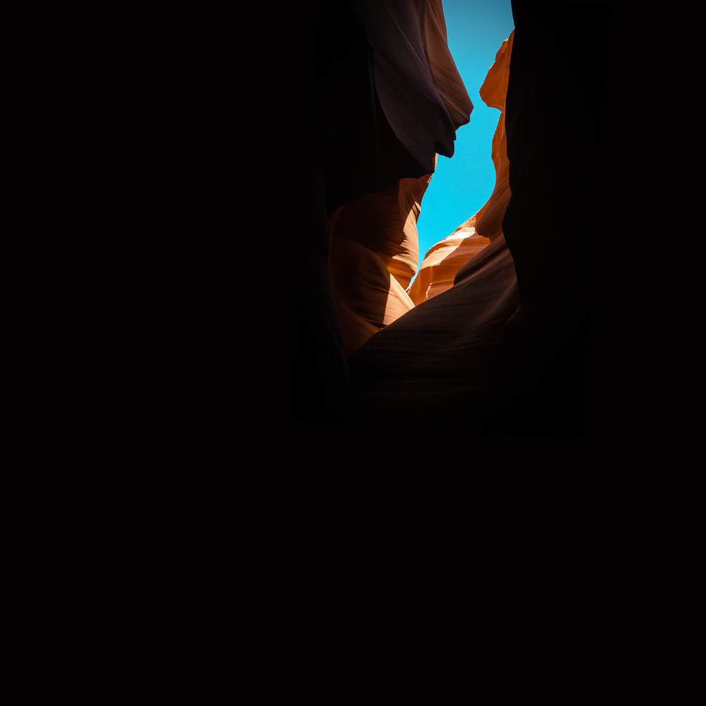 Paria River TrailHikingPhoto: KMK Photo, CC BY 2.0 (via Flickr)5.4 mi
- Middle TrailHiking9.4 mi
 Stud Horse Trail NetworkHikingPhoto: Stephen Edmonds, CC BY-SA 3.0 (via Wikimedia Commons)9.5 mi
- Cobra Arch TrailHiking9.5 mi
 The Three Amigos AreaRock climbingPhoto: The Dye Clan, CC BY-SA 3.0 (via Wikimedia Commons)9.6 mi
- Buck Tank Draw and Birthday ArchHiking9.6 mi
 Northern ArizonaRock climbingPhoto: The Greater Southwestern Exploration Company from Claremont, California, United States, CC BY 2.0 (via Wikimedia Commons)9.7 mi
Source: Roamze catalog (indexable pages within 10 miles, PostGIS distance)
 Grosvenor ArchNatural arch · ~58 min drivePhoto: Doug Dolde at English Wikipedia, Public domain (via Wikimedia Commons)
 Rainbow BridgeNatural arch · ~1h 18m drivePhoto: W. Bulach, CC BY-SA 4.0 (via Wikimedia Commons)
 Bryce Natural BridgeNatural arch · ~1h 21m drivePhoto: Phil Whitehouse from London, United Kingdom, CC BY 2.0 (via Wikimedia Commons)
 Metate ArchNatural arch · ~1h 21m drivePhoto: John Fowler from Placitas, NM, USA, CC BY 2.0 (via Wikimedia Commons)
 Sunset Natural ArchNatural arch · ~1h 25m drivePhoto: John Fowler from Placitas, NM, USA, CC BY 2.0 (via Wikimedia Commons)
 Broken Bow ArchNatural arch · ~1h 25m drivePhoto: G. Thomas at English Wikipedia, Public domain (via Wikimedia Commons)
- Hole in the RockNatural arch · ~7 min drive
- Cobra ArchNatural arch · ~13 min drive
- Blue Pools ArchNatural arch · ~16 min drive
- Skylight ArchNatural arch · ~18 min drive
Also worth it near here
- Paria River TrailHiking · ~9 min drivePhoto: KMK Photo, CC BY 2.0 (via Flickr)
- The Three Amigos AreaRock climbing · ~16 min drivePhoto: The Dye Clan, CC BY-SA 3.0 (via Wikimedia Commons)
- Lees Ferry Boat LaunchBoat launch · ~22 min drive
 Coyote ButtesSummit · ~22 min drivePhoto: Bureau of Land Management, Public domain (via Wikimedia Commons)
Best time to visit Wrather Arch
Best months: March–May and October–November. Best months have typical highs of 55–85 °F, lows of 30 °F or warmer (32 °F where the station doesn't record snow), at most one snowy day and no more than 12 wet days.
Jan
45° / 23°
4 wet
Feb
52° / 28°
4 wet
Mar
62° / 35°
5 wet
Apr
71° / 41°
4 wet
May
81° / 49°
3 wet
Jun
93° / 59°
2 wet
Jul
98° / 67°
4 wet
Aug
95° / 65°
5 wet
Sep
87° / 56°
4 wet
Oct
72° / 44°
4 wet
Nov
57° / 32°
3 wet
Dec
45° / 25°
3 wet
Typical high / low (°F) and days with rain or snow, 1991–2020. Measured at Big Water, UT, 10 mi away at 4,100 ft. This station doesn't record snowfall. Source: NOAA NCEI U.S. Climate Normals 1991–2020.
