

Up The Creek Campground
Hiking business nearby (~23 mi away) — hasn't claimed their Roamze page yet
Free — you'll pick up right here.
Watch this trail
Sign up to watch it — saving subscribes you to gate, closure and report changes.
Utah
144 ft
Gain
We won't guess. Here is exactly what we do and don't know.
What we do know
Inside Canyonlands National Park
National Park unit boundary is mapped — agency alerts for it feed this page automatically.
Boundary data
What's missing
No access route mapped
We don't yet know which road reaches this trailhead, so we can't tell you if it's gated.
Nobody's filed a report here yet — be the first.
Why you'll love it
Upheaval Dome Overlooks Trail
AI-suggested draft · review before you go
No permit or access details on file for this trail — check with the local land manager before you go.
<p>Two short but steep hikes lead to overlooks of a spectacular and colorful geologic feature: Upheaval Dome.<br /> <br /> <em>Within minutes of starting, the Overlooks trail crosses the very challenging Syncline Trail, which loops around Upheaval Dome without viewing its center. For more information about the Syncline Trail, see the <strong>Strenuous Hikes - Mesa Top to White Rim</strong> section of the Canyonlands app.</em></p> <h2>Upheaval Dome first overlook</h2> <ul> <li><strong>Roundtrip Distance</strong>: 0.6 mi (1 km)</li> <li><strong>Time</strong>: 1 hr</li> <li><strong>Elevation Change</strong>: 115 ft (35m)</li> <li><strong>Difficulty</strong>: Moderate</li> <li><strong>Hike Description</strong>: A short but steep trail leads to a clear view into Upheaval dome. Exhibits at the end of the trail discuss this unique geologic feature.</li> </ul> <h2>Upheaval Dome second overlook</h2> <ul> <li><strong>Roundtrip Distance</strong>: 1.2 mi (1.9 km)</li> <li><strong>Time</strong>: 1.5 hrs</li> <li><strong>Elevation Change</strong>: 114 ft (35m)</li> <li><strong>Difficulty</strong>: Moderate</li> <li><strong>Hike Description</strong>:This trail splits off from the first overlook trail, following cairns to more views of Upheaval Dome and Upheaval Canyon.</li> <li><strong>Accessibility</strong>: This trail can be rough, uneven, and requires walking up and down a rocky hill and stone steps. It is not accessible to wheelchairs. In winter, there may be snow or icy conditions; we recommend traction devices for hikers.</li> <li><strong>Dogs are not allowed on this trail</strong>. Service animals are allowed in national parks. <a href="https://cms.nps.gov/planyourvisit/service-animals.htm">What is a service animal?</a> </li> </ul> <p>Canyonlands is a place of relative geologic order. <a href="https://www.nps.gov/cany/learn/nature/rockstrata.htm">Layers</a> of sedimentary deposits systematically record chapters in the park's past. With some exceptions, these layers have not been altered, tilted or folded significantly in the millions of years since they were laid down by ancient seas, rivers or winds.</p> <p>Upheaval Dome is quite a different story. In an area approximately three miles (5 km) across, rock layers are dramatically deformed. In the center, the rocks are pushed up into a circular structure called a dome, or an anticline. Surrounding this dome is a downwarp in the rock layers called a syncline. What caused these folds at Upheaval Dome? Geologists do not know for sure, but there are two main theories which are hotly debated.</p> <p><strong>Salt Dome Theory</strong></p> <p>A thick layer of salt, formed by the evaporation of ancient landlocked seas, underlies much of southeastern Utah and Canyonlands National Park. When under pressure from thousands of feet of overlying rock, the salt can flow plastically, like ice moving at the bottom of a glacier. In addition, salt is less dense than sandstone. As a result, over millions of years salt can flow up through rock layers as a "salt bubble", rising to the surface and creating salt domes that deform the surrounding rock.</p> <p>When geologists first suggested that Upheaval Dome was the result of a salt dome, they believed the land form resulted from erosion of the rock layers above the dome itself. Recent research suggests that a salt bubble as well as the overlying rock have been entirely removed by erosion and the present surface of Upheaval Dome is the pinched off stem below the missing bubble. If true, Upheaval Dome would earn the distinction of being the most deeply eroded salt structure on earth.</p> <p><strong>Impact Crater Theory</strong></p> <p>When meteorites collide with the earth, they leave impact craters like the well-known one in Arizona. Some geologists estimate that roughly 60 million years ago, a meteorite with a diameter of approximately one-third of a mile hit at what is now the Upheaval Dome. The impact created a large explosion, sending dust and debris high into the atmosphere. The impact initially created an unstable crater that partially collapsed. As the area around Upheaval Dome reached an equilibrium, the rocks underground heaved upward to fill the void left by the impact. Erosion since the impact has washed away any meteorite debris, and now provides a glimpse into the interior of the impact crater, exposing rock layers once buried thousands of feet underground.</p> <p><strong>Upheaval Dome Today</strong></p> <p><a href="http://geology.gsapubs.org/content/36/3/227.abstract">Recent research findings</a> support the meteorite hypothesis, but questions still remain. Within Canyonlands National Park, Upheaval Dome serves as a protected geologic laboratory where all can learn about, and be inspired by, the mysteries of nature. Perhaps, with time, we may solve the mystery of this crater and others on our planet.</p>
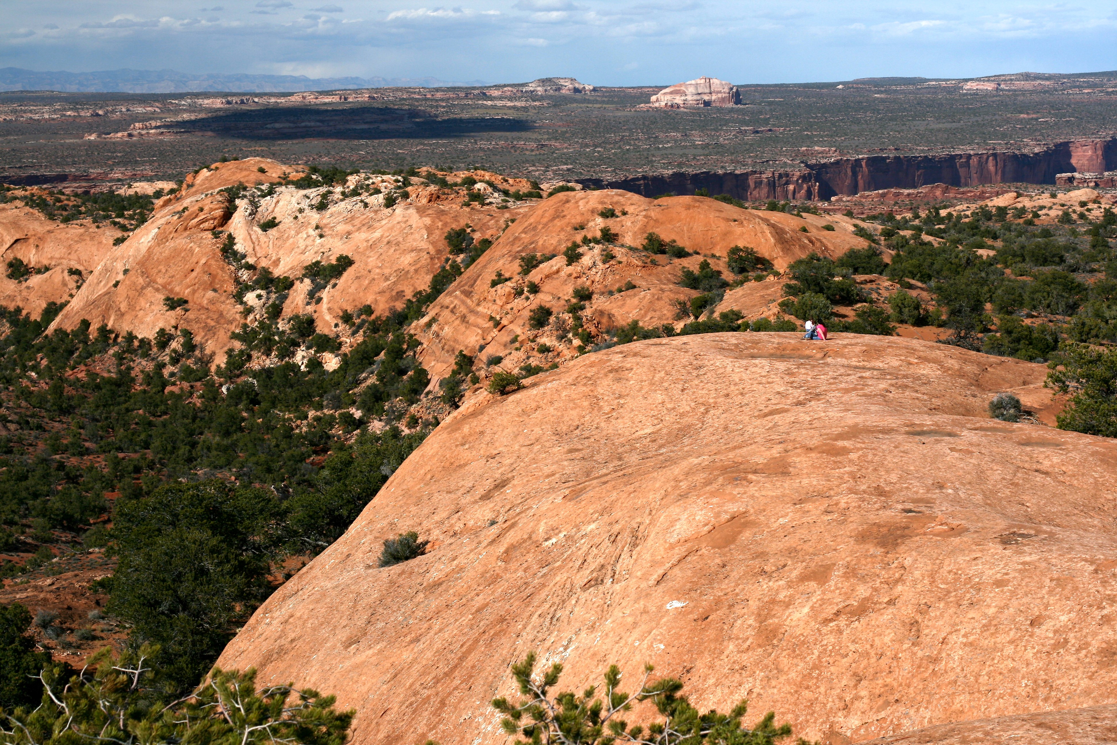
Whale Rock Trail
~1 min drive
<p>Many features in this region bear imaginative names. Does this long sandstone dome looked like a giant whale to you? This trail walks along its side, then climbs from its "tail" up to its "blowhole."</p> <ul role="list"> <li aria-setsize="-1" data-aria-level="5" data-aria-p…
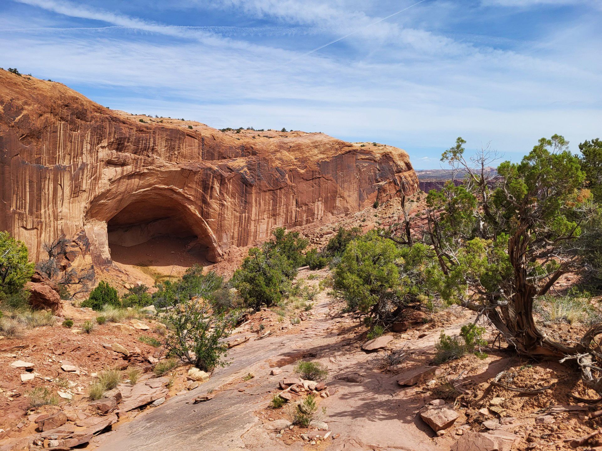
Alcove Spring Trail
~2 min drive
<p>After descending 1,300 feet (396 m) past a large alcove, the trail meanders in a wide canyon to the base of the notable Moses and Zeus towers. </p> <ul> <li> <p><strong>Roundtrip Distance</strong>: 11.2 mi (18 km)</p> </li> <li> <p><strong style="color: rgb(85, 85, 85); fon…
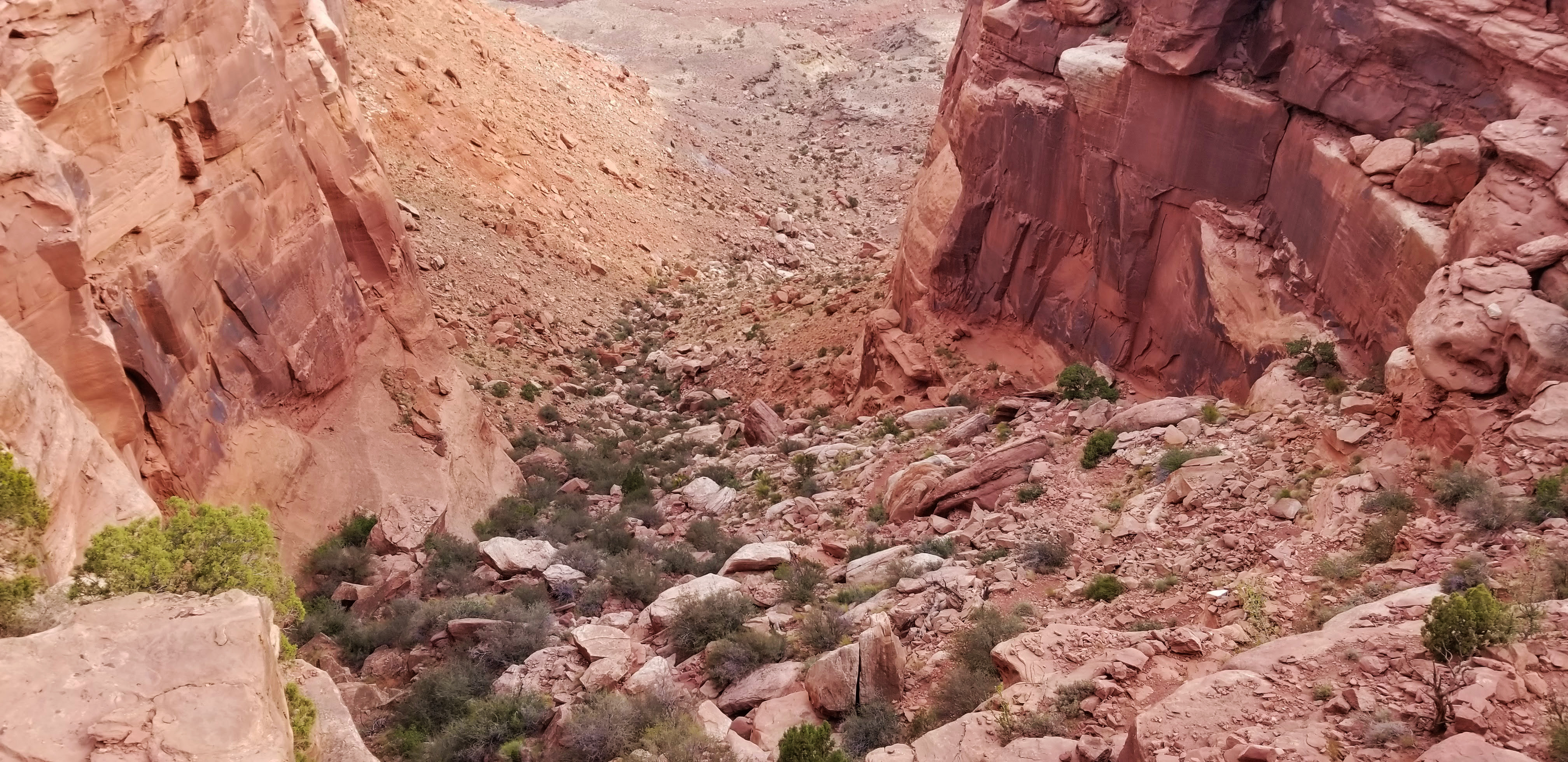
Wilhite Trail
~4 min drive
<p paraeid="{dd69bb86-0131-4382-92b9-332d48e86814}{233}" paraid="840572081">A primitive trail with steep switchbacks drops 1,600 feet (488 m) into a long, sandy wash. Follow the wash to the White Rim Road. No shade.</p> <ul role="list"> <li paraeid="{dd69bb86-0131-4382-92b9-33…
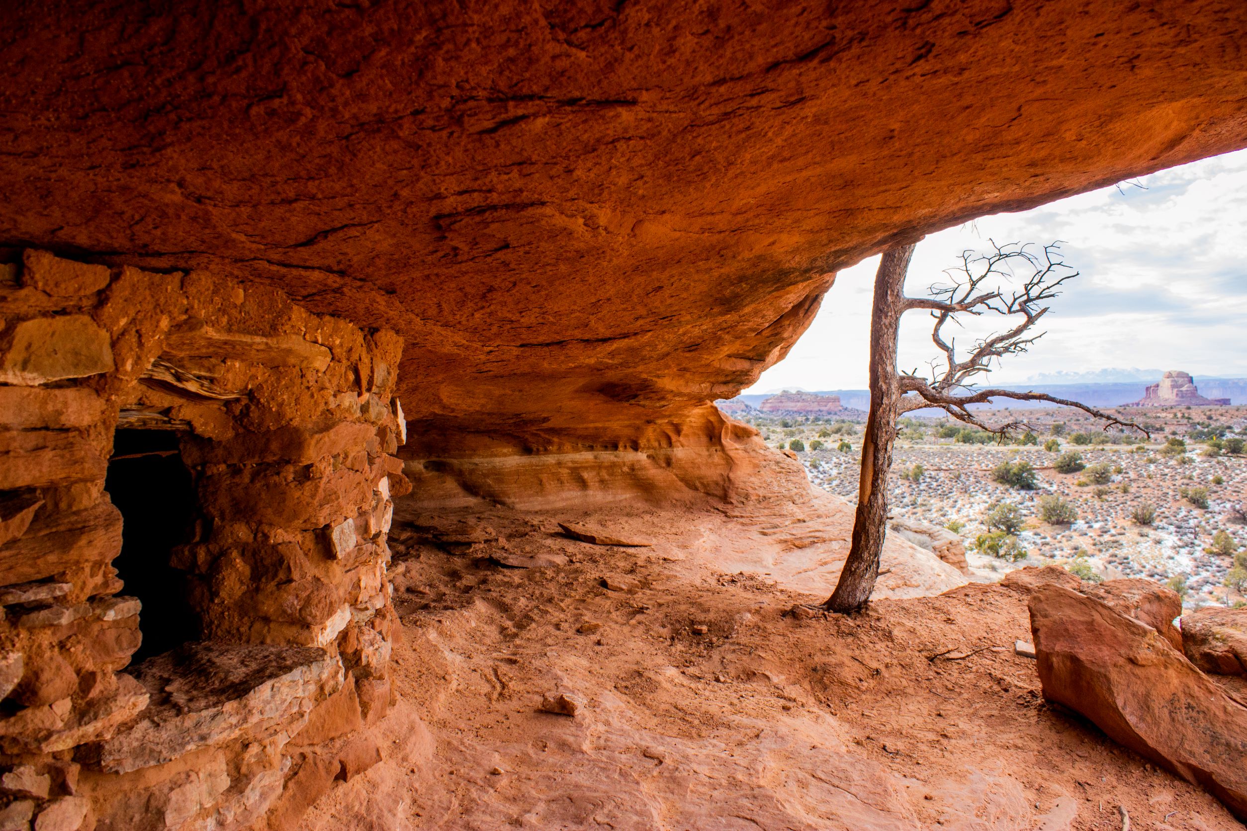
Aztec Butte Trail
~6 min drive
<p paraeid="{6586b1d3-5177-47f9-8426-e7e98ddba119}{68}" paraid="308520971">Indigenous people once stored foods and medicines in rock structures, called granaries, built into alcoves here. Despite the current name, they were not part of the Aztec civilization. <em>Do not touch…
Moses and Zeus Towers Trail
~6 min drive
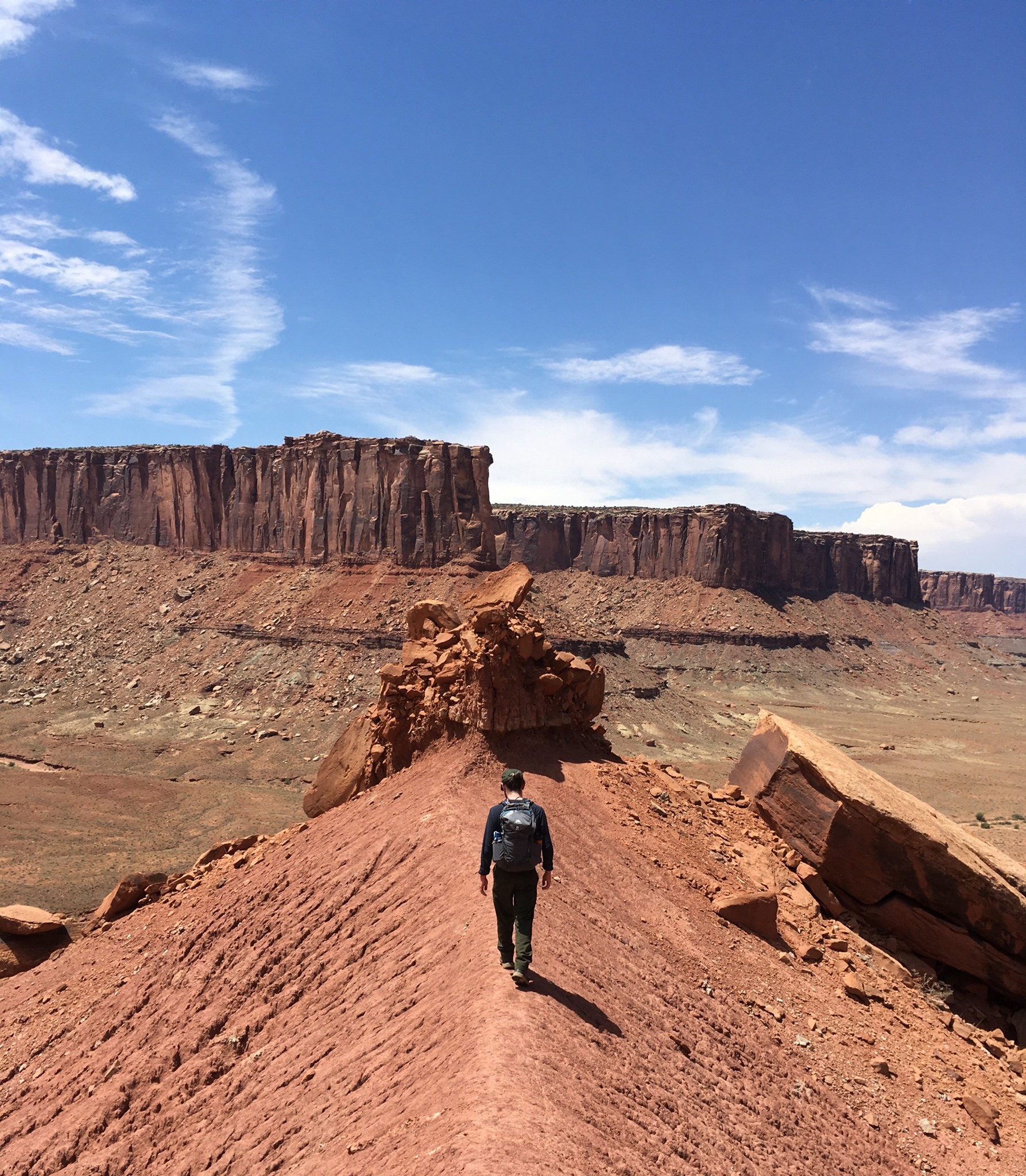
<p><i>Reaching this trail requires a permit to drive the 4WD White Rim Road or hiking down Alcove Spring Trail (11.2 mi/18.3 km roundtrip).</i><br /> <br /> Moses and Zeus are two prominent towers overlooking Taylor Canyon. This trail leads to their base.</p> <ul role="list">…
Mesa Arch Trail
~7 min drive
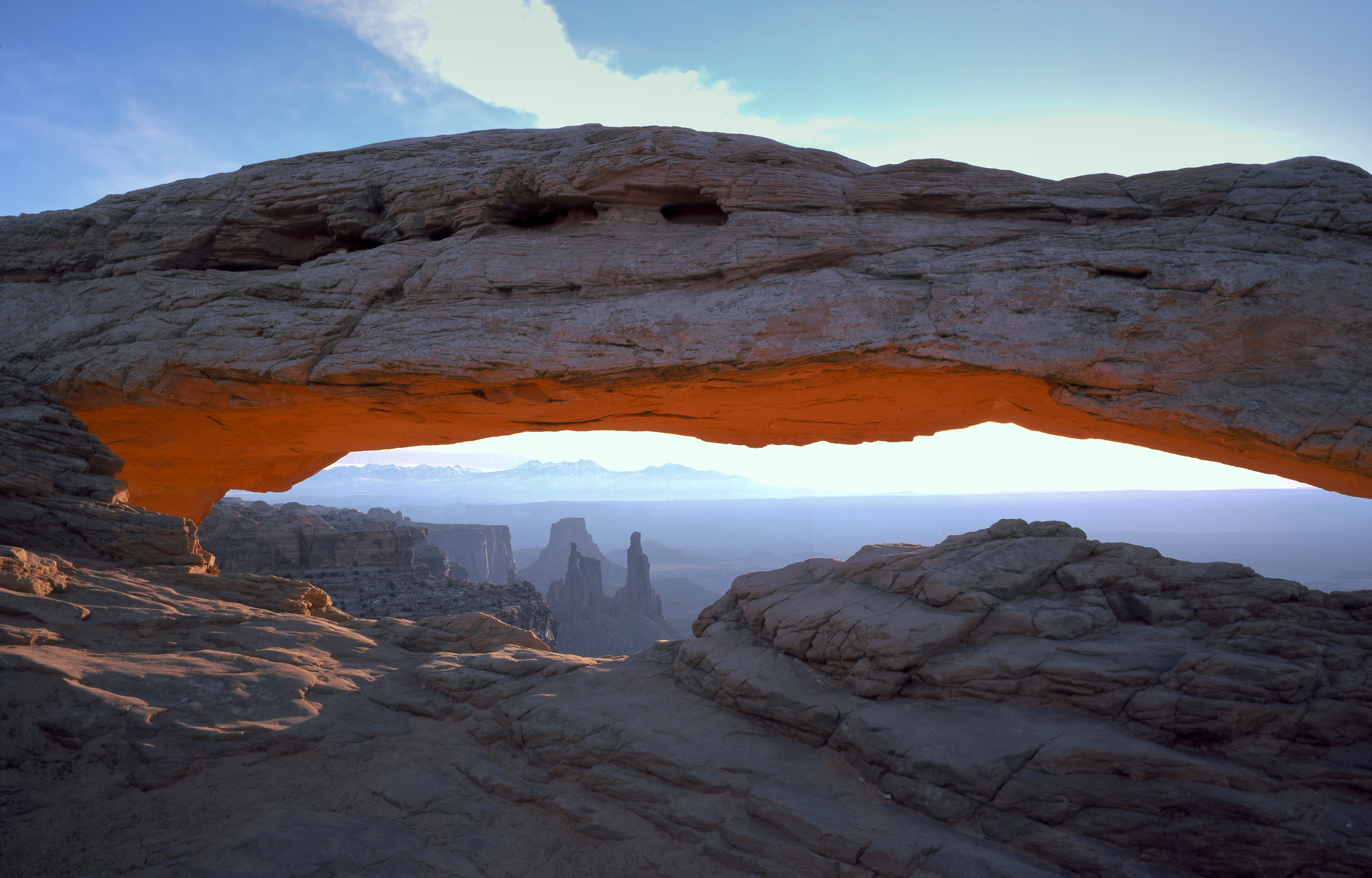
<p>Perched at the edge of the mesa top, this 27-foot-long (8.3 m) arch frames views of the canyon far below and the La Sal Mountains in the distance. The loop hike has slightly more elevation change at the beginning if you travel counter-clockwise. To reduce the number of stai…
Fort Bottom Trail
~9 min drive
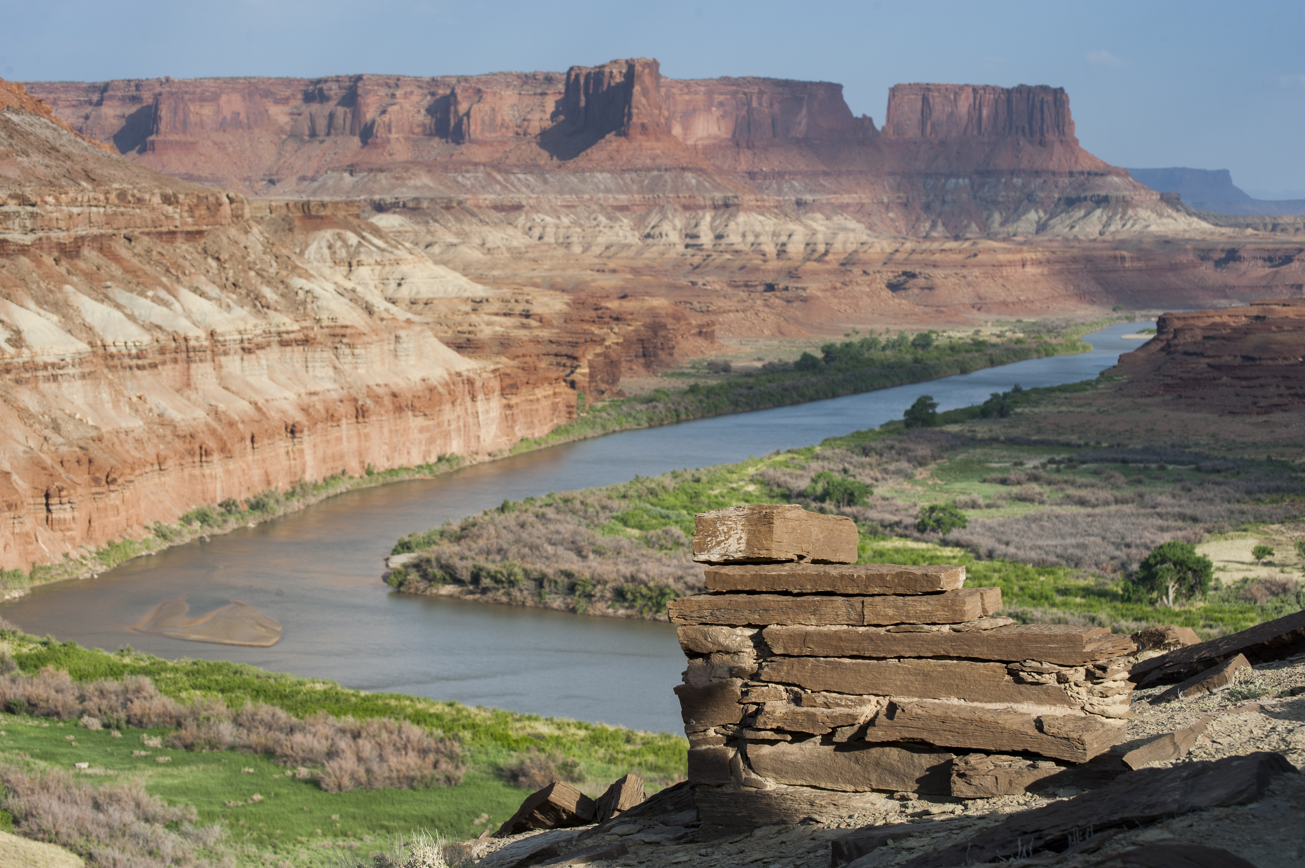
<p><i>Reaching this trail requires a permit to drive the 4WD White Rim Road. </i><br /> <br /> Fort Bottom Ruin is an ancient stone structure overlooking the Green River, built by Indigenous inhabitants of the Canyonlands area centuries ago. </p> <ul role="list"> <li aria-sets…
Lathrop Trail
~9 min drive
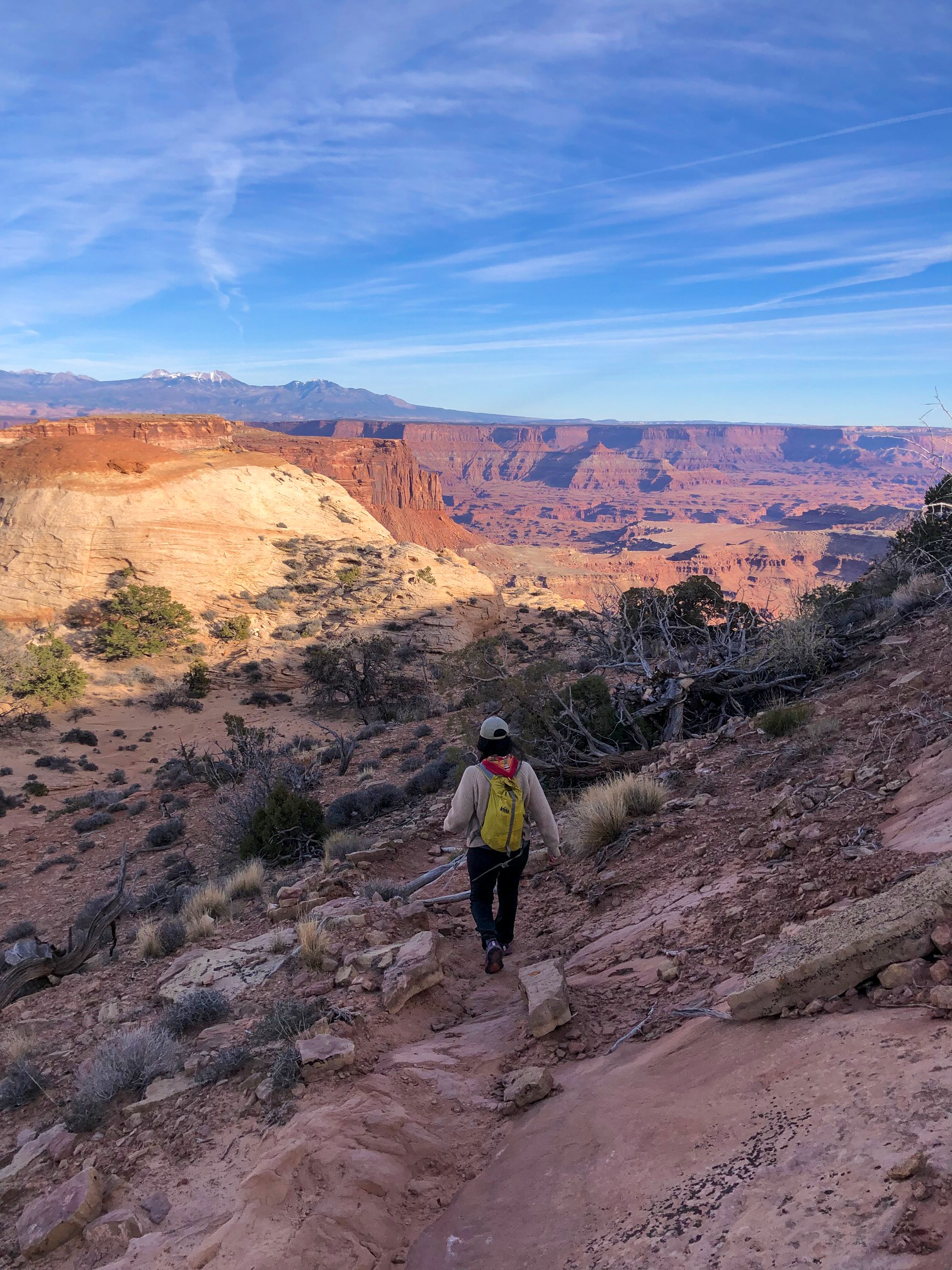
<p>The Lathrop Trail crosses a wide grassland on the mesa top, enjoys views of Colorado River, then descends into the canyon below. For a moderate trail option, hikers often turn around at the canyon rim. Continuing down to the White Rim Road means a strenuous hike back out.</…
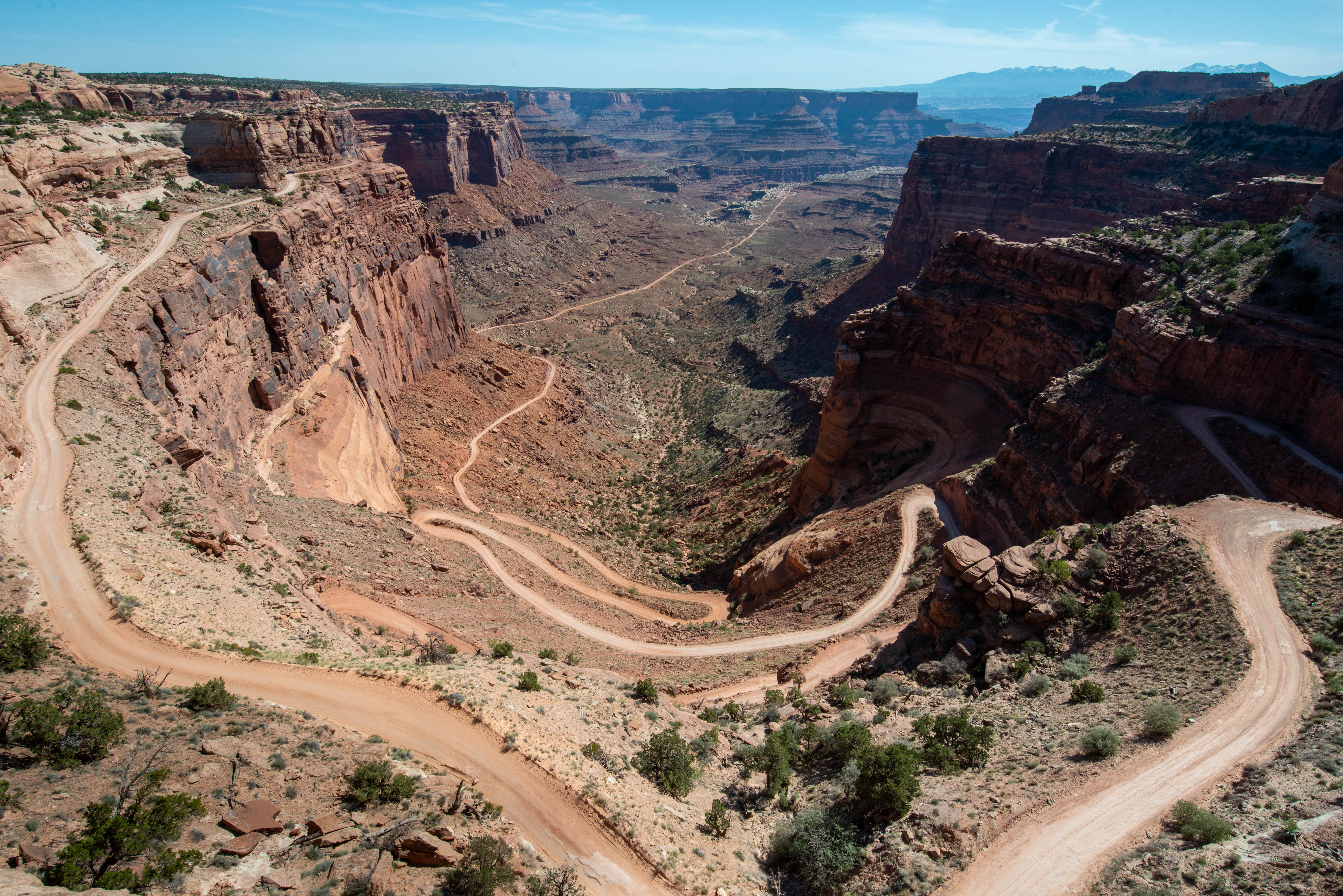
Shafer Trail Viewpoint
~10 min drive
<p>A short, 0.9 mi (1.4 km) drive past the Island in the Sky visitor center leads to a breathtaking view of the Shafer Trail. <br /> <br /> The Shafer Trail at the Island in the Sky district of Canyonlands National Park is an iconic road that descends 1,500 feet (457 m) throug…
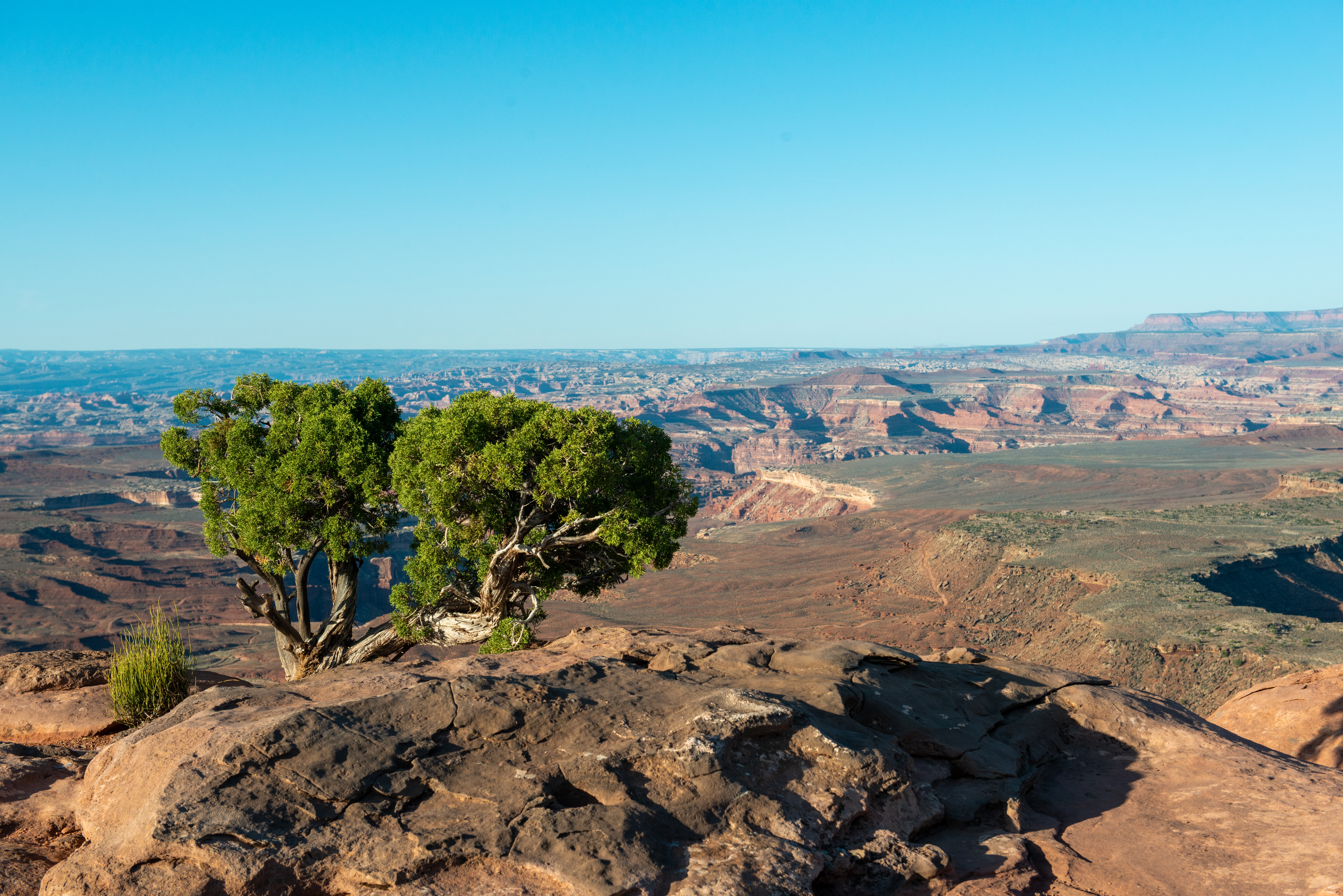
Murphy Point Trail
~10 min drive
<p>People seeking a mostly level hike longer than just a mile might enjoy the Murphy Point Trail. It leaves the pavement and vehicle sounds behind, and offers the change to imagine what Canyonlands looked like during its ranching days before it became a national park. </p> <ul…
Also worth it near here
Local operatorsoffering guided trips. You book directly with them — Roamze doesn’t take a cut.
Up The Creek Campground
Hiking business nearby (~23 mi away) — hasn't claimed their Roamze page yet
Moab Rim Campark
Hiking business nearby (~23 mi away) — hasn't claimed their Roamze page yet
Spanish Trail RV Park
Hiking business nearby (~24 mi away) — hasn't claimed their Roamze page yet