Southeast Utah
Southeast Utah, Utah: 5 trad climbing routes spanning 5 difficulty grades.
- 5 routes
- 5.9 – 5.14-
- Trad
Is Southeast Utah open right now?
No closures listed
The National Park Service lists no closures for Canyonlands National Park.
As of · Source: NPS · Canyonlands National Park. Agencies don't list every closure — check before you go.
Best time to visit Southeast Utah
Best months: April–June and September–October. Best months have typical highs of 55–85 °F, lows of 30 °F or warmer (32 °F where the station doesn't record snow), at most one snowy day and no more than 12 wet days.
Jan
37° / 22°
4 wet · 4 snow
Feb
43° / 27°
4 wet · 3 snow
Mar
54° / 35°
5 wet · 2 snow
Apr
62° / 40°
5 wet · 1 snow
May
72° / 50°
5 wet
Jun
85° / 62°
3 wet
Jul
91° / 68°
6 wet
Aug
88° / 66°
7 wet
Sep
79° / 57°
6 wet
Oct
65° / 44°
5 wet
Nov
49° / 33°
4 wet · 2 snow
Dec
37° / 23°
4 wet · 4 snow
Typical high / low (°F) and days with rain or snow, 1991–2020. Measured at Canyonlands-The Neck, UT, 7.3 mi away at 5,871 ft. Source: NOAA NCEI U.S. Climate Normals 1991–2020.
Southeast Utah is a climbing area within Canyonlands National Park, managed by the National Park Service. It sits in the park's southeast corner, and a fee is charged for park activities. Spring and fall are the most comfortable times to visit. Typical averages from a nearby weather station show May highs around 72°F and September highs around 79°F, while July averages a high of 91°F and January highs sit near 37°F. The Murphy Hogback Loop, Murphy Loop Trail and Murphy Point Trail all lie about 0.3 miles away, and Taylor Canyon is about a mile off. Farther afield, the White Rim Overlook Trail is about 2.6 miles away.
Routes (5)
Bartlett Wash(2)
Cheese Box Canyon(1)
Mr Potato Head(1)
Upper Hammond Spire(1)
Facts about this crag
Keep exploring — more climbs worth the drive
 Photo: Frans-Banja Mulder, CC BY 3.0 (via Wikimedia Commons)
Taylor Canyon
~2 min drive
Taylor Canyon in Utah has 6 traditional climbing routes across 5 difficulty grades.
 Photo: au_ears, CC BY-SA 2.0 (via Wikimedia Commons)
Island In The Sky
~6 min drive
Island In The Sky in Utah has 20 climbing routes across 6 grades, offering mixed and traditional climbing.
 Photo: Peter K., CC BY-SA 3.0 (via Wikimedia Commons)
Monument Basin
~7 min drive
Monument Basin in Utah has 6 trad climbing routes across 6 difficulty grades.
 Photo: BFS Man from Webster, TX, USA, CC BY 2.0 (via Wikimedia Commons)
Bird's View Butte / Crow's Head Spires
~18 min drive
9 traditional climbing routes at Bird's View Butte / Crow's Head Spires in Utah.
 Photo: RuggyBearLA, CC BY 2.0 (via Wikimedia Commons)
The Needles District
~22 min drive
Needles District, The in Utah has 6 routes with bouldering pads and trad.
 Photo: RuggyBearLA, CC BY 2.0 (via Wikimedia Commons)
Maverick Buttress
~27 min drive
Maverick Buttress in Utah has 25 climbing routes across 14 grades, offering sport and trad styles.
 Photo: runt35, CC BY 3.0 (via Wikimedia Commons)
Reptilian Wall
~27 min drive
Reptilian Wall in Utah has 16 trad climbing routes across 6 grades.
 Photo: RuggyBearLA, CC BY 2.0 (via Wikimedia Commons)
First Switchback
~28 min drive
First Switchback is a Utah climbing crag with 7 routes across 5 grades.
Photo: RuggyBearLA, CC BY 2.0 (via Wikimedia Commons)Forming Arch
~28 min drive
Forming Arch in Utah has 6 traditional climbing routes across 4 difficulty grades.
 Photo: katsrcool, CC BY 2.0 (via Wikimedia Commons)
Big Brain
~28 min drive
Big Brain is a bouldering crag in Utah with 6 routes and 6 difficulty grades.
Also worth it near here
 Photo: BFS Man from Webster, TX, USA, CC BY 2.0 (via Wikimedia Commons)
Murphy Hogback Loop
~1 min drive
 Photo: Peter & Joyce Grace, CC BY 2.0 (via Wikimedia Commons)
Muffin Butte
~2 min drive
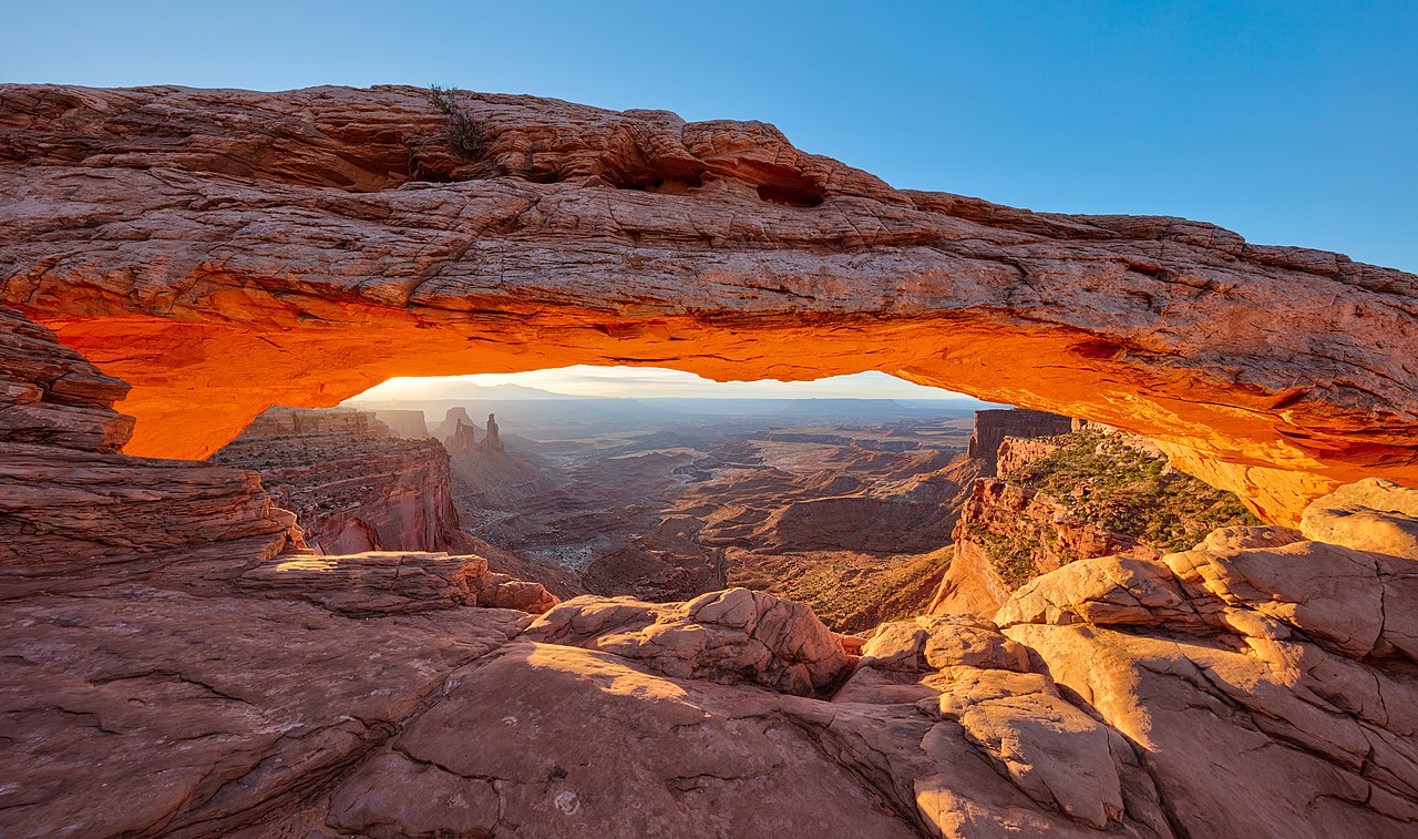 Photo: Thomas Wolf, www.foto-tw.de, CC BY-SA 3.0 (via Wikimedia Commons)
Mesa Arch
~3 min drive
Willow Flat
~4 min drive
