

Up The Creek Campground
Hiking business nearby (~23 mi away) — hasn't claimed their Roamze page yet
Free — you'll pick up right here.
Watch this trail
Sign up to watch it — saving subscribes you to gate, closure and report changes.
Utah
2,276 ft
Gain
We won't guess. Here is exactly what we do and don't know.
What we do know
Inside Canyonlands National Park
National Park unit boundary is mapped — agency alerts for it feed this page automatically.
Boundary data
What's missing
No access route mapped
We don't yet know which road reaches this trailhead, so we can't tell you if it's gated.
Nobody's filed a report here yet — be the first.
Why you'll love it
Syncline Trail
AI-suggested draft · review before you go
No permit or access details on file for this trail — check with the local land manager before you go.
<p>The Syncline Trail follows canyons around Upheaval Dome and requires navigating steep switchbacks, climbing and scrambling through boulder fields, and a 1,500-foot (460 m) elevation change. <strong><em>This is the most challenging trail in the Island in the Sky district, and most park rescues occur on this trail. </em></strong></p> <ul> <li><strong>Roundtrip Distance</strong>: 8.1 mi (13 km)</li> <li><strong>Time</strong>: 5-7 hrs</li> <li><strong>Elevation Change</strong>: 1,516 ft (462 m)</li> <li><strong>Difficulty</strong>: Strenuous. <em>Not recommended during peak summer heat</em></li> <li><strong>Hike Description</strong>: This challenging trail follows the canyons around Upheaval Dome and requires navigating steep switchbacks, climbing and scrambling through boulder fields where trail markers are few and far apart. Hiking the trail clockwise starts with a very steep descent but affords better afternoon shade for the gradual ascent through miles of loose sand.</li> <li><strong>Bring</strong>: Water (at least 1 liter per person, per hour), snacks, sturdy footwear, headlamp or flashlight, map, and be prepared for, sun, rain, heat, or cold.</li> <li><strong>Accessibility</strong>: This trail can be rough, uneven, and requires walking up and down a rocky hill and stone steps. It is not accessible to wheelchairs. In winter, there may be snow or icy conditions; we recommend traction devices for hikers. </li> <li><strong>Dogs are not allowed on this trail</strong>. Service animals are allowed in national parks. <a href="https://cms.nps.gov/planyourvisit/service-animals.htm">What is a service animal?</a></li> </ul> <p>This trail loops around Upheaval Dome but does not provide any views of that unusual geologic feature. For the best views, hike the Upheaval Dome Overlooks trail described in the <strong>Moderate - Mesa Top</strong> section of the Canyonlands app.</p>
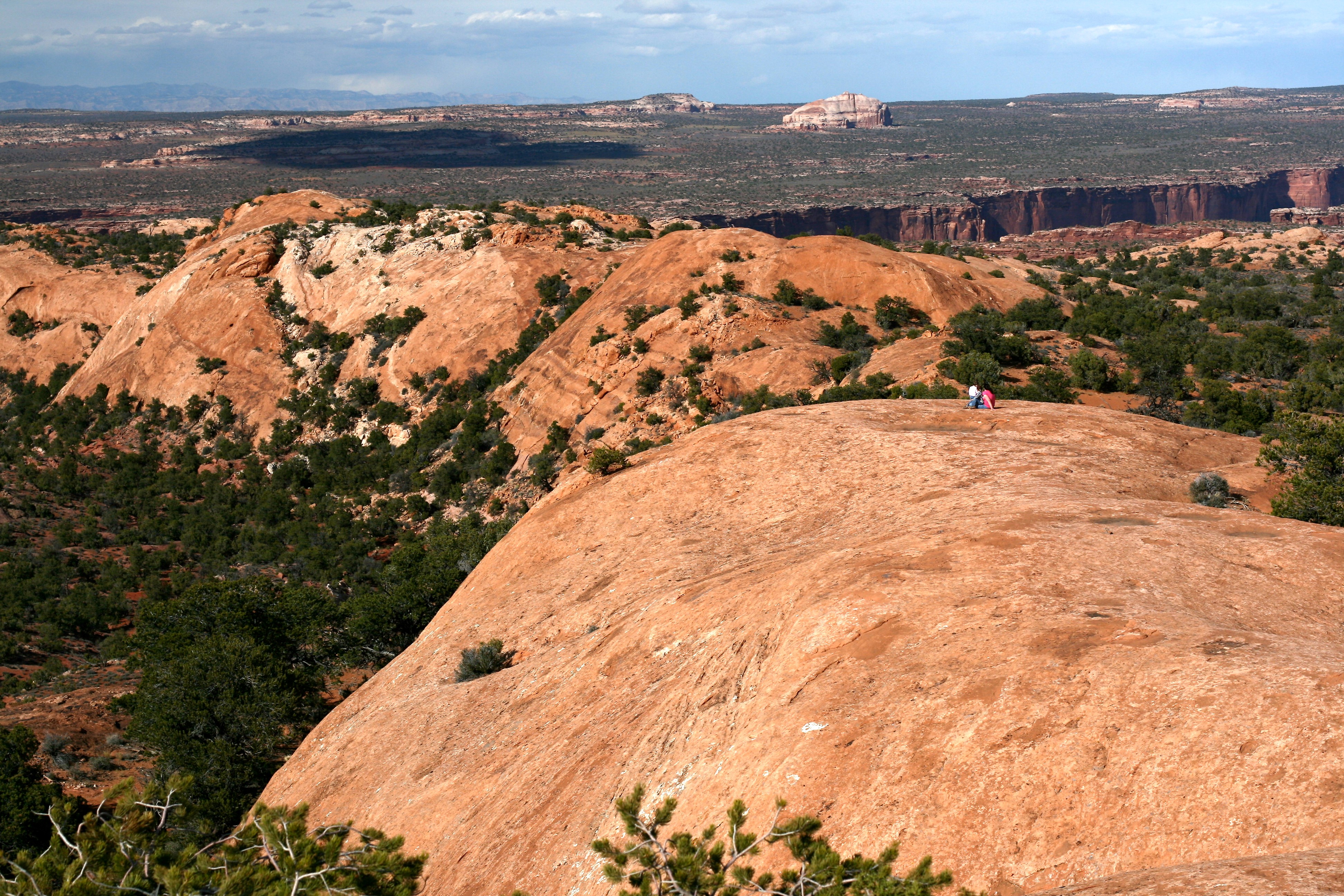
Whale Rock Trail
~1 min drive
<p>Many features in this region bear imaginative names. Does this long sandstone dome looked like a giant whale to you? This trail walks along its side, then climbs from its "tail" up to its "blowhole."</p> <ul role="list"> <li aria-setsize="-1" data-aria-level="5" data-aria-p…
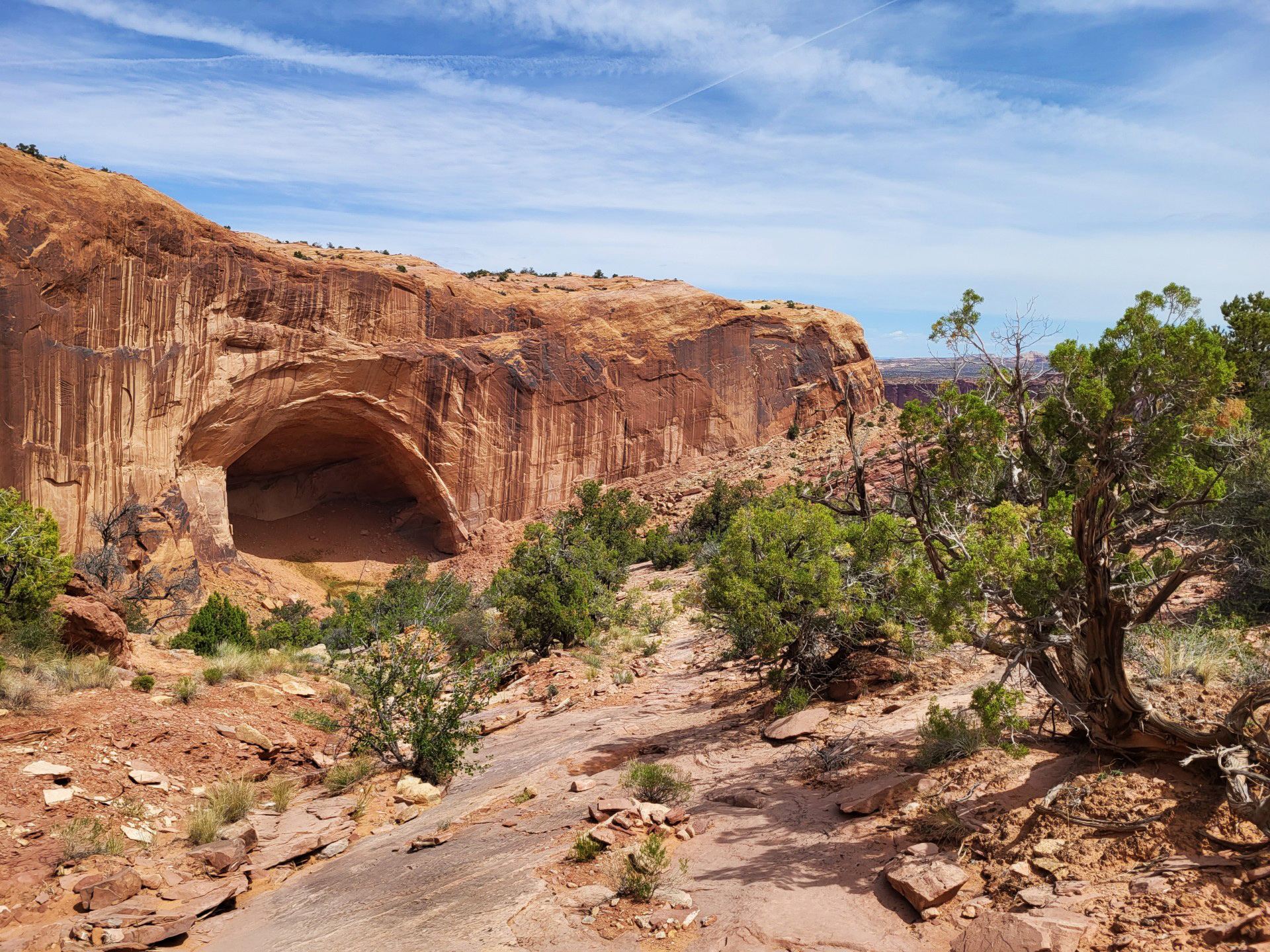
Alcove Spring Trail
~2 min drive
<p>After descending 1,300 feet (396 m) past a large alcove, the trail meanders in a wide canyon to the base of the notable Moses and Zeus towers. </p> <ul> <li> <p><strong>Roundtrip Distance</strong>: 11.2 mi (18 km)</p> </li> <li> <p><strong style="color: rgb(85, 85, 85); fon…
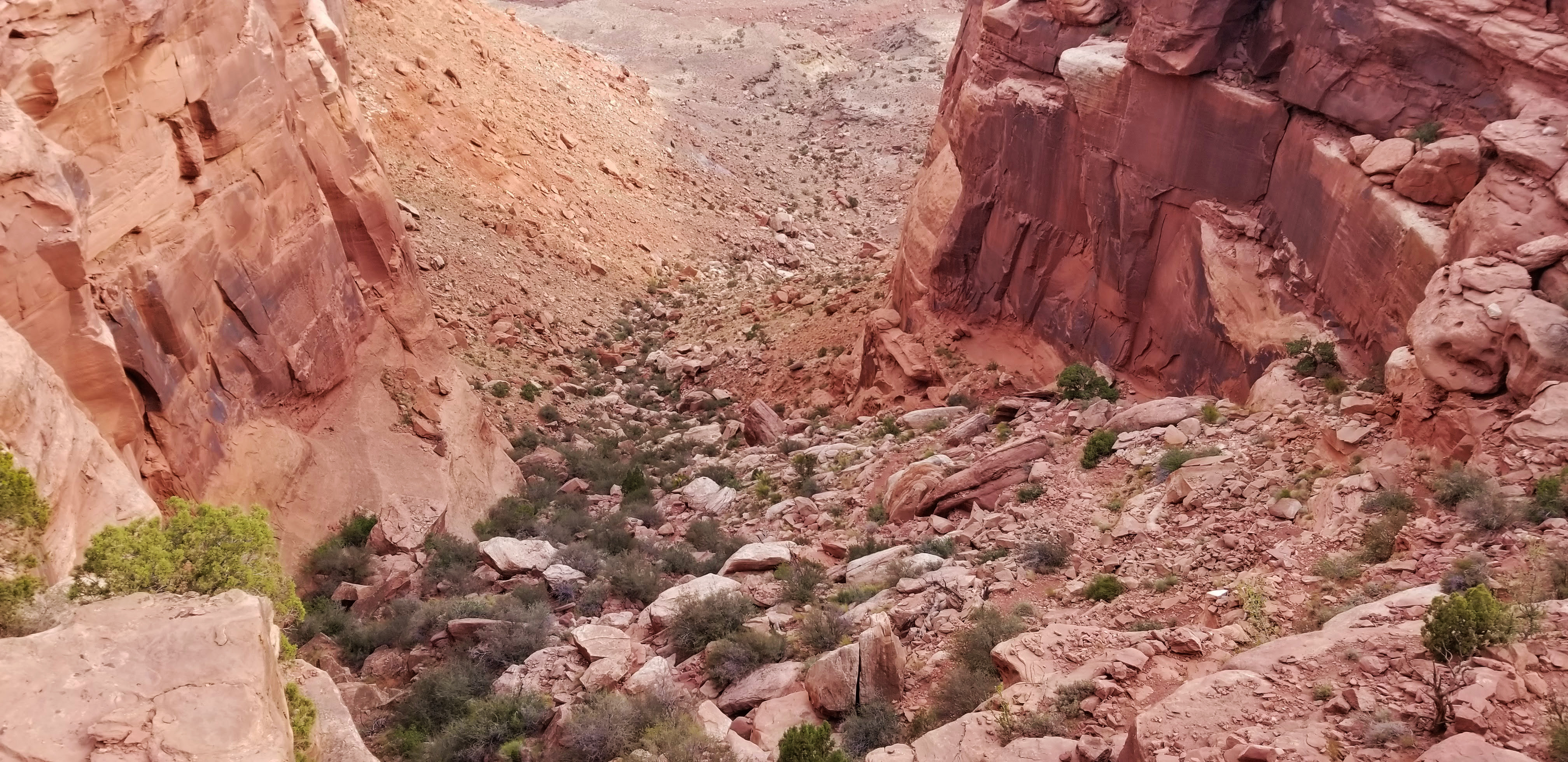
Wilhite Trail
~4 min drive
<p paraeid="{dd69bb86-0131-4382-92b9-332d48e86814}{233}" paraid="840572081">A primitive trail with steep switchbacks drops 1,600 feet (488 m) into a long, sandy wash. Follow the wash to the White Rim Road. No shade.</p> <ul role="list"> <li paraeid="{dd69bb86-0131-4382-92b9-33…
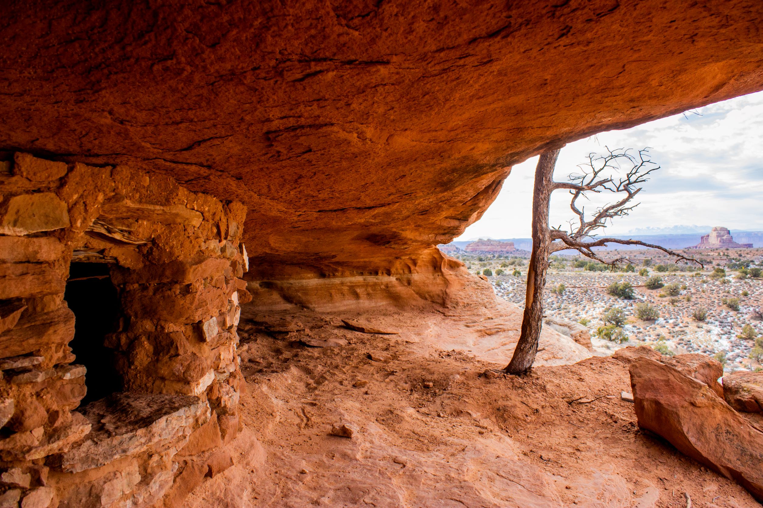
Aztec Butte Trail
~6 min drive
<p paraeid="{6586b1d3-5177-47f9-8426-e7e98ddba119}{68}" paraid="308520971">Indigenous people once stored foods and medicines in rock structures, called granaries, built into alcoves here. Despite the current name, they were not part of the Aztec civilization. <em>Do not touch…
Moses and Zeus Towers Trail
~6 min drive
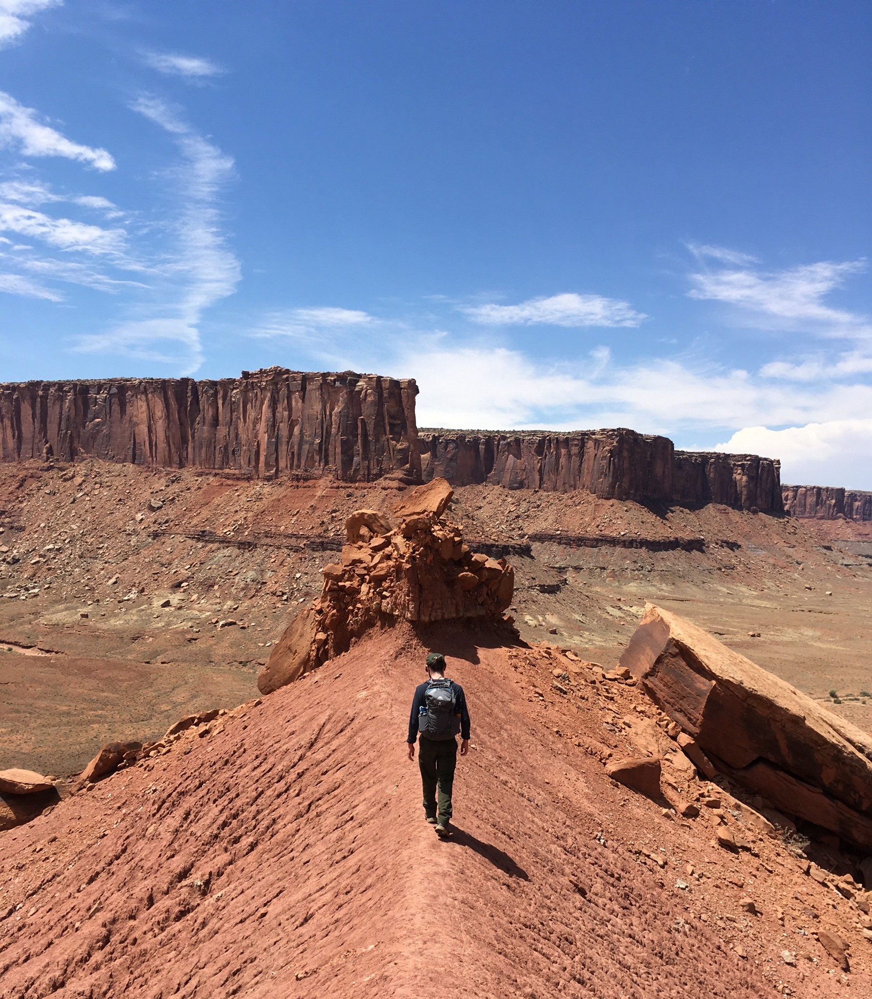
<p><i>Reaching this trail requires a permit to drive the 4WD White Rim Road or hiking down Alcove Spring Trail (11.2 mi/18.3 km roundtrip).</i><br /> <br /> Moses and Zeus are two prominent towers overlooking Taylor Canyon. This trail leads to their base.</p> <ul role="list">…
Mesa Arch Trail
~7 min drive
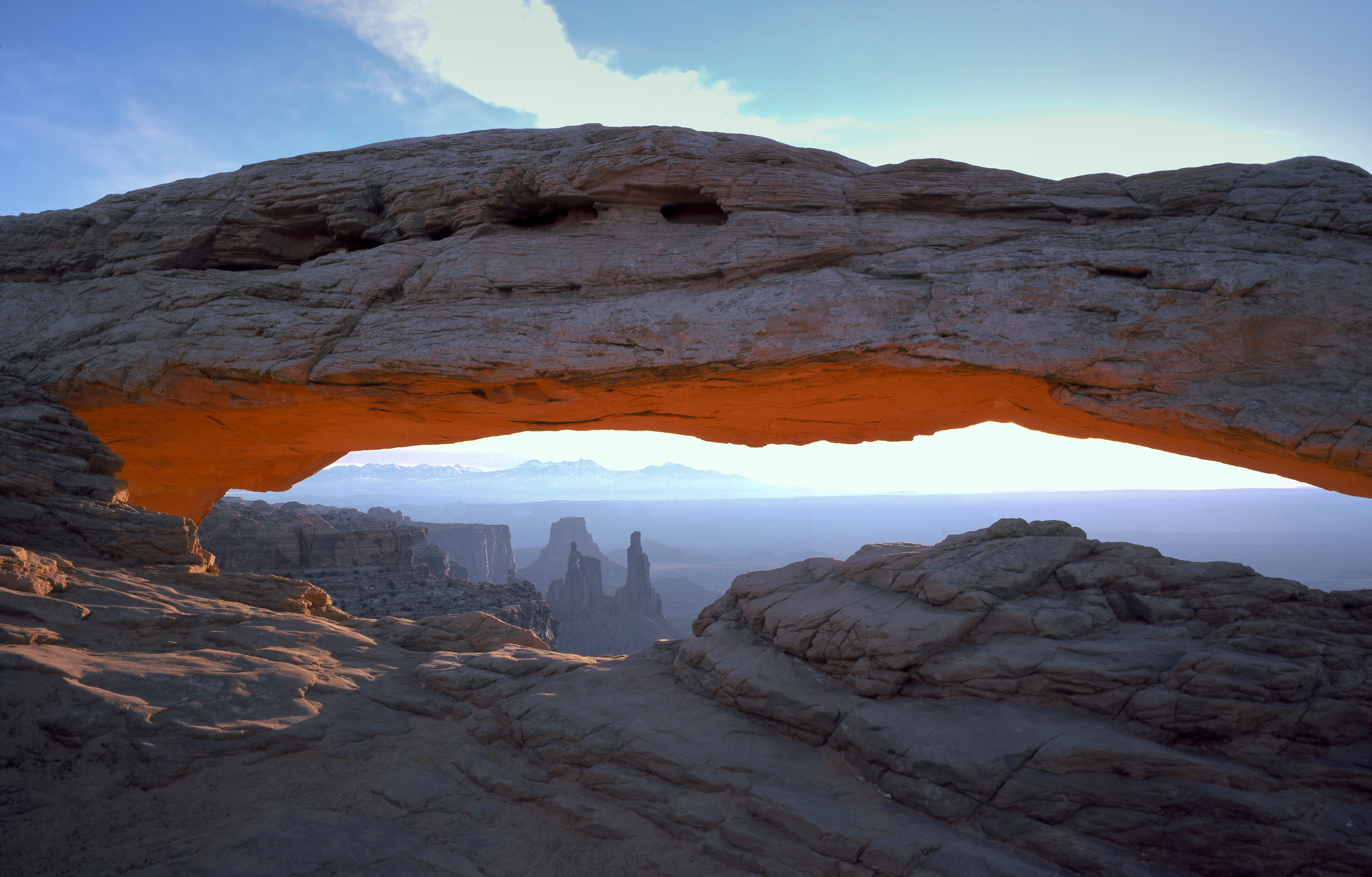
<p>Perched at the edge of the mesa top, this 27-foot-long (8.3 m) arch frames views of the canyon far below and the La Sal Mountains in the distance. The loop hike has slightly more elevation change at the beginning if you travel counter-clockwise. To reduce the number of stai…
Fort Bottom Trail
~9 min drive
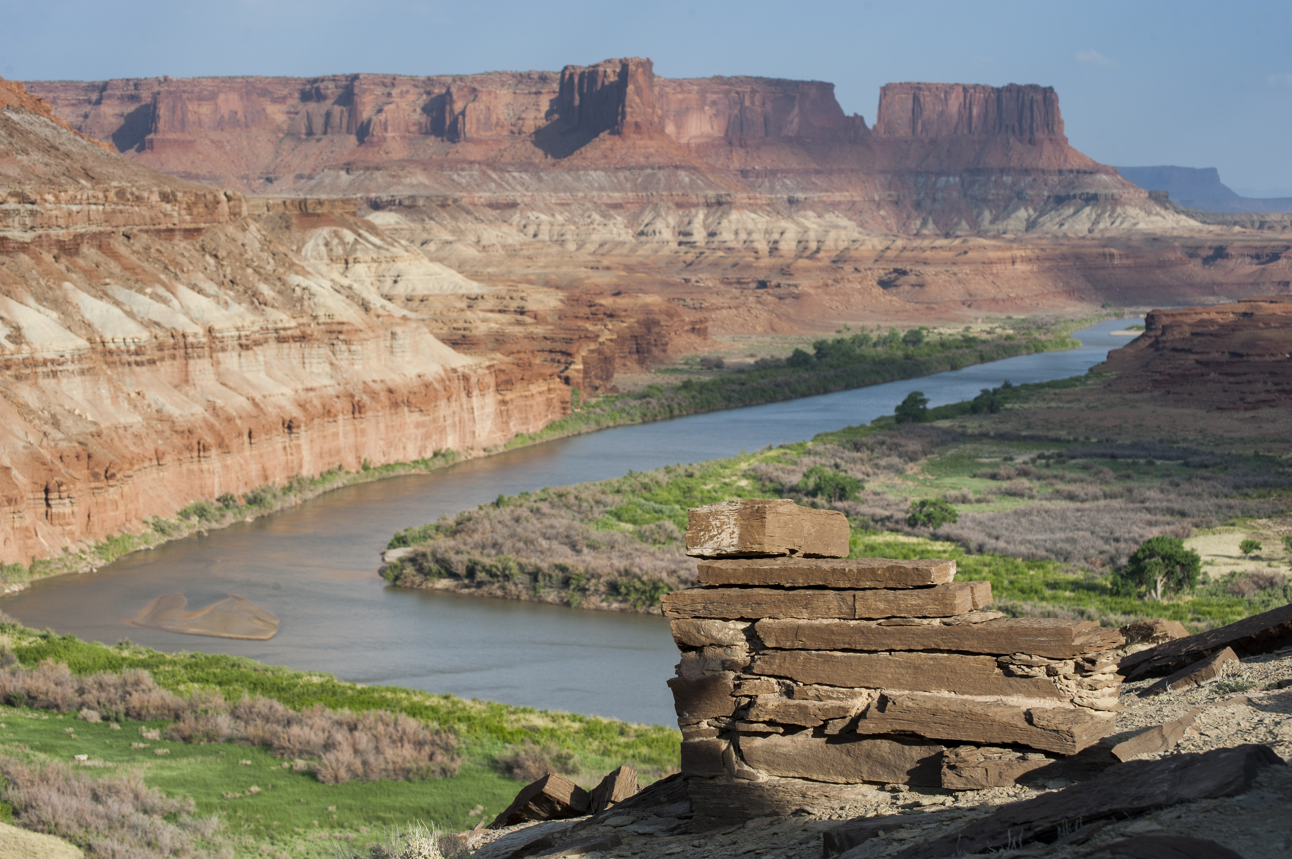
<p><i>Reaching this trail requires a permit to drive the 4WD White Rim Road. </i><br /> <br /> Fort Bottom Ruin is an ancient stone structure overlooking the Green River, built by Indigenous inhabitants of the Canyonlands area centuries ago. </p> <ul role="list"> <li aria-sets…
Lathrop Trail
~9 min drive
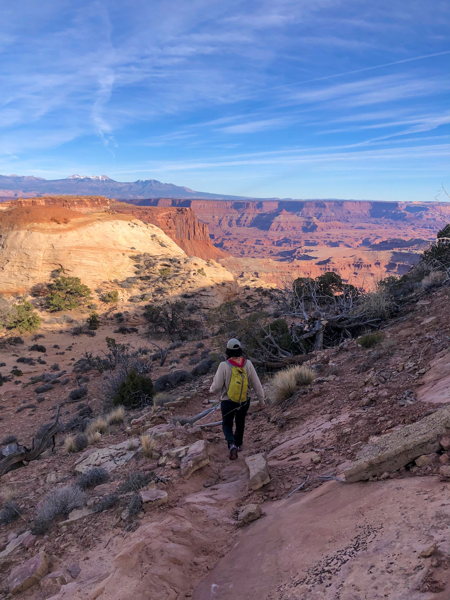
<p>The Lathrop Trail crosses a wide grassland on the mesa top, enjoys views of Colorado River, then descends into the canyon below. For a moderate trail option, hikers often turn around at the canyon rim. Continuing down to the White Rim Road means a strenuous hike back out.</…
Shafer Trail Viewpoint
~10 min drive
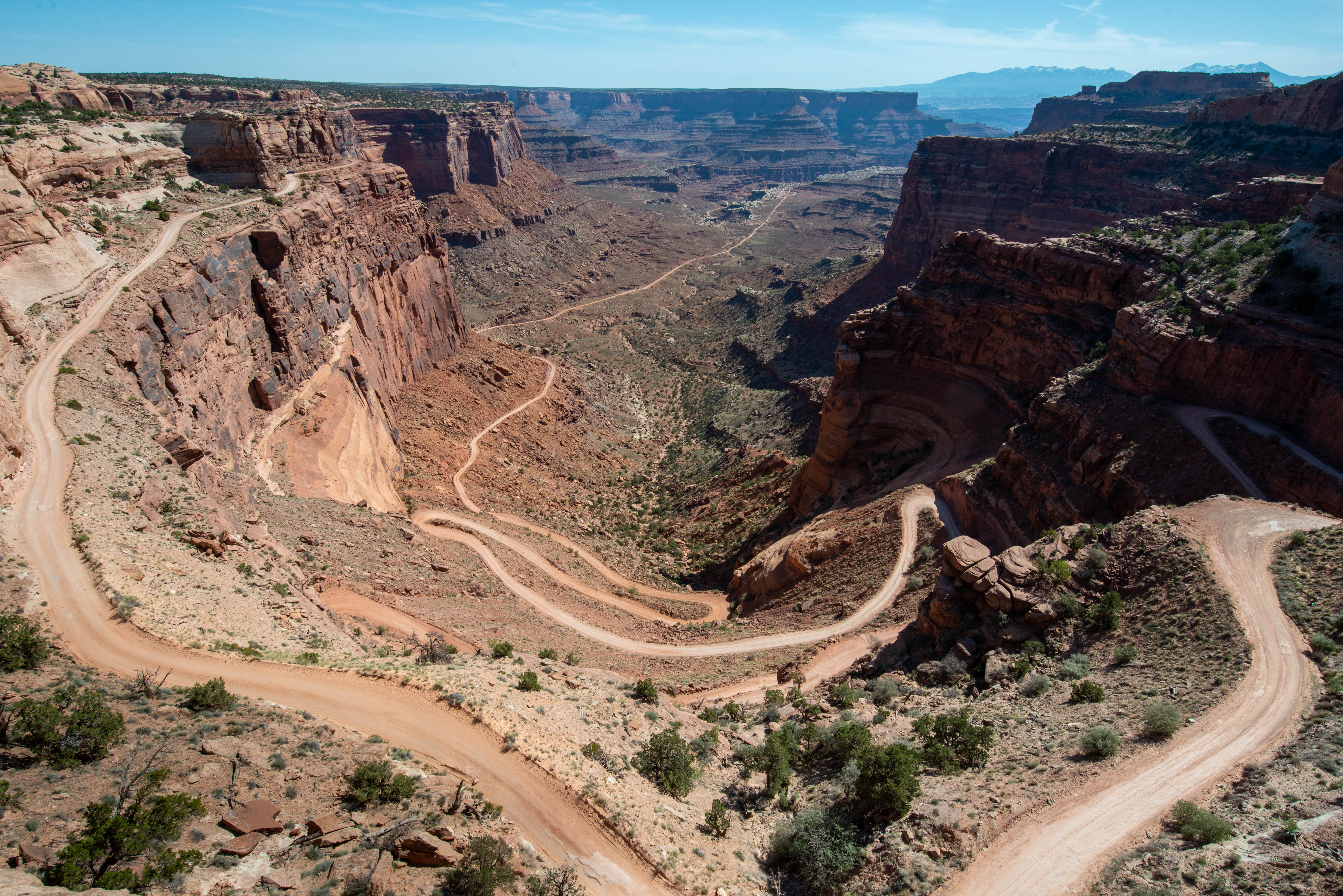
<p>A short, 0.9 mi (1.4 km) drive past the Island in the Sky visitor center leads to a breathtaking view of the Shafer Trail. <br /> <br /> The Shafer Trail at the Island in the Sky district of Canyonlands National Park is an iconic road that descends 1,500 feet (457 m) throug…
Murphy Loop Trail
~10 min drive
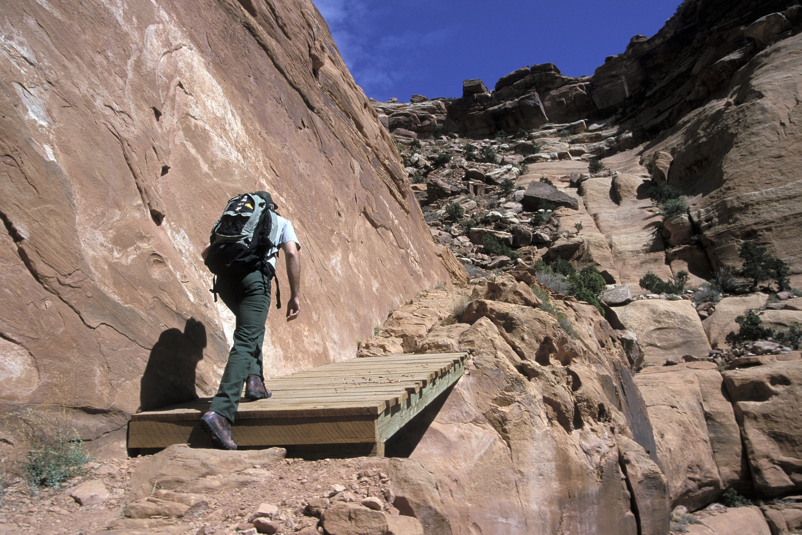
<p>A great full-day hike, the Murphy Trail offers outstanding views from atop the Murphy Hogback and White Rim Road. <em>This trail starts at the same trailhead as the moderate Murphy Point Overlook Trail. Pay close attention at the junction.</em></p> <ul> <li><strong>Roundtri…
Also worth it near here
Local operatorsoffering guided trips. You book directly with them — Roamze doesn’t take a cut.
Up The Creek Campground
Hiking business nearby (~23 mi away) — hasn't claimed their Roamze page yet
Moab Rim Campark
Hiking business nearby (~23 mi away) — hasn't claimed their Roamze page yet
Spanish Trail RV Park
Hiking business nearby (~24 mi away) — hasn't claimed their Roamze page yet