Sargent Mtn. - Bear Hollow
- 8.7 mi
- round trip
- 1,991 ft
- climb
- 9,429 ft
- high point
- Out and back
- route
Is Sargent Mtn. - Bear Hollow open right now?
Alert in the area
The Forest Service lists 2 alerts for Fishlake National Forest.
PST 66 Rock Canyon Trail Temporarily Closed
Agency alert covering Fishlake National Forest · USFS · Fishlake National Forest
TERMINATION OF STAGE 1 FIRE RESTRICTION ORDER
Agency alert covering Fishlake National Forest · Order 0408-26-10 · USFS · Fishlake National Forest
As of · Source: USFS · Fishlake National Forest. Agencies don't list every closure — check before you go.
Sargent Mtn. - Bear Hollow is a hard hike in the Beaver Ranger District of Fishlake National Forest in Utah, managed by the Forest Service. The route is an out-and-back that climbs from about 7,400 feet to roughly 9,400 feet, with a total elevation gain of about 2,000 feet over a distance of about 8.7 miles. The trail is open from June 1 through October 31, and it is a natural-surface route that allows both horses and bikes. That makes it a versatile option for riders and pack animals as well as hikers. Several other outings sit close by. Marysvale #02 West is about 0.4 miles away, and Deer Creek and the Silver King Walking Trail are within about 1.6 miles. For time on the water, the Sevier River is about 4.8 miles off.
Local outfitters
- Big Rock Candy Mountain5 mi away
- Cedar Mountain RV Resort36 mi away
Not on Roamze yet. Their page has how to reach them.
- Marysvale #02 WestHiking0.4 mi
- DEER CREEKHiking1.1 mi
- Silver King Walking TrailHiking1.6 mi
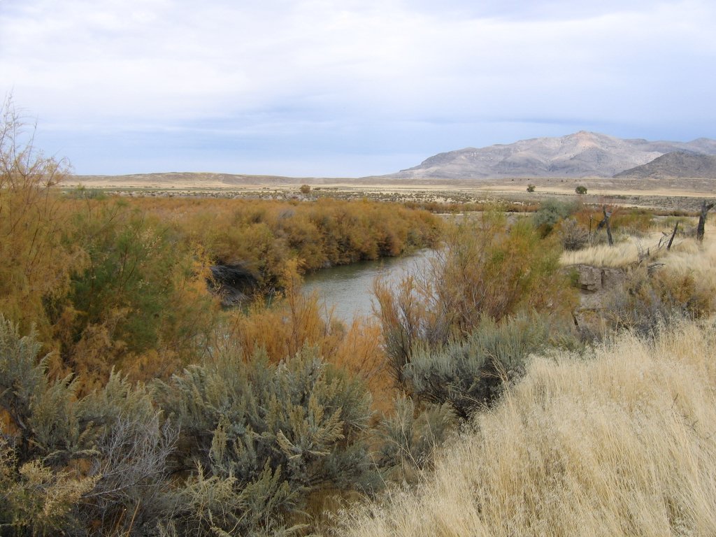 Sevier RiverCanoeingPhoto: w:Flickr user rcstanley, CC BY 2.0 (via Wikimedia Commons)4.8 mi
- Beaver Ranger DistrictLake fishing5.8 mi
- Castle Rock - Rec SiteCamping6.9 mi
- Clear CreekCanoeing7.6 mi
- Indian Creek Dispersed CampingCamping8.1 mi
Source: Roamze catalog (indexable pages within 10 miles, PostGIS distance)
 South Fork of North CreekHiking · ~11 min drivePhoto: Andrey Zharkikh, CC BY 2.0 (via Wikimedia Commons)
- Mud Lake - Blue LakeHiking · ~12 min drivePhoto: Andrey Zharkikh, CC BY 2.0 (via Wikimedia Commons)
 Centennial TrailHiking · ~13 min drivePhoto: The Dye Clan, CC BY-SA 3.0 (via Wikimedia Commons)
- Revenue GulchHiking · ~14 min drive
 Poison Creek - So Fk BullionHiking · ~13 min drivePhoto: Andrey Zharkikh, CC BY 2.0 (via Wikimedia Commons)
 Big Rock Candy Mountain TrailHiking · ~14 min drivePhoto: Ken Lund from Reno, NV, USA, CC BY-SA 2.0 (via Wikimedia Commons)
- Paiute Side Trail 01Hiking · ~13 min drivePhoto: The Dye Clan, CC BY-SA 3.0 (via Wikimedia Commons)
 Fremont State ParkHiking · ~13 min drivePhoto: Ken Lund — CC BY-SA 2.0 (via Flickr)
- Silver King Walking TrailHiking · ~3 min drive
- Skyline National Recreation TrHiking · ~14 min drivePhoto: Andrey Zharkikh, CC BY 2.0 (via Wikimedia Commons)
Also worth it near here

