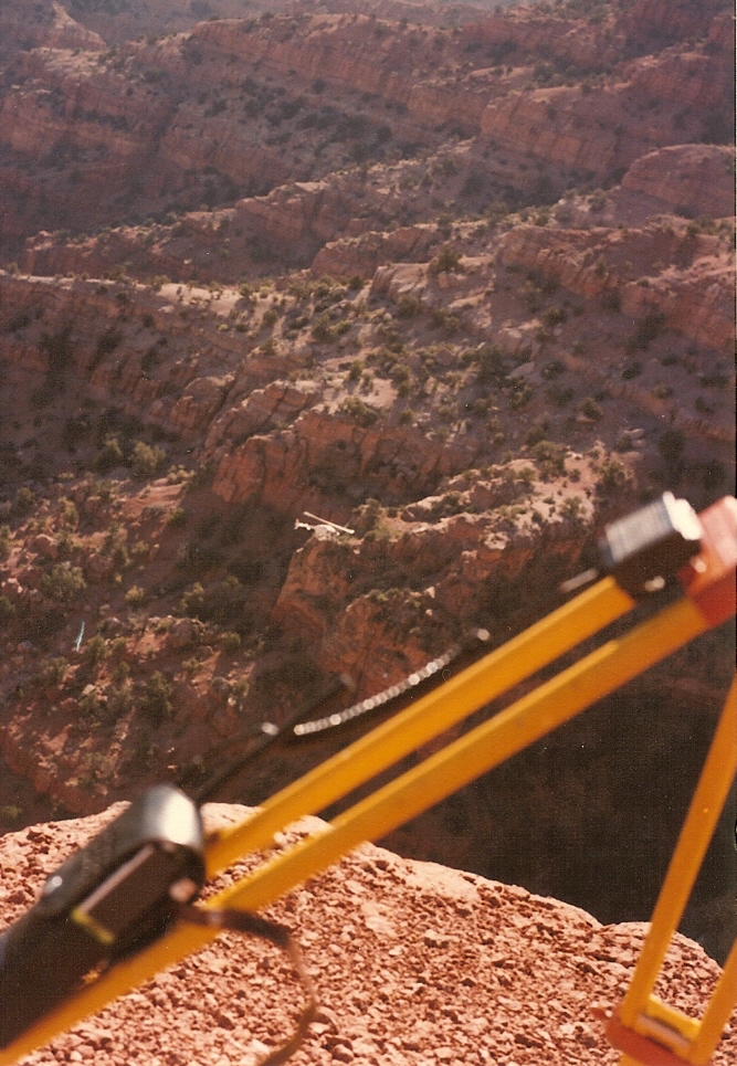
Sand Rock Ridge
- 10.6 mi
- round trip
- 5,591 ft
- climb
- 10,036 ft
- high point
- Out and back
- route
Is SAND ROCK RIDGE open right now?
Alert in the area
The Forest Service lists 2 alerts for Fishlake National Forest.
PST 66 Rock Canyon Trail Temporarily Closed
Agency alert covering Fishlake National Forest · USFS · Fishlake National Forest
TERMINATION OF STAGE 1 FIRE RESTRICTION ORDER
Agency alert covering Fishlake National Forest · Order 0408-26-10 · USFS · Fishlake National Forest
As of · Source: USFS · Fishlake National Forest. Agencies don't list every closure — check before you go.
Sand Rock Ridge is an out-and-back hike in the Fillmore Ranger District of Fishlake National Forest in Utah, managed by the Forest Service. The route is about 21 miles long, with a total elevation gain of 5,591 feet, and it reaches a high point of 10,036 feet. The climb is rolling, and the steepest stretch comes at about 4.7 miles in, where the grade reaches 33 percent. The trail starts at 5,639 feet and ends at the same elevation, so the total gain and loss are equal. The hike is rated expert, and it takes about 10 hours to complete. Pine Creek and Chalk Creek are both within about 2 miles, and the Moss Falls Trailhead trails for mountain biking sit a little farther out. Climbers can find Meadow Rappel Rock about 3.7 miles away.
Local outfitters
- Cedar Mountain RV Resort4 mi away
- Big Rock Candy Mountain29 mi away
Not on Roamze yet. Their page has how to reach them.
- PINE CREEKHiking1.7 mi
- CHALK CREEKHiking1.8 mi
- Trail 1433Mountain biking2 mi
- Trail 1440Mountain biking2.2 mi
- Tr 327Mountain biking2.4 mi
- Horse Hollow - CopleysHiking2.9 mi
- Meadow Rappel RockRock climbing3.7 mi
- Fishlake National ForestRock climbing3.7 mi
Source: Roamze catalog (indexable pages within 10 miles, PostGIS distance)
- PINE CREEKHiking · ~3 min drive
- CHALK CREEKHiking · ~3 min drive
- North Fork Chalk CreekHiking · ~6 min drive
- Horse Hollow - CopleysHiking · ~5 min drive
- Pine CreekHiking · ~5 min drive
- Shingle MillHiking · ~6 min drive
- Pine CreekHiking · ~5 min drive
- MEADOW CREEK SPURHiking · ~8 min drive
- Meadow CreekHiking · ~7 min drive
- Dry CreekHiking · ~6 min drive