Nizhoni
Campground
The next 6 weekends are full on Recreation.gov
Alert in the area
The Forest Service lists an alert for Monticello Ranger District.
Hazardous Road Conditions – Moab Monticello Ranger Districts 11.4.2026
Agency alert covering Monticello Ranger District · USFS · Monticello Ranger District
As of · Source: USFS · Monticello Ranger District. Agencies don't list every closure — check before you go.
Posey Canyon Trail is a 6.1-mile out-and-back hike in southern Utah, set within the Monticello Ranger District of Manti-La Sal National Forest and the Bears Ears National Monument, which the Bureau of Land Management manages. The trail rises from about 6,084 feet to a high point of 6,507 feet, with a total elevation gain of 835 feet over the course of the round trip. The steepest stretch comes at about 1.7 miles in, where the grade reaches 8 percent. The most comfortable months for a visit are typically May and September. Typical averages from a nearby weather station in Blanding show May highs around 72°F and September highs around 78°F, while July averages climb to about 89°F and winter highs sit near 40°F. The hike takes about 2.5 hours to complete. Posey Canyon lies just 0.4 miles away, and Chippean Ridge Trail is about 2.7 miles off. Climbers can head to the Blanding climbing area, about 7 miles away, and Nizhoni campground is roughly 8.4 miles from the trail.
Nizhoni
Campground
Kung Pao
Restaurant
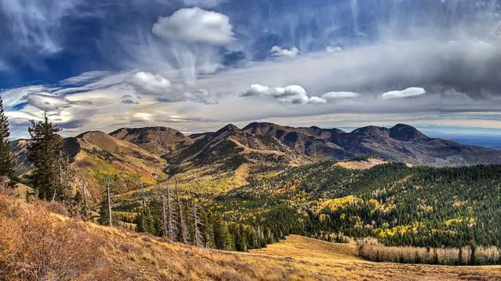
 If it rainsDaBler, CC BY-SA 3.0 · Wikimedia Commons
Places © OpenStreetMap contributors · Photos: DaBler, CC BY-SA 3.0 (commons)
More in MonticelloNot on Roamze yet. Their page has how to reach them.
 Cream Pots (Sz)HikingPhoto: Ken Lund from Reno, Nevada, USA, CC BY-SA 2.0 (via Wikimedia Commons)3.5 mi
 BlandingRock climbingPhoto: W. Bulach, CC BY-SA 4.0 (via Wikimedia Commons)7.1 mi
 NizhoniCampingPhoto: Recreation.gov (RIDB) / public domain8.4 mi
Source: Roamze catalog (indexable pages within 10 miles, PostGIS distance)
Cream Pots (Sz)Hiking · ~6 min drivePhoto: Ken Lund from Reno, Nevada, USA, CC BY-SA 2.0 (via Wikimedia Commons)Also worth it near here
Best months: March–June and September–October. Best months have typical highs of 55–85 °F, lows of 30 °F or warmer (32 °F where the station doesn't record snow), at most one snowy day and no more than 12 wet days.
Jan
40° / 22°
6 wet
Feb
45° / 26°
6 wet
Mar
55° / 33°
6 wet
Apr
62° / 38°
5 wet
May
72° / 46°
5 wet
Jun
84° / 56°
3 wet
Jul
89° / 62°
7 wet
Aug
86° / 60°
8 wet
Sep
78° / 53°
6 wet
Oct
65° / 42°
5 wet
Nov
51° / 31°
5 wet
Dec
40° / 23°
6 wet
Typical high / low (°F) and days with rain or snow, 1991–2020. Measured at Blanding, UT, 13.8 mi away at 6,032 ft. This station doesn't record snowfall. Source: NOAA NCEI U.S. Climate Normals 1991–2020.
Map and trail data © OpenStreetMap contributors

