South Campground
Campground
Campground · 0.7 mi from the trail
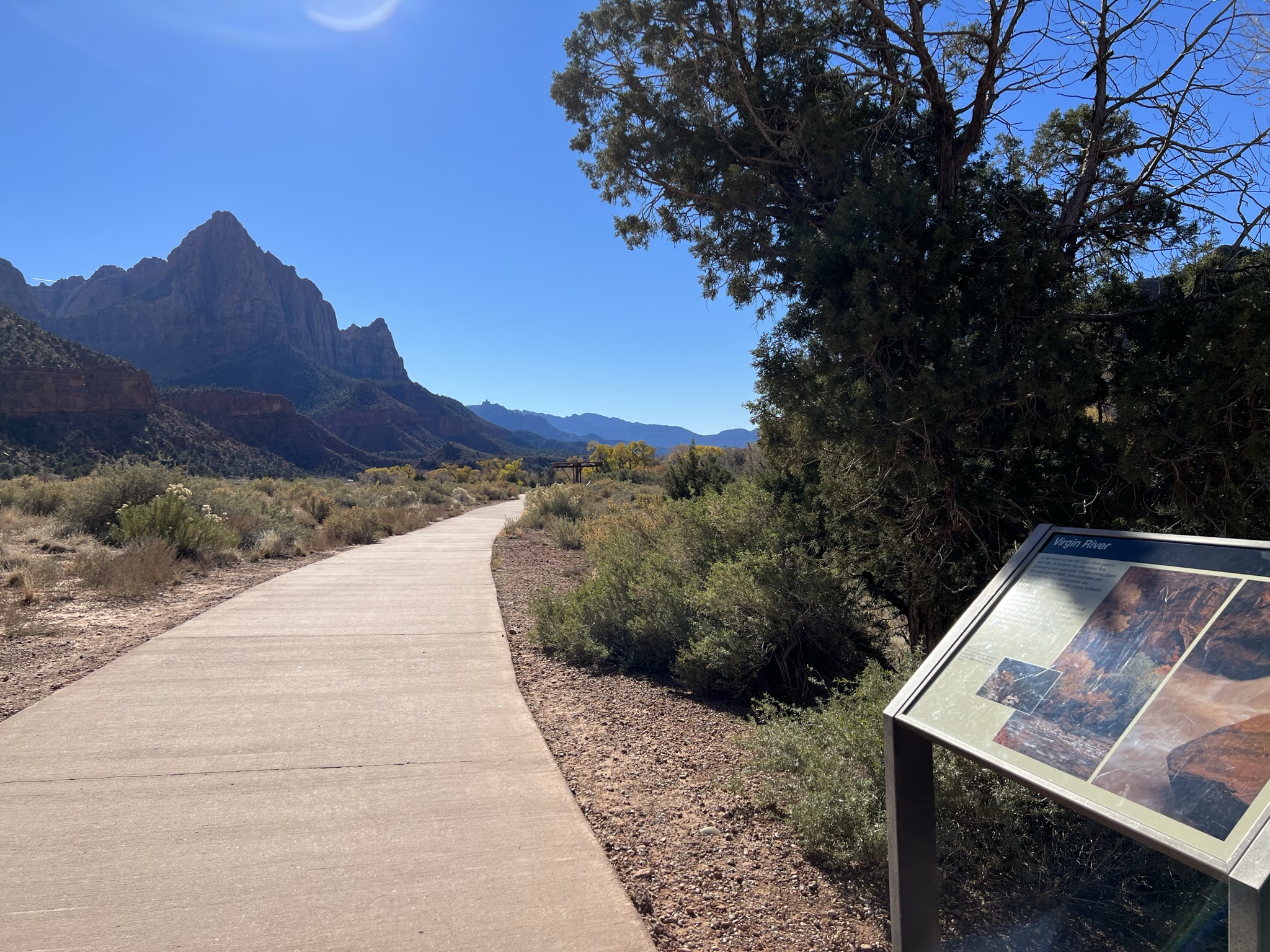 Photo: NPS/Abi Farish
Closure in the area
There's a closure order in Zion National Park. It doesn't name Pa'rus - Virgin River Wayside, so check the source for the area it covers.
Watchman Trail closed
Park closure covering Zion National Park · NPS · Zion National Park
Toxic cyanobacteria in rivers, streams, and pools
Park alert covering Zion National Park · NPS · Zion National Park
Large vehicle restrictions on Zion-Mt. Carmel Highway
Park alert covering Zion National Park · NPS · Zion National Park
As of · Source: NPS · Zion National Park. Agencies don't list every closure — check before you go.
Virgin River Learn In July of 2020, the Utah Department of Environmental Quality’s (DEQ) Division of Water Quality (DWQ) and the National Park Service (NPS) detected toxic cyanobacteria algal blooms in multiple areas of the North Fork of the Virgin River. Cyanobacteria are a natural part of aquatic environments, but can be harmful to water quality and aquatic life if they produce toxins. The colonies of cyanobacteria found in the Virgin River produce the cyanotoxin called anatoxin-a, which can be harmful to humans and dogs. Exposure can occur through ingestion, inhalation, skin contact, and eye contact with toxin-contaminated water. Zion National Park continues to monitor monthly for the presence of harmful cyanobacteria and cyanotoxin's. Learn more about the current warning and health watch advisories in effect. Look Colonies of cyanobacteria in the North Fork of the Virgin River, North Creek, and La Verkin Creek can be yellow, tan, green, brown, or black in color. These colonies can be hard to see because some blooms grow on or near the bottom of water bodies in the benthic zone. You cannot tell if a water body has a harmful bloom by looking at it. If a current warning or health watch advisory is in effect: • Do not swim or put your head under the water anywhere in Zion National Park. Children are especially vulnerable to cyanotoxins, so be mindful of where they go if you are near a body of water like the Virgin River. • Keep dogs on a leash in and out of the water. Dogs are vulnerable to cyanotoxin exposure because they may bite or accidentally eat/drink material from potentially toxic algal mats. • Do not drink any water from streams or rivers in Zion National Park. There is no known recreational water filtration method that is effective at removing cyanotoxins. • Contact the Utah Poison Control Center at (800) 222-1222 with concerns about cyanotoxin poisoning and call 911 in the event of a medical emergency. Symptoms can include, but are not limited to, skin rash, salivation, drowsiness, tingling, burning, numbness, pain, incoherent speech, seizures, vomiting, and diarrhea. Connect Algae, cyanobacteria, and their toxins can harm ecosystems including people, animals, and local environments. There are many factors that influence the growth of harmful algae and cyanobacteria in water, such as nutrient levels, temperature, low flow during a drought, and conditions like pH or turbidity, as well as the rise of deep ocean water. Are any of these factors influenced by humans?
South Campground
Campground
 If it rainsDon Graham from Redlands, CA, USA - God bless it!, CC BY-SA 2.0 · Wikimedia Commons
Places © OpenStreetMap contributors · Photos: Don Graham from Redlands, CA, USA - God bless it!, CC BY-SA 2.0 (commons)
More in HurricaneNot on Roamze yet. Their page has how to reach them.
Best months: February–May and October–November. Best months have typical highs of 55–85 °F, lows of 30 °F or warmer (32 °F where the station doesn't record snow), at most one snowy day and no more than 12 wet days.
Jan
54° / 30°
7 wet
Feb
58° / 34°
8 wet
Mar
66° / 39°
8 wet
Apr
73° / 44°
6 wet
May
83° / 53°
4 wet
Jun
95° / 62°
3 wet
Jul
100° / 70°
5 wet
Aug
98° / 69°
6 wet
Sep
91° / 61°
5 wet
Oct
78° / 49°
5 wet
Nov
64° / 37°
5 wet
Dec
53° / 29°
6 wet · 1 snow
Typical high / low (°F) and days with rain or snow, 1991–2020. Measured at Zion Np, UT, 0.3 mi away at 4,038 ft. Source: NOAA NCEI U.S. Climate Normals 1991–2020.
HIKE
Pa'rus - Changing Landscapes
Next door
Changing Landscapes Learn Rock layers of Zion Canyon are arranged in a way that allows water to travel through them. The desert sand dunes that formed the Navajo Sandstone layer contain wind-blown sand particles that have space in-between them. The ancient floodplain that…
 Photo: Ken Lund from Reno, Nevada, USA, CC BY-SA 2.0 (via Wikimedia Commons)
Pa'rus Trail
Next door
1.58-mile out-and-back trail in Utah with 65 ft of elevation gain.
 Photo: Ken Lund from Reno, Nevada, USA, CC BY-SA 2.0 (via Wikimedia Commons)
Many Pools Hike
~6 min drive
2.08-mile out-and-back hike in Utah with 858 ft gain and 6,141 ft max elevation.
HIKE
Sand Bench Trail
~3 min drive
8.26-mile out-and-back hike in Utah with 1,915 ft elevation gain/loss.
HIKE
Chinle Trail
~7 min drive
16.04-mile out-and-back hike in Utah with 1,809 ft gain/loss.
HIKE
Pa'rus - The Master Sculptor
Next door
The Master Sculptor Learn The power of wind, water, and gravity have shaped Zion Canyon over time. Erosion and weathering also play a role forming natural arches in the park. A natural arch is formed when deep cracks penetrate into a layer of sandstone. Erosion wears away…
 Photo: yashima — CC BY-SA 2.0 (via Flickr)
Watchman Trail
~1 min drive
1.77-mile loop trail in Utah with 654 ft gain.
HIKE
Nung’wu Poa (Paiute) Trail
~5 min drive
2.18-mile out-and-back trail in Utah with 890 ft gain and loss.
HIKE
East Rim Trail
~9 min drive
Moderate 10.6-mile rim trail with 2,267 ft gain and scenic overlook views.
HIKE
Pa'rus - A Living Canyon
~1 min drive
A Living Canyon Learn Zion's diverse topography leads to a diversity of habitats and species. Along the Virgin River, the riparian area is home to plants and animals that require an abundant supply of water. Fremont cottonwood trees (Populus fremontii) require a constant…


