Nizhoni
Campground
The next 7 weekends are full on Recreation.gov
Alert in the area
The Forest Service lists an alert for Monticello Ranger District.
Hazardous Road Conditions – Moab Monticello Ranger Districts 11.4.2026
Agency alert covering Monticello Ranger District · USFS · Monticello Ranger District
As of · Source: USFS · Monticello Ranger District. Agencies don't list every closure — check before you go.
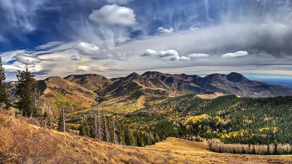
Maverick Point is an easy, out-and-back hike in the Monticello Ranger District of Manti-La Sal National Forest in Utah, about 1.5 miles long with a total climb of 604 feet from a low point near 7,400 feet to a high point of 8,022 feet. The trail is managed by the Forest Service and is open year-round. Horses are allowed, and bikes are not. The route is on natural surface, so it suits a horseback ride as well as a day on foot. For comfortable weather, late spring and early fall are the sweet spots. Typical averages from a nearby weather station in Monticello run from highs around 67°F with lows near 39°F in May to highs around 74°F with lows near 46°F in September. That station sits about 936 feet lower than the high point, so temperatures on the ridge run a little cooler. Vega Creek Trail is about 1.6 miles away, and Gooseberry Trail is about 2 miles off. Chippean Canyon Trail (452) and Horse Mountain Trail lie within about 3.5 miles.
Nizhoni
Campground
 If it rainsDaBler, CC BY-SA 3.0 · Wikimedia Commons
Places © OpenStreetMap contributors · Photos: DaBler, CC BY-SA 3.0 (commons)
More in MonticelloNot on Roamze yet. Their page has how to reach them.
 NizhoniCampingPhoto: Recreation.gov (RIDB) / public domain9.4 mi
Source: Roamze catalog (indexable pages within 10 miles, PostGIS distance)
Best months: May–October. Best months have typical highs of 55–85 °F, lows of 30 °F or warmer (32 °F where the station doesn't record snow), at most one snowy day and no more than 12 wet days.
Jan
37° / 17°
Feb
41° / 20°
Mar
50° / 26°
Apr
58° / 31°
May
67° / 39°
Jun
79° / 48°
Jul
84° / 55°
Aug
81° / 54°
Sep
74° / 46°
Oct
62° / 36°
Nov
48° / 26°
Dec
38° / 17°
Typical high / low (°F) and days with rain or snow, 1991–2020. Measured at Monticello #2, UT, 19.1 mi away at 7,086 ft. The station sits about 900 ft lower than this place, so expect it a little cooler here. This station doesn't record snowfall. Source: NOAA NCEI U.S. Climate Normals 1991–2020.

