Lake Fork Trail
- 1.0 mi
- round trip
- 246 ft
- climb
- 8,274 ft
- high point
- Out and back
- route
- May–Sep
- best months
Is Lake Fork Trail open right now?
Alert in the area
The Forest Service lists 2 alerts for Ashley National Forest.
Anvil Draw Boat Ramp Temporary Closure
Agency alert covering Ashley National Forest · Order 0401-26-01-03 · USFS · Ashley National Forest
Flaming Gorge Reservoir Water Levels
Agency alert covering Ashley National Forest · USFS · Ashley National Forest
As of · Source: USFS · Ashley National Forest. Agencies don't list every closure — check before you go.
Lake Fork Trail is a short hike in the Roosevelt Ranger District of Ashley National Forest in Utah, managed by the Forest Service. Rated easy, it runs 1 mile each way, for a 2-mile out-and-back. The route starts at about 8,100 feet and tops out near 8,270 feet. It gains about 200 feet one way, or about 250 feet for the full round trip. Most of the climbing comes early. The steepest stretch is right near the start, at around a 6 percent grade, so it is a gentle walk overall. Expect to retrace the same path on the way back. Summer is the most comfortable time to go. July and August bring typical average highs around 77°F and lows near 48°F at a nearby weather station at almost the same elevation. Moon Lake campground and the Brown Duck A Trail both sit about 0.1 mile away, which makes it easy to pair this walk with an overnight stay or a longer outing. The Lake Fork and Fish Creek Trail hikes are both within about 1.5 miles.
 Moon LakeCampingPhoto: damonras — CC BY 2.0 (via Flickr)0.1 mi
- Brown Duck A TrailHiking0.1 mi
- Lake ForkHiking1.1 mi
- FISH CREEKHiking1.4 mi
- Fish Creek TrailHiking1.5 mi
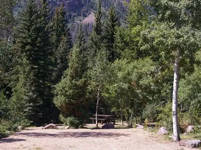 Rock Creek Group (UT)CampingPhoto: Recreation.gov (RIDB) / public domain5.9 mi
- Rock Creek Group CampgroundCamping6 mi
- Yellowstone CreekCanoeing8.9 mi
Source: Roamze catalog (indexable pages within 10 miles, PostGIS distance)
- Brown Duck A TrailHiking · Next door
- FISH CREEKHiking · ~2 min drive
- Brown Duck TrailHiking · ~3 min drive
- ATWINE CUTOFFHiking · ~5 min drive
- Lake ForkHiking · ~2 min drive
- Fish Creek TrailHiking · ~3 min drive
- Center Park TrailHiking · ~7 min drive
- Toquer LakeHiking · ~7 min drive
- Dry Canyon TrailHiking · ~2 min drive
- DRY CANYONHiking · ~9 min drive
Best time to visit Lake Fork Trail
Best months: May–September. Best months have typical highs of 55–85 °F, lows of 30 °F or warmer (32 °F where the station doesn't record snow), at most one snowy day and no more than 12 wet days.
Jan
31° / 7°
Feb
34° / 12°
Mar
41° / 18°
Apr
49° / 24°
May
59° / 33°
Jun
69° / 40°
Jul
77° / 48°
Aug
77° / 49°
Sep
67° / 41°
Oct
55° / 31°
Nov
40° / 22°
Dec
31° / 11°
Typical high / low (°F) and days with rain or snow, 1991–2020. Measured at Moon Lake, UT, 1.2 mi away at 8,125 ft. This station doesn't record snowfall. Source: NOAA NCEI U.S. Climate Normals 1991–2020.
Map and trail data © OpenStreetMap contributors
