Dry Canyon
- 6.4 mi
- round trip
- 3,552 ft
- climb
- 11,250 ft
- high point
- Out and back
- route
Is DRY CANYON open right now?
Alert in the area
The Forest Service lists 2 alerts for Ashley National Forest.
Anvil Draw Boat Ramp Temporary Closure
Agency alert covering Ashley National Forest · Order 0401-26-01-03 · USFS · Ashley National Forest
Flaming Gorge Reservoir Water Levels
Agency alert covering Ashley National Forest · USFS · Ashley National Forest
As of · Source: USFS · Ashley National Forest. Agencies don't list every closure — check before you go.
Dry Canyon is a long, steep hike in Utah's Ashley National Forest, within the Duchesne Ranger District. The route is an out-and-back that starts and ends at about 8,323 feet, climbs to a high point of 11,250 feet, and totals about 12.7 miles with a total elevation gain of 3,552 feet. It is rated hard, and the climb is front-loaded, with the steepest stretch at about 26% grade near 5.8 miles. The Forest Service manages the land, and the hike's length and climb are based on elevation samples along the mapped route. The trip takes about six hours. The McAfee Bypass Trail and Stillwater Trail both lie within about a mile and a half of the start. Rock Creek Group Campground is about 3 miles away, and Corral Creek Trail is about 3 miles out.
Local outfitters
- Midway Adventure Company48 mi away
- Rocky Mountain Outfitters49 mi away
Not on Roamze yet. Their page has how to reach them.
- McAfee Bypass TrailHiking1.3 mi
- Stillwater TrailHiking1.4 mi
- StillwaterHiking1.9 mi
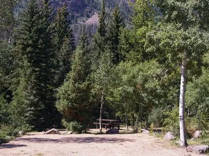 Rock Creek Group (UT)CampingPhoto: Recreation.gov (RIDB) / public domain3 mi
- Rock Creek Group CampgroundCamping3 mi
- Corral Creek TrailHiking3 mi
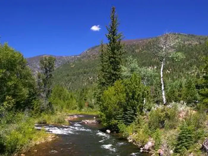 Miners GulchCampingPhoto: Recreation.gov (RIDB) / public domain3.6 mi
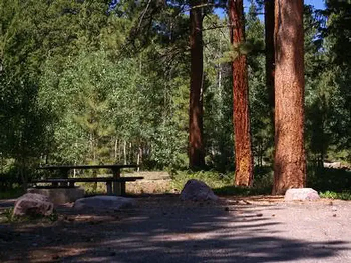 YellowpineCampingPhoto: Recreation.gov (RIDB) / public domain4.4 mi
Source: Roamze catalog (indexable pages within 10 miles, PostGIS distance)
- Dry CanyonHiking · ~2 min drive
- McAfee Bypass TrailHiking · ~2 min drive
- Corral Creek TrailHiking · ~5 min drive
- Brown Duck TrailHiking · ~9 min drive
- Stillwater TrailHiking · ~6 min drive
- StillwaterHiking · ~3 min drive
- Fish Creek TrailHiking · ~10 min drive
- Center Park TrailHiking · ~16 min drive
- CORRAL CREEKHiking · ~8 min drive
- Dry Canyon TrailHiking · ~8 min drive
