Highline Cutoff Trail
- 0.7 mi
- round trip
- 325 ft
- climb
- 10,447 ft
- high point
- Out and back
- route
Is Highline Cutoff Trail open right now?
Alert in the area
The Forest Service lists 2 alerts for Ashley National Forest.
Anvil Draw Boat Ramp Temporary Closure
Agency alert covering Ashley National Forest · Order 0401-26-01-03 · USFS · Ashley National Forest
Flaming Gorge Reservoir Water Levels
Agency alert covering Ashley National Forest · USFS · Ashley National Forest
As of · Source: USFS · Ashley National Forest. Agencies don't list every closure — check before you go.
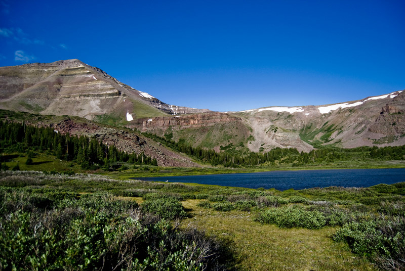
The Highline Cutoff Trail is a short, easy out-and-back hike in Utah's High Uintas Wilderness, within the Roosevelt Ranger District of Ashley National Forest. The Forest Service manages the land, and the trail sits inside designated wilderness, which makes it a compact outing for anyone already exploring this remote corner of the Uintas. The route is about 1.4 miles long, with a total elevation gain of 325 feet. The climb is gentle overall, but the steepest stretch comes at about 0.39 miles in, where the grade reaches 16 percent. The trail starts near 10,436 feet and reaches a high point of 10,447 feet before returning to the starting elevation. The trip takes about half an hour, so it works well as a quick addition to a longer day in the area. The Highline Cutoff lies about 0.6 miles away, and Rainbow Lake Trail is about 1.4 miles off. Kidney Lakes and the Fox-Queant Pass Trail are both within about 3 miles.
Local outfitters
- Dutch John Resort At Flaming Gorge45 mi away
Not on Roamze yet. Their page has how to reach them.
- HIGHLINE CUTOFFHiking0.6 mi
- Rainbow Lake TrailHiking1.4 mi
- Kidney LakesHiking2.7 mi
- SHALE-FOX CUTOFFHiking2.8 mi
- Fox-Queant Pass TrailHiking2.8 mi
- Davis LakesHiking3.8 mi
- Kabell LakeRiver fishing8 mi
- Henrys ForkRiver fishing9.3 mi
Source: Roamze catalog (indexable pages within 10 miles, PostGIS distance)
 Chain Lakes-Atwood TrailHiking · ~7 min drivePhoto: John Sowell, CC BY-SA 4.0 (via Wikimedia Commons)
- GunsightHiking · ~9 min drivePhoto: John Sowell, CC BY-SA 4.0 (via Wikimedia Commons)
- Davis LakesHiking · ~7 min drive
- West Fork WhiterocksHiking · ~10 min drive
- South Kings PeakHiking · ~16 min drive
- HIGHLINE CUTOFFHiking · ~1 min drive
- Divide LakeHiking · ~8 min drive
- Dome Peak Cutoff TrailHiking · ~12 min drive
- Dome PeakHiking · ~16 min drive
- Rainbow Lake TrailHiking · ~2 min drive
Map and trail data © OpenStreetMap contributors
