Dome Peak Cutoff Trail
- 1.5 mi
- round trip
- 672 ft
- climb
- 12,546 ft
- high point
- Out and back
- route
Is Dome Peak Cutoff Trail open right now?
Alert in the area
The Forest Service lists 2 alerts for Ashley National Forest.
Anvil Draw Boat Ramp Temporary Closure
Agency alert covering Ashley National Forest · Order 0401-26-01-03 · USFS · Ashley National Forest
Flaming Gorge Reservoir Water Levels
Agency alert covering Ashley National Forest · USFS · Ashley National Forest
As of · Source: USFS · Ashley National Forest. Agencies don't list every closure — check before you go.
Dome Peak Cutoff Trail is a 1.48-mile moderate hike in Utah's High Uintas Wilderness, within the Roosevelt Ranger District of Ashley National Forest. The Forest Service manages the land, and the trail is an out-and-back that climbs about 672 feet from a low point of 11,881 feet to a high of 12,546 feet. The route is a short, steady climb. The full trip is about 3 miles, and the trail's shape makes it a natural pairing with other outings in the surrounding wilderness. Summer is the most comfortable time to go. Typical averages from a nearby weather station show July highs around 75°F and lows near 45°F, while September cools to highs in the mid-60s. Gunsight and Henrys Fork Basin are both within about 2 miles. Chain Lakes-Atwood Trail is roughly 3 miles away, and Red Castle Lake, a fishing spot, is about 5 miles off.
 GunsightHikingPhoto: John Sowell, CC BY-SA 4.0 (via Wikimedia Commons)1.8 mi
- Henrys Fork BasinHiking1.9 mi
- Chain Lakes-Atwood TrailHikingPhoto: John Sowell, CC BY-SA 4.0 (via Wikimedia Commons)2.9 mi
- Red Castle LakeLake fishing5.2 mi
 Scout LakeRock climbingPhoto: John Sowell, CC BY-SA 4.0 (via Wikimedia Commons)7.6 mi
- Picturesque WallRock climbingPhoto: John Sowell, CC BY-SA 4.0 (via Wikimedia Commons)7.6 mi
- Castle LakeRock climbingPhoto: John Sowell, CC BY-SA 4.0 (via Wikimedia Commons)7.6 mi
- Yellowstone CreekCanoeing7.8 mi
Source: Roamze catalog (indexable pages within 10 miles, PostGIS distance)
- GunsightHiking · ~3 min drivePhoto: John Sowell, CC BY-SA 4.0 (via Wikimedia Commons)
- Chain Lakes-Atwood TrailHiking · ~5 min drivePhoto: John Sowell, CC BY-SA 4.0 (via Wikimedia Commons)
- Henrys Fork BasinHiking · ~3 min drive
- Smith Fork PassHiking · ~5 min drive
- Highline Cutoff TrailHiking · ~12 min drive
- Little East Fork Blacks Fork TrailHiking · ~12 min drive
- East Red CastleHiking · ~9 min drive
- West Fork Beaver TrailHiking · ~9 min drive
- HIGHLINE CUTOFFHiking · ~12 min drive
- Painter PeakHiking · ~15 min drive
Also worth it near here
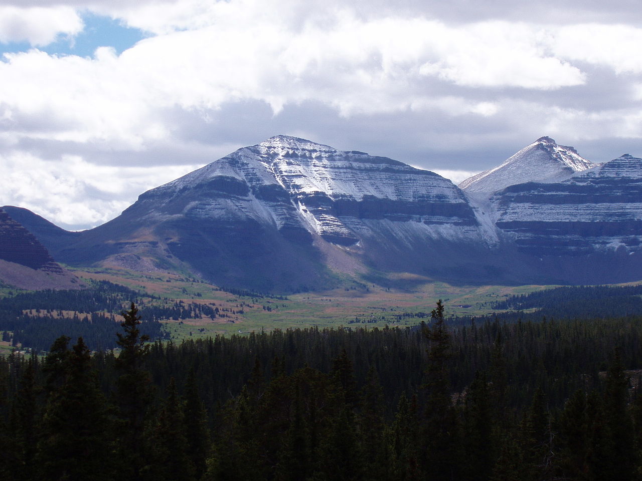 Kings PeakSummit · ~1 min drivePhoto: Hyrum K. Wright, CC BY-SA 3.0 (via Wikimedia Commons)
- Cliff LakeLake fishing · ~3 min drive
- Picturesque WallRock climbing · ~13 min drivePhoto: John Sowell, CC BY-SA 4.0 (via Wikimedia Commons)
- Yellowstone CreekCanoeing · ~13 min drive
- Henrys ForkRiver fishing · ~15 min drive
Map and trail data © OpenStreetMap contributors
