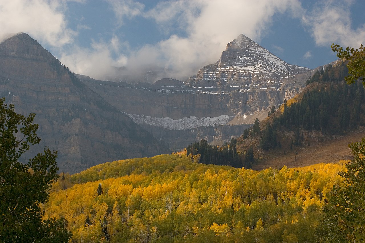
Davis Lakes
- 8.7 mi
- round trip
- 625 ft
- climb
- 11,213 ft
- high point
- Out and back
- route
Is Davis Lakes open right now?
Alert in the area
The Forest Service lists 2 alerts for Ashley National Forest.
Anvil Draw Boat Ramp Temporary Closure
Agency alert covering Ashley National Forest · Order 0401-26-01-03 · USFS · Ashley National Forest
Flaming Gorge Reservoir Water Levels
Agency alert covering Ashley National Forest · USFS · Ashley National Forest
As of · Source: USFS · Ashley National Forest. Agencies don't list every closure — check before you go.
Davis Lakes is a hard hike in the High Uintas Wilderness, part of the Roosevelt Ranger District of Ashley National Forest in Utah. The Forest Service manages the land, and the trail is an out-and-back route of about 8.7 miles with a one-way elevation gain of 625 feet, from a low point of about 10,763 feet to a high of about 11,213 feet. The trail is natural-surface and allows horses, but bikes are not permitted. That makes it a good fit for riders on horseback or on foot, and the route stays within the wilderness. Several other destinations sit close by. Divide Lake is about 1.2 miles away, and Kidney Lakes and the Fox-Queant Pass Trail are each about 1.7 miles off. For fishing, Kabell Lake is roughly 5.9 miles away.
Local outfitters
- Dutch John Resort At Flaming Gorge42 mi away
Not on Roamze yet. Their page has how to reach them.
Keep exploring — more trails worth the drive
 Photo: John Sowell, CC BY-SA 4.0 (via Wikimedia Commons)
Chain Lakes-Atwood Trail
~13 min drive
32.5-mile out-and-back hike in Utah with 5,339 ft elevation gain and loss.
HIKE
Divide Lake
~2 min drive
3.00-mile out-and-back trail to Divide Lake in Utah with 500 ft of elevation gain.
HIKE
Kidney Lakes
~3 min drive
Kidney Lakes is a 2.60-mile out-and-back trail in Utah with 579 ft of elevation gain.
HIKE
West Fork Whiterocks
~4 min drive
3.88-mile out-and-back trail in Utah with 317 ft elevation gain.
HIKE
CHAIN LAKES-ATWOOD
~13 min drive
30.58-mile out-and-back trail in Utah with 4,955 ft gain and 11,749 ft max elevation.
HIKE
West Fork Whiterocks Trail
~3 min drive
12.68-mile out-and-back hike in Utah with 1,989 ft elevation gain and loss.
HIKE
Fox-Queant Pass Trail
~3 min drive
4.02-mile out-and-back hike in Utah with 821 ft gain/loss and 10,846 ft max elevation.
HIKE
Kabell Ridge
~12 min drive
3.29-mile out-and-back trail in Utah with 801 ft elevation gain.
HIKE
Queant Trail
~8 min drive
10.44-mile out-and-back trail in Utah with 1,967 ft elevation gain and loss.
HIKE
Rainbow Lake Trail
~5 min drive
1.3-mile out-and-back hike to Rainbow Lake in Utah with 187 ft elevation gain