Great Western Trail - Horse Creek Section
- 7.6 mi
- round trip
- 2,337 ft
- climb
- 9,681 ft
- high point
- Out and back
- route
Is Great Western Trail - Horse Creek Section open right now?
Alert in the area
The Forest Service lists 3 alerts for Dixie National Forest.
Duck Creek OHV Trail Closure
Agency alert covering Dixie National Forest · Order 0407-26-11 · USFS · Dixie National Forest
Pine Valley Ranger District Area and Trail and Road Closure
Agency alert covering Dixie National Forest · Order 0407-26-01 · USFS · Dixie National Forest
Cedar City Temporary Road Closure Webster Flat Road (Order 0407-25-02)
Agency alert covering Dixie National Forest · Order 0407-25-02 · USFS · Dixie National Forest
As of · Source: USFS · Dixie National Forest. Agencies don't list every closure — check before you go.
The Great Western Trail - Horse Creek Section is a hard hike in Utah's Escalante Ranger District of Dixie National Forest, managed by the Forest Service. The route is an out-and-back of about 15 miles, with a total elevation gain of about 2,300 feet. The trail starts at a low point of about 8,060 feet and climbs to a high point of about 9,680 feet. The trail is a long, steep climb, and the route is rated hard. Plan on a full day, and expect the most difficult stretch to come in the middle of the hike. The closest neighbors are the Griffin Top Road, about 0.8 miles away, and the Great Western Trail - Utah, about 1.3 miles away. Climbers can head to Shangri La, about 4.5 miles off, and anglers can try Round Willow Bottom, about 4.8 miles away.
Local outfitters
- Under Canvas8 mi away
- Canyons of Escalante RV Park16 mi away
Not on Roamze yet. Their page has how to reach them.
- Griffin Top RoadHiking0.8 mi
- Great Western Trail - UtahHiking1.3 mi
- Shangri LaRock climbing4.5 mi
- The Air StripRock climbing4.6 mi
- Round Willow BottomLake fishing4.8 mi
- Long Willow BottomLake fishing4.9 mi
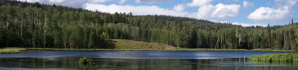 Barker Recreation AreaCampingPhoto: Recreation.gov (RIDB) / public domain6.4 mi
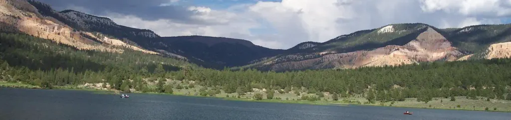 Pine Lake CampgroundCampingPhoto: Recreation.gov (RIDB) / public domain7.8 mi
Source: Roamze catalog (indexable pages within 10 miles, PostGIS distance)
- Griffin Top RoadHiking · ~1 min drive
- Griffin Point TrailHiking · ~4 min drive
- Great Western Trail - Griffin Top SectionHiking · ~6 min drive
- Great Western Trail - UtahHiking · ~2 min drive
- Halls Creek TrailHiking · ~7 min drive
- White Creek TrailHiking · ~8 min drive
- Griffin Top RoadHiking · ~2 min drive
- Beck Hollow TrailHiking · ~10 min drive
- Great Western Trail - Sweetwater SectionHiking · ~10 min drive
- Barker Trail Head RoadHiking · ~7 min drive

Map and trail data © OpenStreetMap contributors
