Great Western Trail - Utah
- 0.6 mi
- round trip
- 249 ft
- climb
- 10,236 ft
- high point
- Out and back
- route
Is Great Western Trail - Utah open right now?
Alert in the area
The Forest Service lists 3 alerts for Dixie National Forest.
Duck Creek OHV Trail Closure
Agency alert covering Dixie National Forest · Order 0407-26-11 · USFS · Dixie National Forest
Pine Valley Ranger District Area and Trail and Road Closure
Agency alert covering Dixie National Forest · Order 0407-26-01 · USFS · Dixie National Forest
Cedar City Temporary Road Closure Webster Flat Road (Order 0407-25-02)
Agency alert covering Dixie National Forest · Order 0407-25-02 · USFS · Dixie National Forest
As of · Source: USFS · Dixie National Forest. Agencies don't list every closure — check before you go.
The Great Western Trail - Utah is a short, easy hike in the Escalante Ranger District of Dixie National Forest, managed by the Forest Service. The route is about a mile long and rises roughly 250 feet from a low point of about 9,980 feet to a high of about 10,236 feet, making it an out-and-back that fits easily into a day of exploring the surrounding area. Griffin Top Road lies about half a mile away, and the Great Western Trail - Horse Creek Section is about 1.3 miles off. For anglers, Round Willow Bottom and Long Willow Bottom are both within about 4 miles. Barker Recreation Area, about 5.4 miles away, offers camping.
Local outfitters
- Under Canvas8 mi away
- Canyons of Escalante RV Park16 mi away
Not on Roamze yet. Their page has how to reach them.
- Griffin Top RoadHiking0.5 mi
- Great Western Trail - Horse Creek SectionHiking1.3 mi
- Round Willow BottomLake fishing3.7 mi
- Long Willow BottomLake fishing3.8 mi
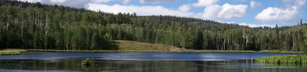 Barker Recreation AreaCampingPhoto: Recreation.gov (RIDB) / public domain5.4 mi
- Shangri LaRock climbing5.7 mi
- The Air StripRock climbing5.9 mi
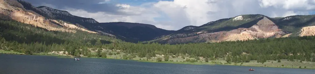 Pine Lake CampgroundCampingPhoto: Recreation.gov (RIDB) / public domain8.9 mi
Source: Roamze catalog (indexable pages within 10 miles, PostGIS distance)
- Griffin Top RoadHiking · Next door
- Great Western Trail - Horse Creek SectionHiking · ~2 min drive
- Great Western Trail - Griffin Top SectionHiking · ~4 min drive
- Griffin Top RoadHiking · Next door
- Halls Creek TrailHiking · ~5 min drive
- White Creek TrailHiking · ~7 min drive
- Barker Trail Head RoadHiking · ~5 min drive
- Griffin Point TrailHiking · ~5 min drive
- Great Western Trail - Sweetwater SectionHiking · ~11 min drive
- Great Western Trail - Barker SectionHiking · ~6 min drive

Map and trail data © OpenStreetMap contributors
