Francis Peak Trail
- 7.6 mi
- round trip
- 3,690 ft
- climb
- 8,780 ft
- high point
- Out and back
- route
Is Francis Peak Trail open right now?
No closures listed
The Forest Service lists no closures for Uinta-Wasatch-Cache National Forest.
As of · Source: USFS · Uinta-Wasatch-Cache National Forest. Agencies don't list every closure — check before you go.
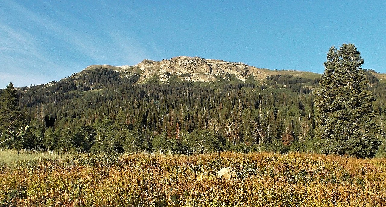
Francis Peak Trail is an expert-level out-and-back hike in the Salt Lake Ranger District of the Uinta-Wasatch-Cache National Forest in northern Utah, about 3 miles from the town of East Oaks. The trail is managed by the Forest Service and covers roughly 15 miles round trip, with a one-way elevation gain of 3,690 feet from a low point of about 5,028 feet to a high of about 8,780 feet. The Wolverine Trail starts just 0.4 miles away, and the Old Aqueduct Trail and Farmington Creek are both within about 2 miles. Climbers can head to Farmington Canyon, about 2.2 miles off.
Local outfitters
- Mantua Waterfront RV Resort33 mi away
- Midway Adventure Company40 mi away
Not on Roamze yet. Their page has how to reach them.
- Wolverine TrailHiking0.4 mi
- Old Aqueduct TrailHiking1.6 mi
- Farmington CreekHiking2 mi
 Farmington CanyonRock climbingPhoto: Marion Jensen, CC BY 3.0 (via Wikimedia Commons)2.2 mi
- Davis CountyRock climbingPhoto: Marion Jensen, CC BY 3.0 (via Wikimedia Commons)2.4 mi
- Playground - School Kids SlabRock climbingPhoto: Marion Jensen, CC BY 3.0 (via Wikimedia Commons)2.4 mi
- Bountiful Peak CgCamping3.4 mi
 Weber RiverCanoeingPhoto: User:Sexygreatgrama, CC BY-SA 3.0 (via Wikimedia Commons)6.4 mi
Source: Roamze catalog (indexable pages within 10 miles, PostGIS distance)
- Francis Peak TrailHiking · Next door
- Wolverine TrailHiking · Next door
- Farmington Spine TrailHiking · ~4 min drive
- Steed Creek TrailHiking · ~6 min drive
- Little Canyon TrailHiking · ~4 min drive
- Farmington Spine TrailHiking · ~4 min drive
- Farmington Spine TrailHiking · ~5 min drive
- Great Western TrailHiking · ~3 min drive
- Centennial TrailHiking · ~4 min drive
- Shepard Creek TrailHiking · ~5 min drive
Map and trail data © OpenStreetMap contributors
