Farmington Spine Trail
- 2.6 mi
- round trip
- 2,866 ft
- climb
- 8,356 ft
- high point
- Out and back
- route
Is Farmington Spine Trail open right now?
No closures listed
The Forest Service lists no closures for Uinta-Wasatch-Cache National Forest.
As of · Source: USFS · Uinta-Wasatch-Cache National Forest. Agencies don't list every closure — check before you go.
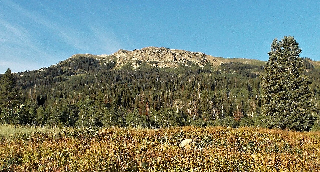
The Farmington Spine Trail is a hard, out-and-back hike in Utah's Uinta-Wasatch-Cache National Forest, within the Salt Lake Ranger District. It covers about 5 miles of trail, rising from a low of roughly 5,475 feet to a high of about 8,356 feet, with an elevation gain of about 2,866 feet. The trail's shape and climb set it apart: it is a single route with a steep ascent, making it a challenging day on foot. It starts and ends at the same point, so the total gain is about 2,866 feet for the round trip. The trail lies within Forest Service land, and the nearest town is Farmington, which also gives the route its name. The surrounding area holds plenty to pair with the hike. The Centennial Trail is just 0.3 miles away, and the Triumph Trail is about 1.1 miles off. Climbers can head to Farmington Crag, about 1.9 miles away, and the Weber River offers paddling roughly 9 miles from the trail.
Local outfitters
- Mantua Waterfront RV Resort36 mi away
- Midway Adventure Company38 mi away
Not on Roamze yet. Their page has how to reach them.
- Centennial TrailHiking0.3 mi
- G2 Connector TrailHiking1 mi
- Triumph TrailHiking1.1 mi
- Bountiful Peak CgCamping1.7 mi
- Farmington CragRock climbing1.9 mi
- FarmingtonRock climbing2.1 mi
 Farmington CanyonRock climbingPhoto: Marion Jensen, CC BY 3.0 (via Wikimedia Commons)2.4 mi
 Weber RiverCanoeingPhoto: User:Sexygreatgrama, CC BY-SA 3.0 (via Wikimedia Commons)8.9 mi
Source: Roamze catalog (indexable pages within 10 miles, PostGIS distance)
- Centennial TrailHiking · Next door
- G2 Connector TrailHiking · ~2 min drive
- Steed Creek TrailHiking · ~3 min drive
- Triumph TrailHiking · ~2 min drive
- '03 Fire TrailHiking · ~3 min drive
- Davis Creek TrailHiking · ~3 min drive
- Francis Peak TrailHiking · ~4 min drive
- Davis Creek TrailHiking · ~3 min drive
- Hornet Canyon TrailHiking · ~3 min drive
- Bst Access TrailHiking · ~4 min drive
Map and trail data © OpenStreetMap contributors
