Wolverine Trail
- 3.8 mi
- round trip
- 2,619 ft
- climb
- 9,212 ft
- high point
- Out and back
- route
Is Wolverine Trail open right now?
No closures listed
The Forest Service lists no closures for Uinta-Wasatch-Cache National Forest.
As of · Source: USFS · Uinta-Wasatch-Cache National Forest. Agencies don't list every closure — check before you go.
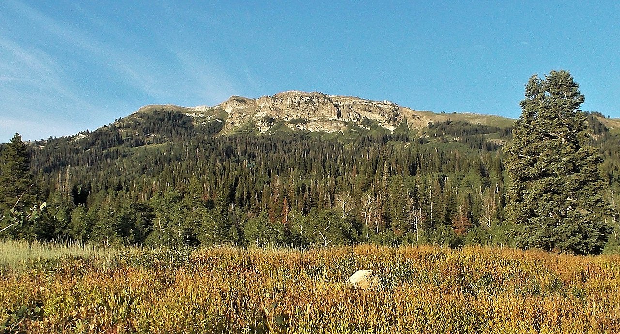
The Wolverine Trail is a hard hike in Utah's Uinta-Wasatch-Cache National Forest, within the Salt Lake Ranger District. It is an out-and-back route of about 7.6 miles, with a total elevation gain of 2,619 feet. The trail starts at roughly 5,189 feet and climbs to a high point of about 9,212 feet. The Forest Service manages the land. The route is rated hard, so plan for a long day with a significant climb. Francis Peak Trail lies about 0.4 miles away, and Holmes Creek Road and the Great Western Trail are each about 1.6 miles off. For climbing, Farmington Canyon is about 2.6 miles away.
Local outfitters
- Mantua Waterfront RV Resort33 mi away
- Midway Adventure Company40 mi away
Not on Roamze yet. Their page has how to reach them.
- Francis Peak TrailHiking0.4 mi
- Holmes Creek RoadHiking1.6 mi
- Great Western TrailHiking1.6 mi
 Farmington CanyonRock climbingPhoto: Marion Jensen, CC BY 3.0 (via Wikimedia Commons)2.6 mi
- Davis CountyRock climbingPhoto: Marion Jensen, CC BY 3.0 (via Wikimedia Commons)2.7 mi
- Playground - School Kids SlabRock climbingPhoto: Marion Jensen, CC BY 3.0 (via Wikimedia Commons)2.8 mi
- Bountiful Peak CgCamping3.7 mi
 Weber RiverCanoeingPhoto: User:Sexygreatgrama, CC BY-SA 3.0 (via Wikimedia Commons)5.9 mi
Source: Roamze catalog (indexable pages within 10 miles, PostGIS distance)
- Francis Peak TrailHiking · Next door
- Francis Peak TrailHiking · Next door
- Farmington Spine TrailHiking · ~5 min drive
- Bair CanyonHiking · ~5 min drive
- Little Canyon TrailHiking · ~4 min drive
- Great Western TrailHiking · ~3 min drive
- Fruit Heights Upper Terrace TrailHiking · ~5 min drive
- Farmington Spine TrailHiking · ~5 min drive
- Farmington Upper TerraceHiking · ~5 min drive
- Farmington Spine TrailHiking · ~5 min drive
Map and trail data © OpenStreetMap contributors
