Equestrian Campground
Campground
Campground · 1.8 mi from the trail
Caution today
Agency alerts are in effect for this area; weather is marginal · USFS, OpenWeather · checked 6 h ago
Alert in the area
The Forest Service lists 3 alerts for Dixie National Forest.
Duck Creek OHV Trail Closure
Agency alert covering Dixie National Forest · Order 0407-26-11 · USFS · Dixie National Forest
Pine Valley Ranger District Area and Trail and Road Closure
Agency alert covering Dixie National Forest · Order 0407-26-01 · USFS · Dixie National Forest
Cedar City Temporary Road Closure Webster Flat Road (Order 0407-25-02)
Agency alert covering Dixie National Forest · Order 0407-25-02 · USFS · Dixie National Forest
As of · Source: USFS · Dixie National Forest. Agencies don't list every closure — check before you go.
Forsyth Trail is a 6.5-mile out-and-back hike in the Pine Valley Ranger District of Dixie National Forest in southern Utah. The Forest Service manages the surrounding land, and the trail begins at an elevation of about 7,086 feet, climbing to a high point of 9,150 feet before descending back to the start. The climb is front-loaded, with the steepest stretch coming at about mile 1.4, where the grade reaches 28 percent. The total elevation gain is about 2,290 feet, and the route is rated moderate. Plan for roughly 3.5 hours on foot. The trail makes an easy pairing with other outings in the area. The Santa Clara River Trail and the Practice Loop both lie within about 2 miles, and Pine Valley Guard Station offers camping about 2.4 miles away. Baker Dam Campground is about 7 miles off for an overnight base.
Equestrian Campground
Campground
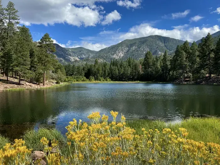
 If it rainsBeneathtimp, CC0 · Wikimedia Commons
Places © OpenStreetMap contributors · Photos: Beneathtimp, CC0 (commons)
More in HurricaneNot on Roamze yet. Their page has how to reach them.
 Pine Valley Guard StationCampingPhoto: Recreation.gov (RIDB) / public domain2.4 mi
Source: Roamze catalog (indexable pages within 10 miles, PostGIS distance)

