Mitt Moody Campground
Campground
Campground · 1.3 mi from the trail
Alert in the area
The Forest Service lists 3 alerts for Dixie National Forest.
Duck Creek OHV Trail Closure
Agency alert covering Dixie National Forest · Order 0407-26-11 · USFS · Dixie National Forest
Pine Valley Ranger District Area and Trail and Road Closure
Agency alert covering Dixie National Forest · Order 0407-26-01 · USFS · Dixie National Forest
Cedar City Temporary Road Closure Webster Flat Road (Order 0407-25-02)
Agency alert covering Dixie National Forest · Order 0407-25-02 · USFS · Dixie National Forest
As of · Source: USFS · Dixie National Forest. Agencies don't list every closure — check before you go.
Gardner Peak Trail is an out-and-back hike of about 8 miles in Utah's Pine Valley Ranger District, part of Dixie National Forest. It climbs from about 6,600 feet to roughly 8,770 feet, a gain of about 2,170 feet, and is rated hard. The trail is on natural surface, and both horses and bikes are allowed. It's open year-round, so a trip can be planned at any time of the year. The Pine Valley Guard Station sits about 1.3 miles away, as does the Crackfoot Loop and the Water Canyon Trail. Climbers can find Hero Wall about 4.6 miles away.
Mitt Moody Campground
Campground
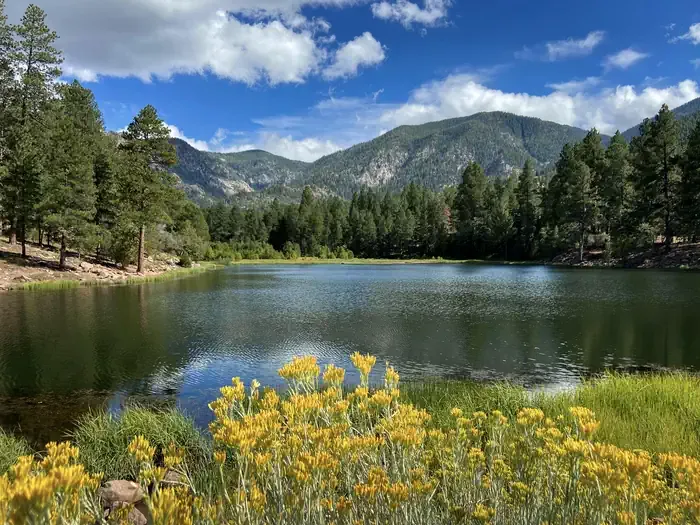
 If it rains5of7, CC BY-SA 2.0 · Wikimedia Commons
Places © OpenStreetMap contributors · Photos: 5of7, CC BY-SA 2.0 (commons)
More in HurricaneNot on Roamze yet. Their page has how to reach them.
 Pine Valley Guard StationCampingPhoto: Recreation.gov (RIDB) / public domain1.3 mi
Source: Roamze catalog (indexable pages within 10 miles, PostGIS distance)
 Comanche TrailHiking · ~16 min drivePhoto: brsolutions, CC BY 3.0 (via Wikimedia Commons)

