Corral Creek
- 3.7 mi
- round trip
- 2,456 ft
- climb
- 10,973 ft
- high point
- Out and back
- route
Is CORRAL CREEK open right now?
Alert in the area
The Forest Service lists 2 alerts for Ashley National Forest.
Anvil Draw Boat Ramp Temporary Closure
Agency alert covering Ashley National Forest · Order 0401-26-01-03 · USFS · Ashley National Forest
Flaming Gorge Reservoir Water Levels
Agency alert covering Ashley National Forest · USFS · Ashley National Forest
As of · Source: USFS · Ashley National Forest. Agencies don't list every closure — check before you go.
Corral Creek is a 7.4-mile out-and-back hike in the Duchesne Ranger District of Ashley National Forest in Utah, managed by the Forest Service. The route starts at about 10,966 feet and climbs to a high point of 10,973 feet, so the ascent is only a few dozen feet, but the climb is steep, with the steepest stretch at 21% around the 0.8-mile mark. The route is rolling, and the total elevation gain is about 2,456 feet, with an equal loss on the way back. That makes the hike a moderate outing that takes roughly 3.5 hours. Nearby, Rt. Fork Log Hollow is about half a mile away, and Corral Creek Trail is 1.9 miles off. For an overnight stay, Yellowpine campground is about 2.9 miles away.
Local outfitters
- Midway Adventure Company43 mi away
- Rocky Mountain Outfitters44 mi away
Not on Roamze yet. Their page has how to reach them.
- Rt. Fork Log HollowHiking0.5 mi
- Corral Creek TrailHiking1.9 mi
- McAfee Basin High Country TrailHiking2.1 mi
- East Slope Burnt RidgeHiking2.5 mi
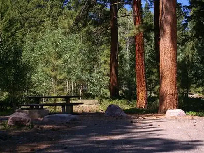 YellowpineCampingPhoto: Recreation.gov (RIDB) / public domain2.9 mi
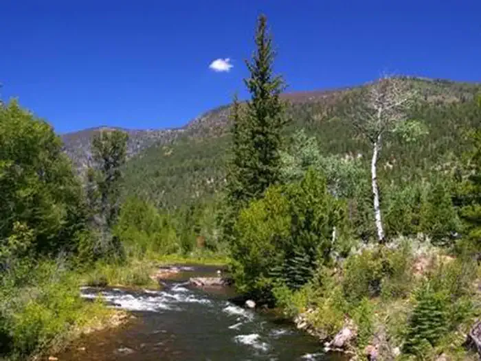 Miners GulchCampingPhoto: Recreation.gov (RIDB) / public domain3.1 mi
- Rock Creek Group CampgroundCamping3.3 mi
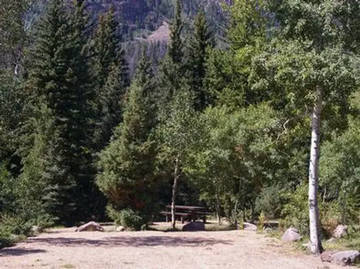 Rock Creek Group (UT)CampingPhoto: Recreation.gov (RIDB) / public domain3.4 mi
Source: Roamze catalog (indexable pages within 10 miles, PostGIS distance)
- Rt. Fork Log HollowHiking · Next door
- Corral Creek TrailHiking · ~3 min drive
- StillwaterHiking · ~6 min drive
- ROCK CREEKHiking · ~13 min drive
- Stillwater TrailHiking · ~5 min drive
- East Slope Burnt RidgeHiking · ~4 min drive
- McAfee Bypass TrailHiking · ~7 min drive
- Brown Duck TrailHiking · ~14 min drive
- FAIRWAY LOOPHiking · ~9 min drive
- Log Hollow (Wedge Hollow)Hiking · ~4 min drive
