Corral Creek Trail
- 3.3 mi
- round trip
- 2,623 ft
- climb
- 10,973 ft
- high point
- Out and back
- route
Is Corral Creek Trail open right now?
Alert in the area
The Forest Service lists 2 alerts for Ashley National Forest.
Anvil Draw Boat Ramp Temporary Closure
Agency alert covering Ashley National Forest · Order 0401-26-01-03 · USFS · Ashley National Forest
Flaming Gorge Reservoir Water Levels
Agency alert covering Ashley National Forest · USFS · Ashley National Forest
As of · Source: USFS · Ashley National Forest. Agencies don't list every closure — check before you go.
Corral Creek Trail is a hard hike in the Duchesne Ranger District of Ashley National Forest in northeastern Utah, managed by the Forest Service. The trail is an out-and-back route of about 6.6 miles, with a one-way climb of roughly 2,279 feet from the starting point at about 9,038 feet to a high point of about 10,973 feet. The steepest stretch comes at about 1.5 miles in, where the grade reaches about 23%. The trail is a rolling climb, and the total round-trip gain and loss are each about 2,623 feet. The nearest town is Duchesne, about 10 miles away. The McAfee Basin High Country Trail lies about a mile away, and the Stillwater Trail is about 1.7 miles off. For an overnight stay, Rock Creek Group Campground is about 2.2 miles away, and Miners Gulch is about 2.4 miles away.
Local outfitters
- Midway Adventure Company45 mi away
- Rocky Mountain Outfitters46 mi away
Not on Roamze yet. Their page has how to reach them.
- McAfee Basin High Country TrailHiking0.9 mi
- Stillwater TrailHiking1.7 mi
- StillwaterHiking1.8 mi
- CORRAL CREEKHiking1.9 mi
- Rock Creek Group CampgroundCamping2.2 mi
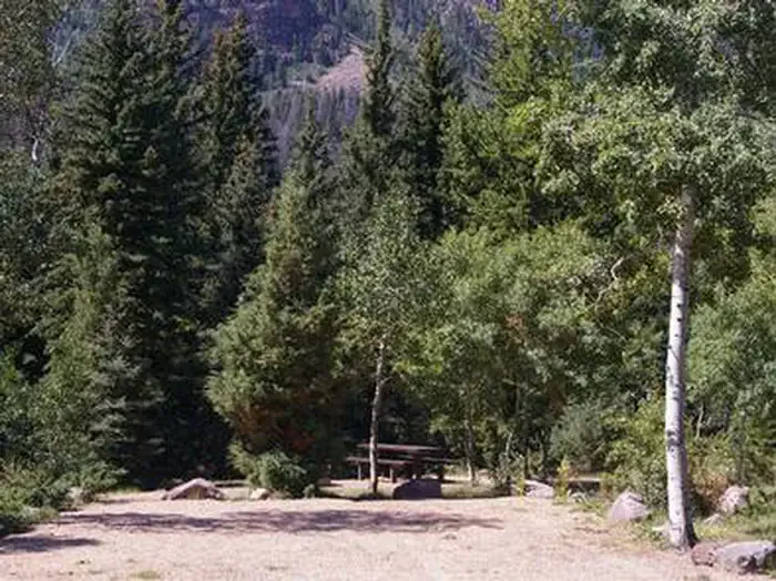 Rock Creek Group (UT)CampingPhoto: Recreation.gov (RIDB) / public domain2.3 mi
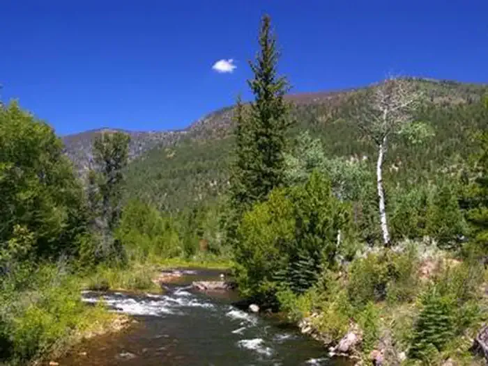 Miners GulchCampingPhoto: Recreation.gov (RIDB) / public domain2.4 mi
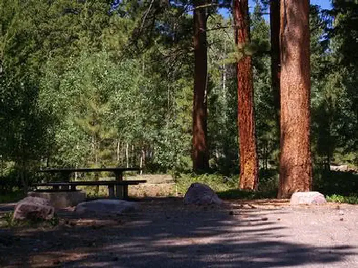 YellowpineCampingPhoto: Recreation.gov (RIDB) / public domain2.7 mi
Source: Roamze catalog (indexable pages within 10 miles, PostGIS distance)
- StillwaterHiking · ~3 min drive
- CORRAL CREEKHiking · ~3 min drive
- DRY CANYONHiking · ~5 min drive
- Brown Duck TrailHiking · ~12 min drive
- McAfee Bypass TrailHiking · ~3 min drive
- Rt. Fork Log HollowHiking · ~4 min drive
- East Slope Burnt RidgeHiking · ~7 min drive
- ROCK CREEKHiking · ~14 min drive
- Rock CreekHiking · ~10 min drive
- Stillwater TrailHiking · ~4 min drive
Map and trail data © OpenStreetMap contributors
