Site 47 - Juniper Basin Group Campsite
Campground
Campground · 5.3 mi from the trail
Covert Arch Trail is an easy, short out-and-back hike on Bureau of Land Management land in the Moab Field Office, about 1.08 miles long and roughly 2.2 miles round trip. The trail starts at about 5,018 feet, and the high point is nearly the same, with a total climb of about 382 feet and a steepest stretch of about 15% grade at around 0.98 miles in. The most comfortable months for a visit are spring and fall. Typical averages from a nearby weather station at Castle Valley put May highs around 78°F and October highs around 71°F, while July highs reach about 96°F and January lows drop to about 19°F. The trip takes about an hour. Delicate Arch Viewpoint Trails and Delicate Arch Trail are both within about 3 miles, and Devils Garden Campground is about 5.4 miles away.
Site 47 - Juniper Basin Group Campsite
Campground
 If it rainsCarter Pape, CC BY-SA 4.0 · Wikimedia Commons
Hell's Revenge
Attraction
Places © OpenStreetMap contributors · Photos: Carter Pape, CC BY-SA 4.0 (commons)
More in MoabNot on Roamze yet. Their page has how to reach them.
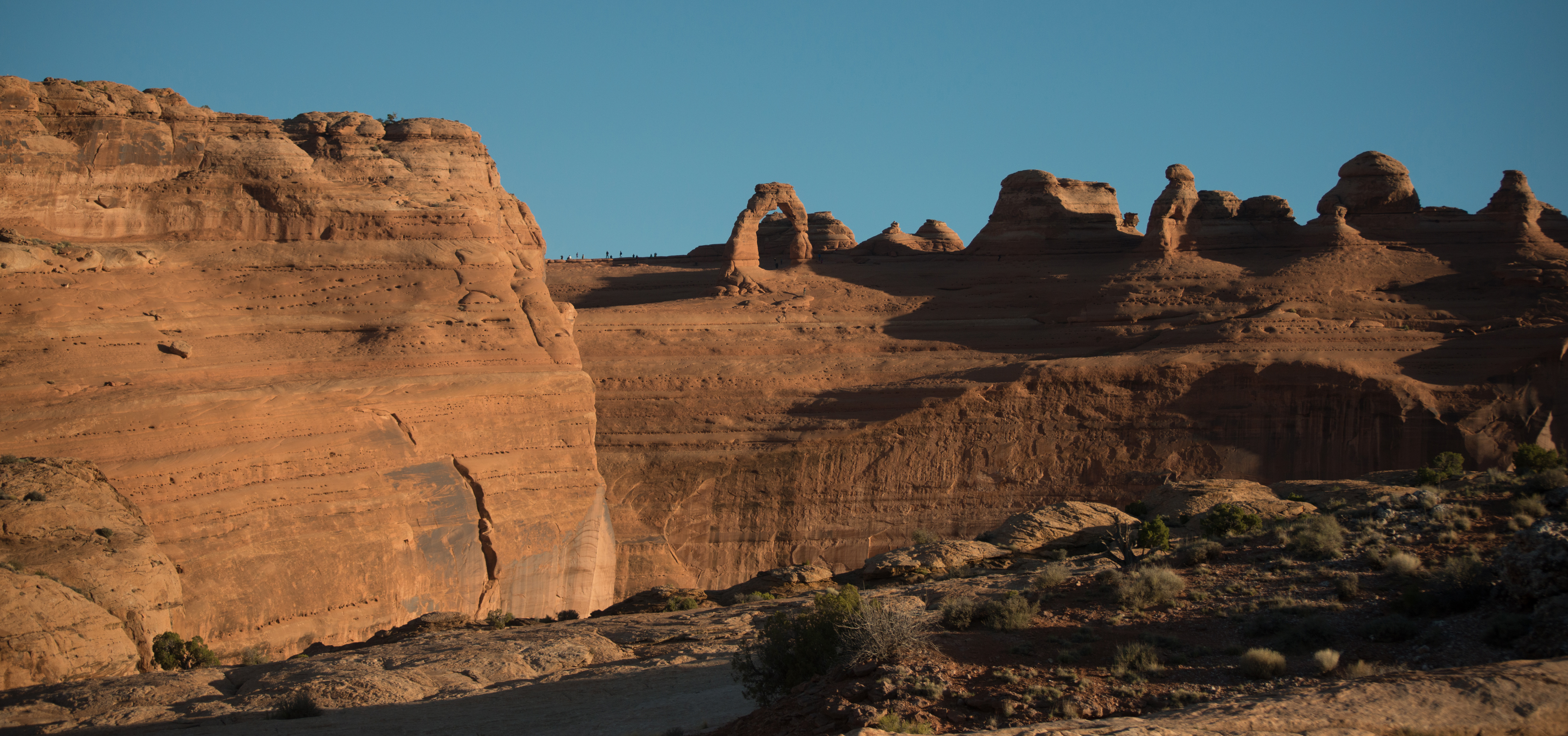 Delicate Arch Viewpoint TrailsHikingPhoto: NPS/Chris Wonderly2.8 mi
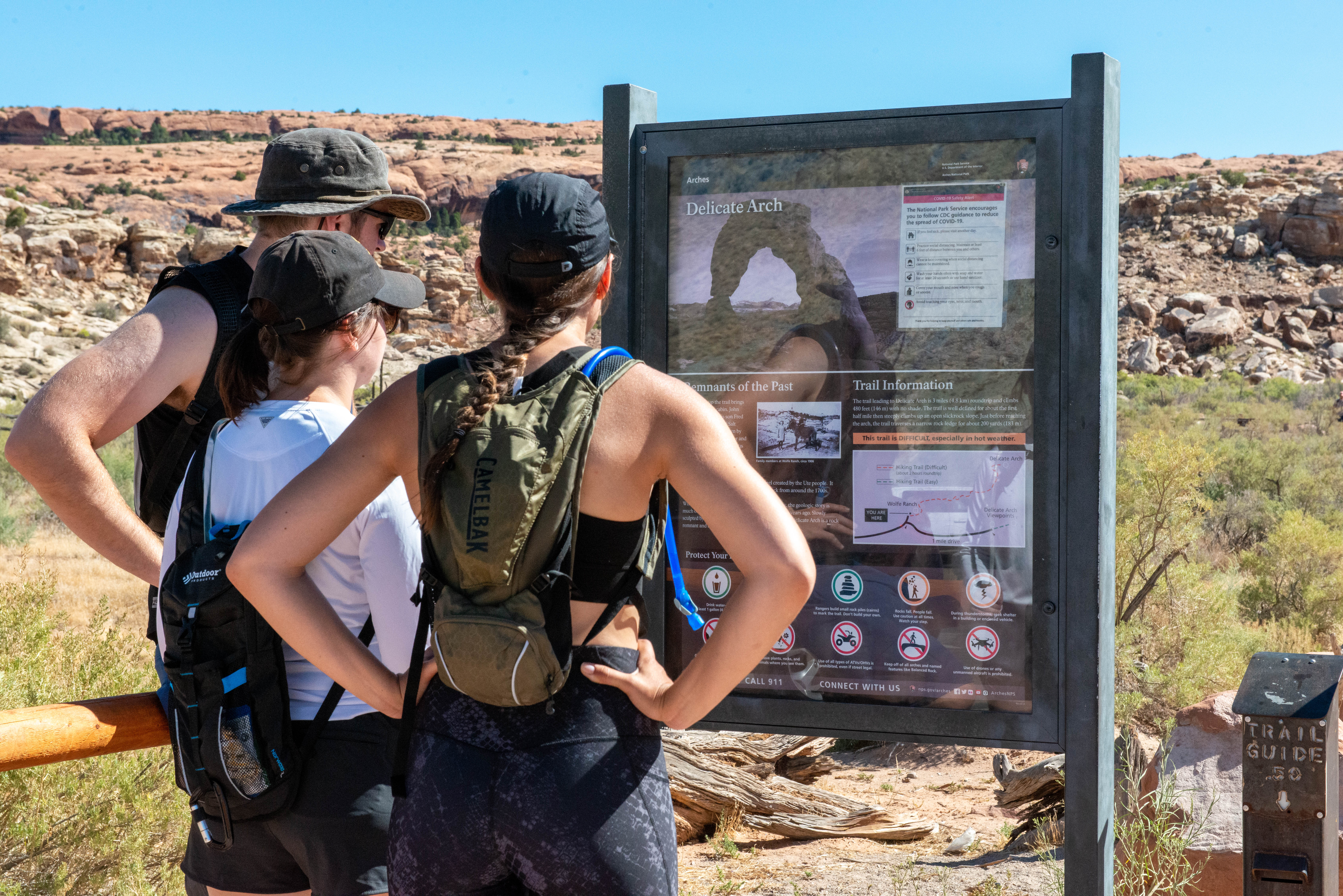 Delicate Arch TrailHikingPhoto: NPS/Veronica Verdin3.1 mi
 Fiery Furnace LoopHikingPhoto: Greg Willis from Denver, CO, usa, CC BY-SA 2.0 (via Wikimedia Commons)4.5 mi
 Parriot MesaRock climbingPhoto: Michael Adams, CC BY-SA 3.0 (via Wikimedia Commons)7.1 miThe NunsRock climbingPhoto: Michael Adams, CC BY-SA 3.0 (via Wikimedia Commons)7.1 mi
 The StageRock climbingPhoto: Ken Lund from Reno, Nevada, USA, CC BY-SA 2.0 (via Wikimedia Commons)7.7 mi
Source: Roamze catalog (indexable pages within 10 miles, PostGIS distance)
Fiery Furnace LoopHiking · ~8 min drivePhoto: Greg Willis from Denver, CO, usa, CC BY-SA 2.0 (via Wikimedia Commons) Broken Arch TrailHiking · ~8 min drivePhoto: Fredlyfish4, CC BY-SA 4.0 (via Wikimedia Commons)
Also worth it near here
Best months: March–May and September–November. Best months have typical highs of 55–85 °F, lows of 30 °F or warmer (32 °F where the station doesn't record snow), at most one snowy day and no more than 12 wet days.
Jan
41° / 19°
4 wet · 2 snow
Feb
49° / 26°
5 wet · 1 snow
Mar
60° / 34°
5 wet · 1 snow
Apr
67° / 40°
5 wet
May
78° / 50°
4 wet
Jun
90° / 60°
3 wet
Jul
96° / 65°
3 wet
Aug
93° / 63°
4 wet
Sep
84° / 55°
4 wet
Oct
71° / 41°
4 wet
Nov
55° / 30°
4 wet · 1 snow
Dec
42° / 21°
4 wet · 2 snow
Typical high / low (°F) and days with rain or snow, 1991–2020. Measured at Castle Valley, UT, 9.7 mi away at 4,725 ft. Source: NOAA NCEI U.S. Climate Normals 1991–2020.
Map and trail data © OpenStreetMap contributors


