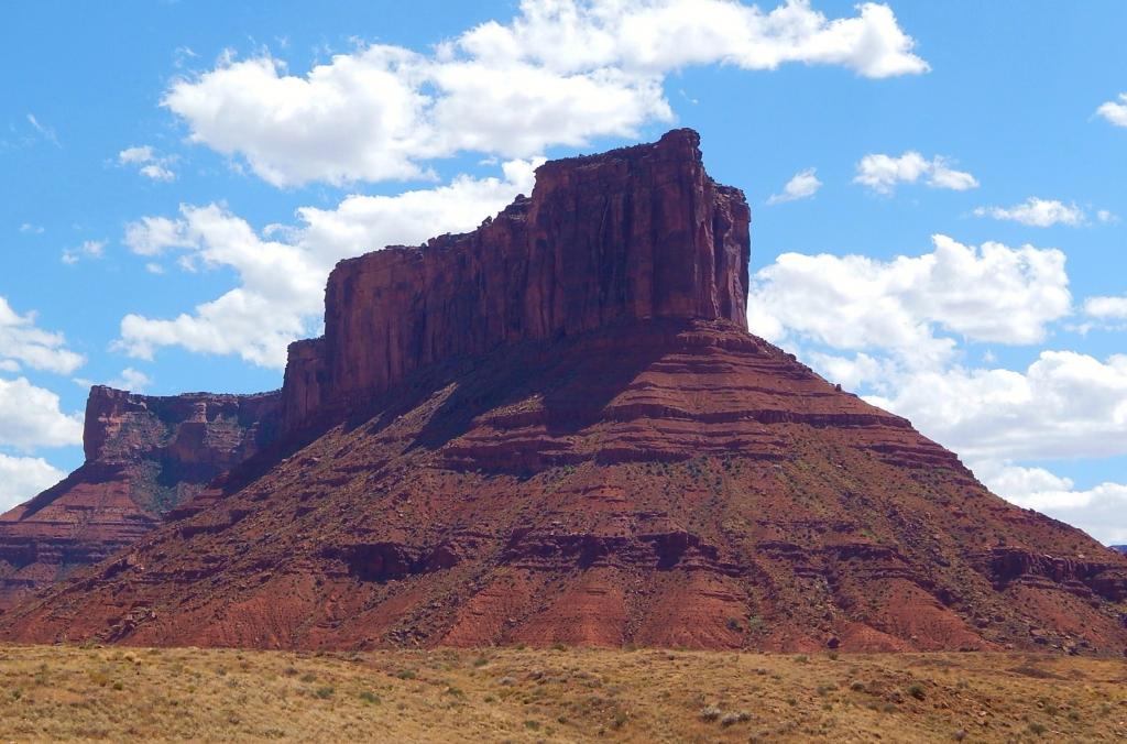
Upper Onion Creek Camping Area
Campground
Campground · 2.6 mi from the trail
Clear at last check
Weather is good · OpenWeather · checked 15 h ago
Professor Creek / Mary Jane Canyon Trail is a moderate out-and-back hike in southern Utah on Bureau of Land Management land within the Moab Field Office. The route is 7.6 miles long, with a total elevation gain of 992 feet and a high point of 4912 feet. It starts at 4370 feet and climbs steadily over the first few miles, reaching its steepest stretch at about the 3-mile mark, where the grade peaks at 7 percent. The trail's front-loaded climb and its return descent make it a full-day outing, and it pairs naturally with other hikes and climbing in the area. Spring and fall are the most comfortable times to go. Typical averages from a nearby weather station at Castle Valley put May highs around 77°F and October highs around 68°F, while July averages climb to about 95°F. The trail sits just 0.1 mile from the Sylvester Trail, and climbers can head to the Sister Superior Group, about 1.3 miles away. The Castleton Tower Trail and Lower Onion Creek Campground are both about 3.7 miles off.
Upper Onion Creek Camping Area
Campground
 If it rainsCarter Pape, CC BY-SA 4.0 · Wikimedia Commons
Hell's Revenge
Attraction
Places © OpenStreetMap contributors, Places © Overture Maps Foundation · Photos: Carter Pape, CC BY-SA 4.0 (commons)
More in MoabNot on Roamze yet. Their page has how to reach them.
 Sister Superior GroupRock climbingPhoto: dconvertini, CC BY-SA 2.0 (via Wikimedia Commons)1.3 mi
 Castleton Tower TrailHikingPhoto: Davemeistermoab, CC BY-SA 3.0 (via Wikimedia Commons)3.1 mi
Source: Roamze catalog (indexable pages within 10 miles, PostGIS distance)
Castleton Tower TrailHiking · ~5 min drivePhoto: Davemeistermoab, CC BY-SA 3.0 (via Wikimedia Commons) Jimmy Keen TrailHiking · ~15 min drivePhoto: Fredlyfish4, CC BY-SA 4.0 (via Wikimedia Commons)
 Fisher Towers TrailHiking · ~7 min drivePhoto: John Fowler from Placitas, NM, USA, CC BY 2.0 (via Wikimedia Commons)
Also worth it near here
Best months: March–May and September–October. Best months have typical highs of 55–85 °F, lows of 30 °F or warmer (32 °F where the station doesn't record snow), at most one snowy day and no more than 12 wet days.
Jan
39° / 18°
Feb
46° / 25°
Mar
58° / 33°
Apr
66° / 40°
May
77° / 50°
Jun
89° / 60°
Jul
95° / 68°
Aug
92° / 65°
Sep
83° / 56°
Oct
68° / 42°
Nov
52° / 30°
Dec
39° / 19°
Typical high / low (°F) and days with rain or snow, 1991–2020. Measured at Castle Valley 1se, UT, 4.7 mi away at 4,905 ft. This station doesn't record snowfall. Source: NOAA NCEI U.S. Climate Normals 1991–2020.
Map and trail data © OpenStreetMap contributors