Lower Onion Creek Campground
Campground
Campground · < 0.1 mi from the trail
Lower Onion Creek Campground is a Bureau of Land Management campground in Utah's Moab Field Office, about 0.4 miles from the Lower Onion Creek Group Sites and the Upper Onion Creek Group Site. It is a simple base for overnight stays, with restrooms on site and a $20/night fee paid in cash or check at the campground. Spring and fall are the most comfortable times to visit. Typical averages from the nearby Dewey weather station show April highs around 73°F and October highs around 74°F, while July averages climb to about 101°F. The campground sits close to several other spots. The Red Onion Loop Trail and Fisher Towers Trail are both about 2.4 miles away, and Fisher Towers, a climbing area, is about 3 miles off. Hittle Bottom Group Site is about 2.4 miles away.
Lower Onion Creek Campground
Campground
Sorrel River Grill
Restaurant
 If it rainsCarter Pape, CC BY-SA 4.0 · Wikimedia Commons
Hell's Revenge
Attraction
Places © OpenStreetMap contributors · Photos: Carter Pape, CC BY-SA 4.0 (commons)
More in MoabNot on Roamze yet. Their page has how to reach them.
 Fisher Towers TrailHikingPhoto: John Fowler from Placitas, NM, USA, CC BY 2.0 (via Wikimedia Commons)2.8 mi
 Fisher TowersRock climbingPhoto: Greg Schaefer., CC BY 3.0 (via Wikimedia Commons)3 mi
 Echo TowerRock climbingPhoto: Bureau of Land Management - Utah, Public domain (via Wikimedia Commons)3.3 miThe TitanRock climbingPhoto: Bureau of Land Management - Utah, Public domain (via Wikimedia Commons)3.5 mi
Source: Roamze catalog (indexable pages within 10 miles, PostGIS distance)
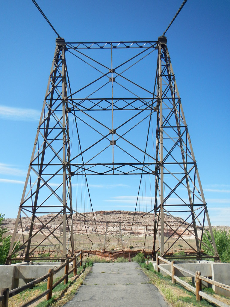 Dewey Bridge Dispersed CampgroundCamping · ~10 min drivePhoto: Saint Urho — CC BY 2.0 (via Flickr)
Best months: April–May and October. Best months have typical highs of 55–85 °F, lows of 30 °F or warmer (32 °F where the station doesn't record snow), at most one snowy day and no more than 12 wet days.
Jan
42° / 16°
Feb
52° / 24°
Mar
65° / 31°
Apr
73° / 37°
May
83° / 45°
Jun
95° / 53°
Jul
101° / 60°
Aug
98° / 58°
Sep
90° / 48°
Oct
74° / 34°
Nov
57° / 24°
Dec
44° / 17°
Typical high / low (°F) and days with rain or snow, 1991–2020. Measured at Dewey, UT, 6.1 mi away at 4,120 ft. This station doesn't record snowfall. Source: NOAA NCEI U.S. Climate Normals 1991–2020.
Lower Onion Creek Campground
Book on Recreation.gov
