Site 47 - Juniper Basin Group Campsite
Campground
Campground · 0.6 mi from the trail
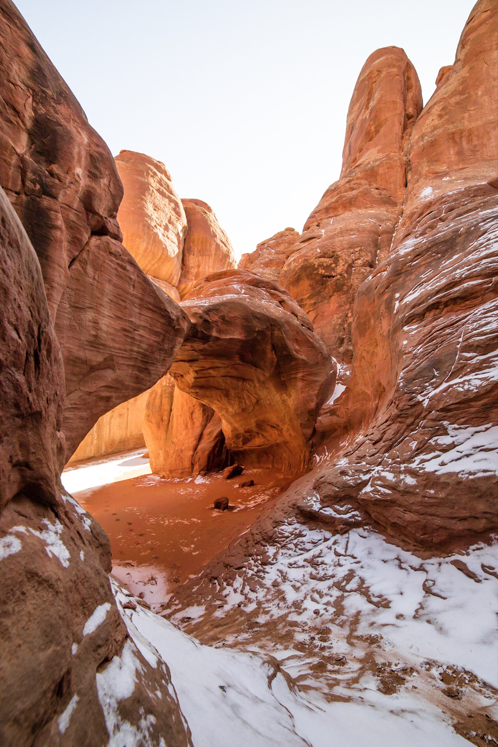 Photo: NPS/Kayla Vogt
No closures listed
The National Park Service lists no closures for Arches National Park.
As of · Source: NPS · Arches National Park. Agencies don't list every closure — check before you go.
Hike through deep sand to find this hidden arch between tall sandstone walls. You may also choose to continue across a grassland to Broken Arch, returning via the same trail or making a loop through the campground. Sand Dune Arch Trail • Roundtrip Distance: 0.4 mi (0.6 km) • Time: 15-30 min • Elevation Change: 0 ft (0 m) • Difficulty: Easy • Hike Description: Hike through deep sand to a secluded arch tucked among sandstone fins. Do not climb or jump off the arch. • Accessibility: While the trail is mostly level, it crosses deep sand and has one very narrow section, which makes it not accessible to wheelchairs. • Dogs are not allowed on this trail. Service animals are allowed in national parks. What is a service animal? Broken Arch Loop Trail • Roundtrip Distance: 2.3 mi (3.7 km) • Time: 60 minutes • Elevation Change: 59 ft (18 m) • Difficulty: Moderate • Hike Description: Cross a grassland to an arch perched above a pygmy forest of piñon pine and juniper trees. The trail loops through a section of the campground. • Accessibility: This trail is not accessible to wheelchairs. • Dogs are not allowed on this trail. Service animals are allowed in national parks. What is a service animal? Many of Arches' popular places show evidence of previous people's actions, such as carved initials or names in the rock. You can help preserve the natural beauty of this place by minimizing your impacts and choosing to leave no trace.
Site 47 - Juniper Basin Group Campsite
Campground
 If it rainsCarter Pape, CC BY-SA 4.0 · Wikimedia Commons
Hell's Revenge
Attraction
Places © OpenStreetMap contributors · Photos: Carter Pape, CC BY-SA 4.0 (commons)
More in MoabNot on Roamze yet. Their page has how to reach them.
 Broken Arch ConnectorHikingPhoto: Sandy Horvath-Dori from Grand Junction, CO, USA, CC BY 2.0 (via Wikimedia Commons)0.1 mi
 Broken Arch TrailHikingPhoto: Fredlyfish4, CC BY-SA 4.0 (via Wikimedia Commons)0.6 mi
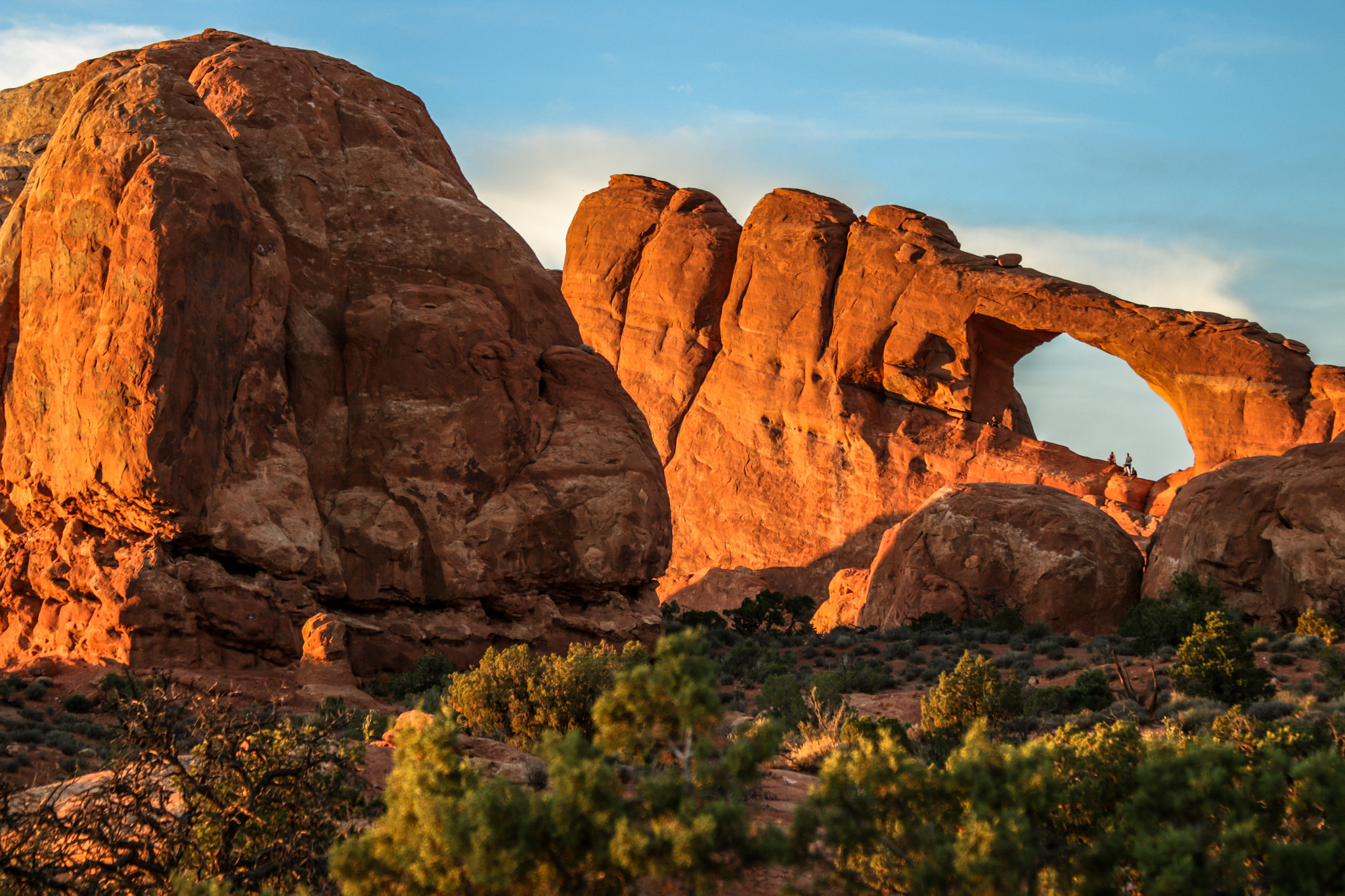 Skyline Arch TrailHikingPhoto: NPS/ Kait Thomas0.6 mi
 The Marching MenRock climbingPhoto: James St. John, CC BY 2.0 (via Wikimedia Commons)5.5 mi
 Arches National ParkRock climbingPhoto: inkknife_2000 (7.5 million views +), CC BY-SA 2.0 (via Wikimedia Commons)5.9 mi
 The StageRock climbingPhoto: Ken Lund from Reno, Nevada, USA, CC BY-SA 2.0 (via Wikimedia Commons)8.4 mi
Source: Roamze catalog (indexable pages within 10 miles, PostGIS distance)
Broken Arch ConnectorHiking · Next doorPhoto: Sandy Horvath-Dori from Grand Junction, CO, USA, CC BY 2.0 (via Wikimedia Commons)Broken Arch TrailHiking · Next doorPhoto: Fredlyfish4, CC BY-SA 4.0 (via Wikimedia Commons) Amphitheater PathHiking · ~1 min drivePhoto: Ken Lund from Reno, Nevada, USA, CC BY-SA 2.0 (via Wikimedia Commons)
Also worth it near here
Best months: March–May and September–October. Best months have typical highs of 55–85 °F, lows of 30 °F or warmer (32 °F where the station doesn't record snow), at most one snowy day and no more than 12 wet days.
Jan
39° / 17°
5 wet
Feb
47° / 25°
5 wet
Mar
59° / 32°
4 wet
Apr
67° / 39°
4 wet
May
78° / 48°
4 wet
Jun
90° / 58°
3 wet
Jul
96° / 66°
4 wet
Aug
92° / 63°
5 wet
Sep
83° / 53°
5 wet
Oct
68° / 40°
5 wet
Nov
52° / 27°
4 wet
Dec
39° / 17°
5 wet
Typical high / low (°F) and days with rain or snow, 1991–2020. Measured at Moab Canyonland Ap, UT, 9.2 mi away at 4,561 ft. The station sits about 600 ft lower than this place, so expect it a little cooler here. This station doesn't record snowfall. Source: NOAA NCEI U.S. Climate Normals 1991–2020.


