Bountiful Peak Trail
- 6.6 mi
- round trip
- 3,735 ft
- climb
- 9,256 ft
- high point
- Out and back
- route
Is Bountiful Peak Trail open right now?
No closures listed
The Forest Service lists no closures for Uinta-Wasatch-Cache National Forest.
As of · Source: USFS · Uinta-Wasatch-Cache National Forest. Agencies don't list every closure — check before you go.
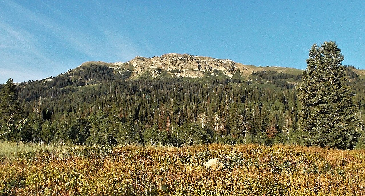
Bountiful Peak Trail offers a moderate alpine hike with steady elevation gain through the Wasatch Range foothills. This 5.18-mile route ascends over 1,300 feet to reach scenic ridgeline views overlooking the Salt Lake Valley and surrounding peaks. The trail features mixed terrain with forested sections and open ridge walking, making it an excellent choice for hikers seeking mountain vistas without extreme technical difficulty.
Local outfitters
- Midway Adventure Company36 mi away
- Mantua Waterfront RV Resort37 mi away
Not on Roamze yet. Their page has how to reach them.
Conditions and forecast on Bountiful Peak
Daily highs and lows, wind and the chance of precipitation at the summit and route start for the next 7 days, from the Open-Meteo model.
- G2 Connector TrailHiking1.2 mi
- Farmington Flat RoadHiking1.4 mi
- Triumph TrailHiking1.4 mi
- Bountiful Peak CgCamping1.4 mi
- Davis Creek TrailHiking1.5 mi
- Farmington CragRock climbing2.9 mi
- FarmingtonRock climbing3.3 mi
- BountifulRock climbing3.6 mi
Source: Roamze catalog (indexable pages within 10 miles, PostGIS distance)
- G2 Connector TrailHiking · ~2 min drive
- Triumph TrailHiking · ~2 min drive
- Centennial TrailHiking · ~3 min drive
- Steed Creek TrailHiking · ~4 min drive
- Farmington Flat RoadHiking · ~2 min drive
- Farmington Spine TrailHiking · ~3 min drive
- Gold Hill TrailHiking · ~3 min drive
- G2 Connector TrailHiking · ~3 min drive
- Skyline DriveHiking · ~5 min drive
- Old North TrailHiking · ~4 min drive
Also worth it near here

Route details
- Distance
- 6.6 mi round trip
- Climbing
- About 3,735 ft
- Summit
- 9,256 ft
- Difficulty
- Hard
- Time
- About 2.5 hours
Other routes up Bountiful Peak
Questions about this route
How long is the Bountiful Peak Trail on Bountiful Peak?
About 6.6 mi round trip.
How much elevation gain is on the Bountiful Peak Trail?
About 3,735 ft of climbing round trip.
How hard is the Bountiful Peak Trail?
It is rated hard.
How long does the Bountiful Peak Trail take?
About 2.5 hours round trip.
How many routes go up Bountiful Peak?
2: Bountiful Peak Trail and Skyline Drive.
Map and trail data © OpenStreetMap contributors
