Utah · Hiking
Davis Creek Trail
- 2.8 mi
- round trip
- 2,762 ft
- climb
- 8,849 ft
- high point
- Out and back
- route
Caution at last check
Agency alerts are in effect for this area; weather is marginal · USFS, OpenWeather · checked 13 h ago
Loading this week's forecast
Is Davis Creek Trail open right now?
No closures listed
The Forest Service lists no closures for Uinta-Wasatch-Cache National Forest.
As of · Source: USFS · Uinta-Wasatch-Cache National Forest. Agencies don't list every closure — check before you go.
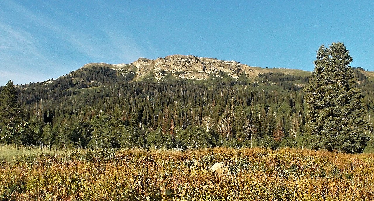
Davis Creek Trail is a 5.66-mile out-and-back hike in Utah with 2,762 feet of elevation gain and loss. The trail reaches a maximum elevation of 8,849 feet.
Local outfitters
- Midway Adventure Company37 mi away
- Mantua Waterfront RV Resort37 mi away
Not on Roamze yet. Their page has how to reach them.
- Triumph TrailHiking0.4 mi
- G2 Connector TrailHiking0.5 mi
- Old North TrailHiking0.5 mi
- Cattleman TrailHiking0.6 mi
- Farmington CragRock climbing1.6 mi
- FarmingtonRock climbing2.1 mi
- Bountiful Peak CgCamping2.6 mi
 Playground - School Kids SlabRock climbingPhoto: Marion Jensen, CC BY 3.0 (via Wikimedia Commons)2.9 mi
Source: Roamze catalog (indexable pages within 10 miles, PostGIS distance)
- G2 Connector TrailHiking · Next door
- Old North TrailHiking · Next door
- Steed Creek TrailHiking · ~2 min drive
- Farmington Spine TrailHiking · ~3 min drive
- Davis Creek TrailHiking · Next door
- Cattleman TrailHiking · Next door
- Bountiful Peak TrailHiking · ~3 min drive
- G2 Connector TrailHiking · ~1 min drive
- Davis CreekHiking · ~2 min drive
- Triumph TrailHiking · Next door
Also worth it near here
Map and trail data © OpenStreetMap contributors
