Skyline Drive
- 7.7 mi
- round trip
- 2,042 ft
- climb
- 9,098 ft
- high point
- Out and back
- route
Is Skyline Drive open right now?
No closures listed
The Forest Service lists no closures for Uinta-Wasatch-Cache National Forest.
As of · Source: USFS · Uinta-Wasatch-Cache National Forest. Agencies don't list every closure — check before you go.
Skyline Drive is a hard hike in Utah's Uinta-Wasatch-Cache National Forest, within the Salt Lake Ranger District. The route is an out-and-back of about 15.4 miles, with a total elevation gain of 2,042 feet. The climb starts at a low point of 7,234 feet and reaches a high of 9,098 feet. The Forest Service manages the land, and the hike is rated hard. Plan for a full day on foot, with time to rest and take in the views at the top. The Tuttle Loop Trail and Parrish Creek are both within about 1.5 miles, and the Bountiful climbing area is about 2.6 miles away. For an overnight stay, Bountiful Peak Campground sits about 3.6 miles from the trail.
Local outfitters
- Midway Adventure Company33 mi away
- Rocky Mountain Outfitters35 mi away
Not on Roamze yet. Their page has how to reach them.
Keep exploring — more trails worth the drive
HIKE
Tuttle Loop Trail
~2 min drive
6.88-mile out-and-back trail in Utah with 3,277 ft gain and 7,986 ft max elevation.
HIKE
TUTTLE LOOP
~3 min drive
1.6-mile out-and-back out-and-back in Utah with 914 ft elevation gain.
HIKE
Stone Creek Trail
~3 min drive
6.02-mile out-and-back trail in Utah with 2,746 ft elevation gain and loss.
HIKE
BUCKLAND RIDGE
~4 min drive
1.3-mile out-and-back trail in Utah with 458 ft gain and 7,250 ft max elevation.
HIKE
Bonneville Shoreline Trail
~5 min drive
11.24-mile out-and-back trail in Utah with 5,139 ft elevation gain and loss.
HIKE
PARRISH CREEK
~3 min drive
2.6-mile out-and-back trail in Utah with 1,183 ft elevation gain and loss.
HIKE
Bountiful Peak Trail
~5 min drive
Moderate 5.2-mile Wasatch hike with 1,342 ft gain to alpine ridge views.
HIKE
Deuel Creek Trail
~4 min drive
1.38-mile out-and-back hike in Utah with 696 ft gain and 6,240 ft max elevation.
HIKE
Great Western Trail
~6 min drive
22.95-mile out-and-back trail in Utah with 3,420 ft elevation gain.
HIKE
Great Western Trail
~3 min drive
2.14-mile out-and-back hike in Utah with 1,042 ft gain.
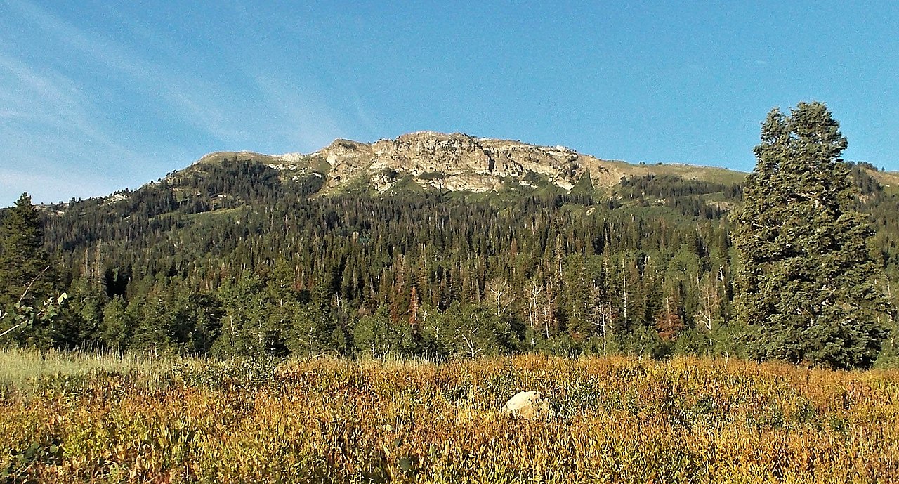

Route details
- Distance
- 7.7 mi round trip
- Climbing
- About 2,042 ft
- Summit
- 9,256 ft
- Difficulty
- Hard
- Time
- About 4 hours
Other routes up Bountiful Peak
Questions about this route
How long is the Skyline Drive on Bountiful Peak?
About 7.7 mi round trip.
How much elevation gain is on the Skyline Drive?
About 2,042 ft of climbing round trip.
How hard is the Skyline Drive?
It is rated hard.
How long does the Skyline Drive take?
About 4 hours round trip.
How many routes go up Bountiful Peak?
2: Bountiful Peak Trail and Skyline Drive.
Conditions and forecast on Bountiful Peak
Daily highs and lows, wind and the chance of precipitation at the summit and route start for the next 7 days, from the Open-Meteo model.
Map and trail data © OpenStreetMap contributors
