Kirkland Creek Trail
- 7.9 mi
- loop
- 1,280 ft
- climb
- 2,649 ft
- high point
- Loop
- route
- Mar–Jun, Sep–Nov
- best months
Is KIRKLAND CREEK TRAIL open right now?
Closure in the area
There's a closure order in Cherokee National Forest. It doesn't name KIRKLAND CREEK TRAIL, so check the source for the area it covers (3 listed).
Ocoee River Flooding Damage - Nov 5
Agency closure covering Cherokee National Forest · USFS · Cherokee National Forest
Campsite limitations
Agency closure covering Cherokee National Forest · Order 08-04-00-22-180 · USFS · Cherokee National Forest
Citico Creek Flood Closure
Agency closure covering Tellico Ranger District · USFS · Tellico Ranger District
Emergency road closures due to storm damage
Agency alert covering Cherokee National Forest · USFS · Cherokee National Forest
As of · Source: USFS · Cherokee National Forest. Agencies don't list every closure — check before you go.
Kirkland Creek Trail is a 7.9-mile loop in Tennessee's Cherokee National Forest, within the Tellico Ranger District. The Forest Service manages the land, and the trail starts at a high point of 2,620 feet. It ends at about 1,954 feet, with a total climb of 1,280 feet and a loss of 1,304 feet over the course of the loop. The steepest stretch comes at about 5.9 miles, where the grade reaches 22%, and the trail is rated moderate. Late spring and early fall are the most comfortable times to go. Typical averages from a nearby weather station at Andrews, North Carolina, run to highs around 77°F in May and 72°F in October. That station sits roughly 900 feet lower, so temperatures on the trail run cooler. Holly Flats Campground is just 0.3 miles away, and Henderson Mountain Trail is about 2.3 miles off. Bald River Trail and the Tellico River Area, about 2.7 and 2.9 miles away, round out the options for a longer trip.
Local outfitters
- GSM Outfitters43 mi away
- Hurshel's Outfitters49 mi away
Not on Roamze yet. Their page has how to reach them.
- Holly Flats CgCamping0.3 mi
- HENDERSON MOUNTAIN TRAILHiking2.3 mi
- Bald River Trail - NFS #88Hiking2.7 mi
- BALD RIVER TRAILHiking2.7 mi
- Tellico River AreaRiver fishing2.9 mi
- Dam Creek Walk-In Campground and Picnic AreaCamping3.3 mi
- Tellico RiverRiver fishing3.4 mi
 North River CgCampingPhoto: Chris M Morris, CC BY 2.0 (via Wikimedia Commons)3.5 mi
Source: Roamze catalog (indexable pages within 10 miles, PostGIS distance)
 Benton Mackaye -Cheoah RdHiking · ~14 min drivePhoto: pseabolt, CC BY 3.0 (via Wikimedia Commons)
- Snowbird MountainHiking · ~15 min drivePhoto: pseabolt, CC BY 3.0 (via Wikimedia Commons)
 FODDERSTACK MOUNTAINHiking · ~15 min drivePhoto: MichaelGras, CC BY 2.0 (via Flickr)
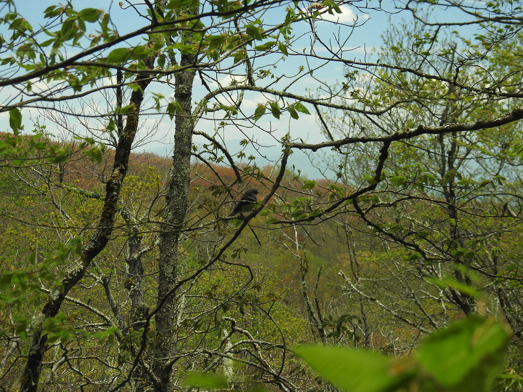 Hooper BaldHiking · ~17 min drivePhoto: MichaelGras, CC BY 2.0 (via Flickr)
- Mitchell LickHiking · ~17 min drivePhoto: pseabolt, CC BY 3.0 (via Wikimedia Commons)
 NORTH FORK OF CITICO TRAILHiking · ~16 min drivePhoto: Chris M Morris, CC BY 2.0 (via Wikimedia Commons)
- SOUTH FORK OF CITICO TRAILHiking · ~17 min drivePhoto: Chris M Morris, CC BY 2.0 (via Wikimedia Commons)
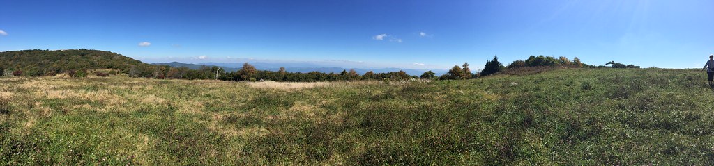 HuckleberryHiking · ~18 min drivePhoto: wordjunky, CC BY 2.0 (via Flickr)
- HENDERSON MOUNTAIN TRAILHiking · ~4 min drive
- ROCKY FLATS TRAILHiking · ~17 min drivePhoto: Chris M Morris, CC BY 2.0 (via Wikimedia Commons)
Best time to visit KIRKLAND CREEK TRAIL
Best months: March–June and September–November. Best months have typical highs of 55–85 °F, lows of 30 °F or warmer (32 °F where the station doesn't record snow), at most one snowy day and no more than 12 wet days.
Jan
50° / 27°
Feb
54° / 29°
Mar
62° / 35°
Apr
70° / 42°
May
77° / 51°
Jun
84° / 58°
Jul
86° / 62°
Aug
86° / 61°
Sep
82° / 56°
Oct
72° / 43°
Nov
61° / 34°
Dec
53° / 29°
Typical high / low (°F) and days with rain or snow, 1991–2020. Measured at Andrews, NC, 19.8 mi away at 1,749 ft. The station sits about 900 ft lower than this place, so expect it a little cooler here. This station doesn't record snowfall. Source: NOAA NCEI U.S. Climate Normals 1991–2020.
