Snowbird Mountain
 Photo: pseabolt, CC BY 3.0 (via Wikimedia Commons)
- 28.9 mi
- round trip
- 8,600 ft
- climb
- 5,366 ft
- high point
- Out and back
- route
Is Snowbird Mountain open right now?
Closure in the area
There's a closure order in Cherokee National Forest. It doesn't name Snowbird Mountain, so check the source for the area it covers (2 listed).
Ocoee River Flooding Damage - Nov 5
Agency closure covering Cherokee National Forest · USFS · Cherokee National Forest
Campsite limitations
Agency closure covering Cherokee National Forest · Order 08-04-00-22-180 · USFS · Cherokee National Forest
Emergency road closures due to storm damage
Agency alert covering Cherokee National Forest · USFS · Cherokee National Forest
As of · Source: USFS · Cherokee National Forest. Agencies don't list every closure — check before you go.
Snowbird Mountain is a hard hike in the Cherokee National Forest in North Carolina, managed by the Forest Service. The route is an out-and-back that starts at about 5,233 feet and climbs to about 5,366 feet, with a total gain of about 8,600 feet over the course of the trip. The steepest stretch comes around mile 11.1, where the grade reaches about 27%. The trail is natural-surfaced and allows bikes, and it is not an accessible route. Several other destinations sit close by. Hooper Bald is about 1.3 miles away, and Mitchell Lick is about 1.5 miles away. For an overnight base, Holder Cove Campground is about 4.2 miles off, and Snowbird Creek offers canoeing about 5 miles away.
Local outfitters
- GSM Outfitters36 mi away
- Hurshel's Outfitters43 mi away
Not on Roamze yet. Their page has how to reach them.
Conditions and forecast on Big Junction
Daily highs and lows, wind and the chance of precipitation at the summit and route start for the next 7 days, from the Open-Meteo model.
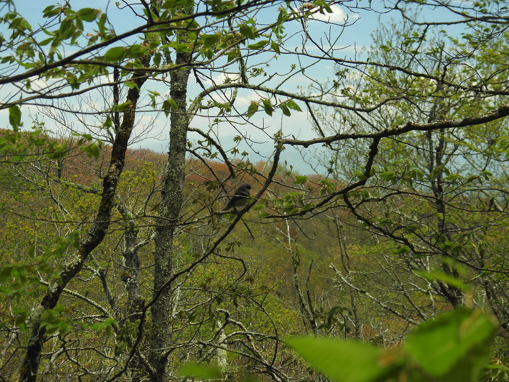 Hooper BaldHikingPhoto: MichaelGras, CC BY 2.0 (via Flickr)1.3 mi
- Mitchell LickHikingPhoto: pseabolt, CC BY 3.0 (via Wikimedia Commons)1.5 mi
- Benton Mackaye -Cheoah RdHikingPhoto: pseabolt, CC BY 3.0 (via Wikimedia Commons)1.6 mi
- Donley CabinCamping4.1 mi
 Holder Cove CampgroundCampingPhoto: Idawriter, CC BY-SA 3.0 (via Wikimedia Commons)4.2 mi
- State Line CgCampingPhoto: Idawriter, CC BY-SA 3.0 (via Wikimedia Commons)4.3 mi
- Snowbird CreekCanoeing5 mi
- Tellico RiverRiver fishing6.8 mi
Source: Roamze catalog (indexable pages within 10 miles, PostGIS distance)
- Hooper BaldHiking · ~2 min drivePhoto: MichaelGras, CC BY 2.0 (via Flickr)
- Mitchell LickHiking · ~3 min drivePhoto: pseabolt, CC BY 3.0 (via Wikimedia Commons)
 FODDERSTACK MOUNTAINHiking · ~6 min drivePhoto: MichaelGras, CC BY 2.0 (via Flickr)
 Naked GroundHiking · ~11 min drivePhoto: Ken Thomas, Public domain (via Wikimedia Commons)
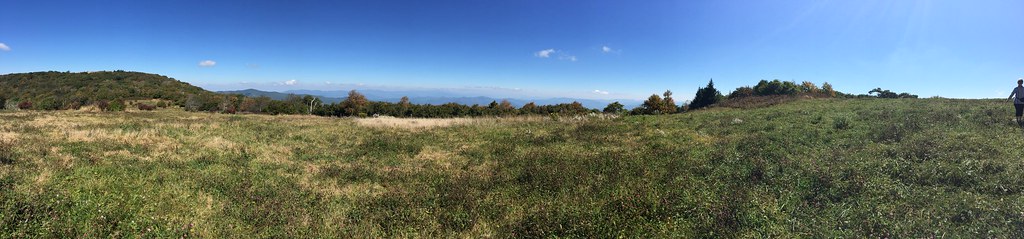 HuckleberryHiking · ~3 min drivePhoto: wordjunky, CC BY 2.0 (via Flickr)
- Benton Mackaye -Cheoah RdHiking · ~3 min drivePhoto: pseabolt, CC BY 3.0 (via Wikimedia Commons)
 SOUTH FORK OF CITICO TRAILHiking · ~13 min drivePhoto: Chris M Morris, CC BY 2.0 (via Wikimedia Commons)
- NORTH FORK OF CITICO TRAILHiking · ~12 min drivePhoto: Chris M Morris, CC BY 2.0 (via Wikimedia Commons)
 Wright's CreekHiking · ~6 min drivePhoto: MichaelGras, CC BY 2.0 (via Flickr)
- SUGAR COVE TRAILHiking · ~5 min drive
Route details
- Distance
- 28.9 mi round trip
- Climbing
- About 8,600 ft
- Summit
- 5,374 ft
- Difficulty
- Hard
- Time
- About 11 hours
Season
Season: Year-round.
Questions about this route
How long is the Snowbird Mountain on Big Junction?
About 28.9 mi round trip.
How much elevation gain is on the Snowbird Mountain?
About 8,600 ft of climbing round trip.
How hard is the Snowbird Mountain?
It is rated hard.
How long does the Snowbird Mountain take?
About 11 hours round trip.
When is the best time for the Snowbird Mountain?
Year-round.
