Henderson Mountain Trail
- 2.3 mi
- round trip
- 2,248 ft
- climb
- 2,839 ft
- high point
- Out and back
- route
- Mar–Jun, Sep–Nov
- best months
Is HENDERSON MOUNTAIN TRAIL open right now?
Closure in the area
There's a closure order in Cherokee National Forest. It doesn't name HENDERSON MOUNTAIN TRAIL, so check the source for the area it covers (3 listed).
Ocoee River Flooding Damage - Nov 5
Agency closure covering Cherokee National Forest · USFS · Cherokee National Forest
Campsite limitations
Agency closure covering Cherokee National Forest · Order 08-04-00-22-180 · USFS · Cherokee National Forest
Citico Creek Flood Closure
Agency closure covering Tellico Ranger District · USFS · Tellico Ranger District
Emergency road closures due to storm damage
Agency alert covering Cherokee National Forest · USFS · Cherokee National Forest
As of · Source: USFS · Cherokee National Forest. Agencies don't list every closure — check before you go.
HENDERSON MOUNTAIN TRAIL is a 4.52-mile out-and-back hike in Tennessee with 2,248 feet of elevation gain and loss. The trail reaches a maximum elevation of 2,839 feet.
Local outfitters
- GSM Outfitters41 mi away
- Hurshel's Outfitters47 mi away
Not on Roamze yet. Their page has how to reach them.
- Bald River Trail - NFS #88Hiking0.7 mi
- BALD RIVER TRAILHiking0.8 mi
- Tellico River AreaRiver fishing1.2 mi
- PANTHER BRANCH TRAILHiking1.3 mi
- Tellico RiverRiver fishing1.5 mi
- McNabb Creek GroupCamping2.2 mi
 Mcnabb Group CampCampingPhoto: Idawriter, CC BY-SA 3.0 (via Wikimedia Commons)2.2 mi
 North River CgCampingPhoto: Chris M Morris, CC BY 2.0 (via Wikimedia Commons)2.3 mi
Source: Roamze catalog (indexable pages within 10 miles, PostGIS distance)
 FODDERSTACK MOUNTAINHiking · ~13 min drivePhoto: MichaelGras, CC BY 2.0 (via Flickr)
 NORTH FORK OF CITICO TRAILHiking · ~13 min drivePhoto: Chris M Morris, CC BY 2.0 (via Wikimedia Commons)
 Benton Mackaye -Cheoah RdHiking · ~13 min drivePhoto: pseabolt, CC BY 3.0 (via Wikimedia Commons)
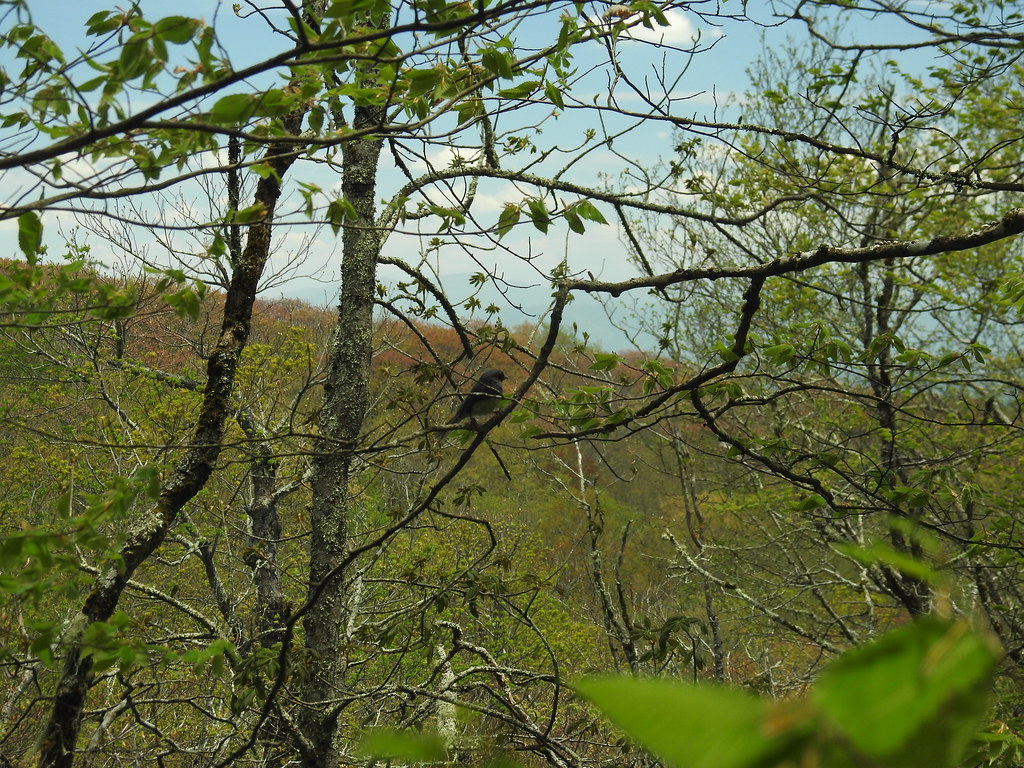 Hooper BaldHiking · ~16 min drivePhoto: MichaelGras, CC BY 2.0 (via Flickr)
- SOUTH FORK OF CITICO TRAILHiking · ~13 min drivePhoto: Chris M Morris, CC BY 2.0 (via Wikimedia Commons)
- ROCKY FLATS TRAILHiking · ~13 min drivePhoto: Chris M Morris, CC BY 2.0 (via Wikimedia Commons)
- Mitchell LickHiking · ~17 min drivePhoto: pseabolt, CC BY 3.0 (via Wikimedia Commons)
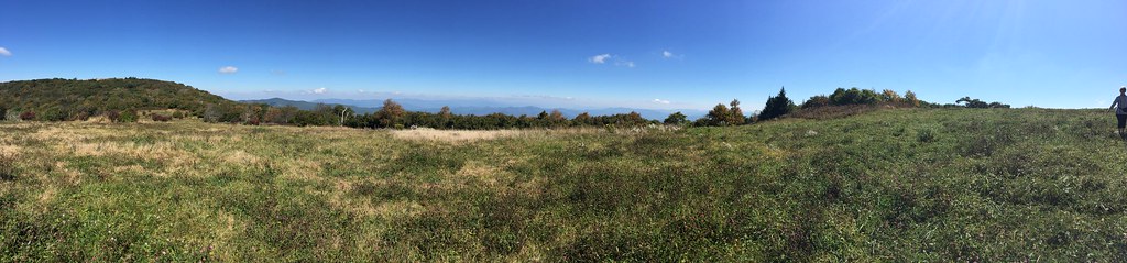 HuckleberryHiking · ~17 min drivePhoto: wordjunky, CC BY 2.0 (via Flickr)
- Snowbird MountainHiking · ~14 min drivePhoto: pseabolt, CC BY 3.0 (via Wikimedia Commons)
- PANTHER BRANCH TRAILHiking · ~2 min drive
Best time to visit HENDERSON MOUNTAIN TRAIL
Best months: March–June and September–November. Best months have typical highs of 55–85 °F, lows of 30 °F or warmer (32 °F where the station doesn't record snow), at most one snowy day and no more than 12 wet days.
Jan
50° / 27°
Feb
54° / 29°
Mar
62° / 35°
Apr
70° / 42°
May
77° / 51°
Jun
84° / 58°
Jul
86° / 62°
Aug
86° / 61°
Sep
82° / 56°
Oct
72° / 43°
Nov
61° / 34°
Dec
53° / 29°
Typical high / low (°F) and days with rain or snow, 1991–2020. Measured at Andrews, NC, 20.2 mi away at 1,749 ft. The station sits about 1,100 ft lower than this place, so expect it a little cooler here. This station doesn't record snowfall. Source: NOAA NCEI U.S. Climate Normals 1991–2020.
