Loading trail…

Free — you'll pick up right here.
Save this plan
Sign up to save your own editable copy — you'll pick up right here.
North Carolina
2.4 mi
Distance
1,844 ft
Gain
1h 23m
Time
No conditions check on file for this trail yet — always verify current conditions before you go.
Why you'll love it
Benton Mackaye -Cheoah Rd
AI-suggested draft · review before you go
No permit or access details on file for this trail — check with the local land manager before you go.
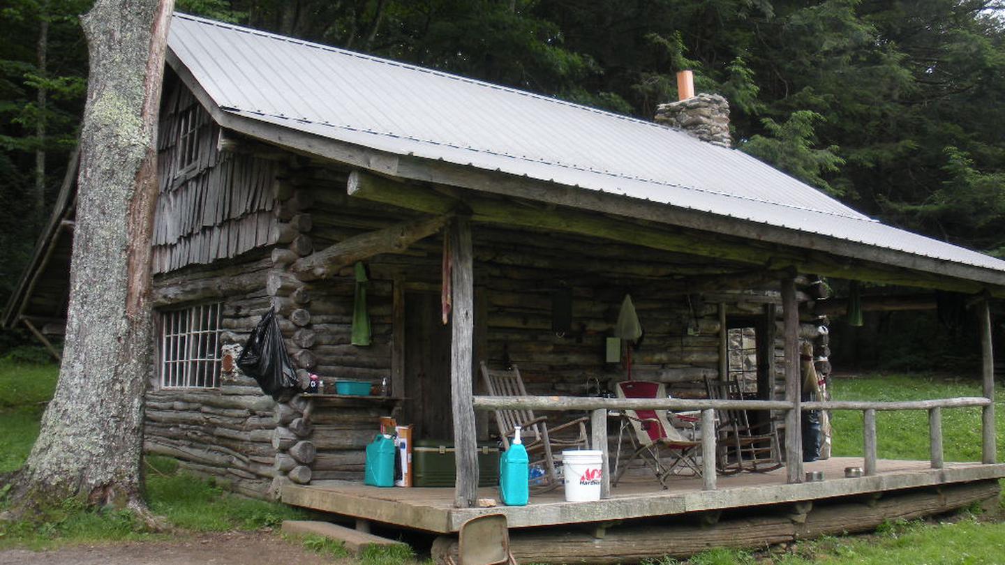
This 2.4-mile out-and-back trail follows the Benton MacKaye Trail in the remote highlands of western North Carolina, offering hikers a chance to explore one of the region's most scenic long-distance pathways. The trail traverses rugged mountain terrain with typical Appalachian forest cover, providing a moderate workout with rewarding views of the surrounding ridgelines and valleys. This section near Cheoah Road showcases the wild character of the Nantahala National Forest.
Strawberry Knob - Bmt
~3 min drive
3.60-mile out-and-back trail in North Carolina with 572 ft elevation gain and moderate difficulty.
Snowbird Mountain
~3 min drive
A challenging 28.88-mile out-and-back trail in Tennessee connecting multiple branches and creeks through Snowbird Mountain's backcountry network.
Huckleberry
~4 min drive
A challenging 1.82-mile out-and-back trail in Tennessee's Buffalo Mountain Park, ideal for experienced hikers seeking a difficult backcountry experience.
Ike Branch Trail
~16 min drive
Easy half-mile out-and-back walk along Ike Branch in Tennessee.
Mitchell Lick
~5 min drive
A 4.82-mile out-and-back Tennessee trail connecting to Big Snowbird, King Meadows, and Snowbird Creek trails.
Stratton Bald
~6 min drive
A 15.09-mile out-and-back Tennessee trail connecting to the Stratton Bald Alternate Trail, Benton MacKaye Trail, and Cherohala Skyway.
Middle Falls Alt.
~9 min drive
Easy 0.31-mile out-and-back trail in North Carolina with minimal elevation gain.
Burntrock Ridge
~10 min drive
A 3.45-mile out-and-back trail in Tennessee that connects to Middle Falls Trail, Big Snowbird Trail, and Sassafras Creek Trail.
Hangover Lead
~9 min drive
A strenuous 10.49-mile out-and-back trail in Tennessee featuring rocky terrain and connections to the Belding and Tapoco trails.
Middle Falls
~9 min drive
Easy 2.15-mile out-and-back trail in North Carolina with 521 ft elevation gain.